Today we're walking around Margate on a typical Tassie autumn day. Cloud, blue sky, clear, showers etc. Never boring. We're led for part of the way by Sally before she has to take off and leave us in Bob's hands.
We park at the Margate oval and head off onto the Margate Tramway Track which leaves on the south side of the ground.
I arrived when people were dropping their kids off at the primary school and there was no room at the club rooms to park, so I parked on the other end of the oval.
 |
| Sally grouped everyone for a photo. Makes a change to see their faces! |
I did suggest everyone should turnaround to keep the photo normal, but they declined.
 |
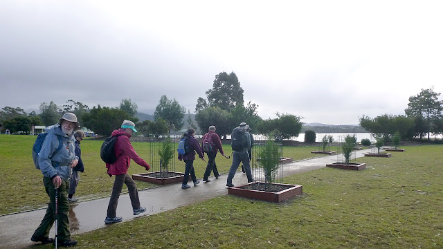
| Off we go |
The Margate Tramway ran from the Wallsend Colliery coal mine at Kaoota down to the wharf at the end of Gemalla Rd. Built in 1906 it was 20km or 12 miles long and had a 610mm or 2 foot gauge.
The jetty was about 80 metres long and could service ships with up to a 7 metre draft.
History lesson over, we continue on.
 |
| Looking towards Tinderbox |
 |
| It's a wide right of way that leads us to Englefield Drive. |
We follow Englefield to Frosts Road and turn left. This leads us to the turnoff to Harts Hill.
 |
| Heading up |
 |
| Looking back |
 |
| Near the top |
The marker is at the top and there's a bench for you to sit and enjoy the view.
It wasn't bad when we arrived, but we're surrounded by fast moving cloud fronts.
 |
| Looking west |
 |
| Mt. Wellington is hidden in cloud |
 |
| Across North West Bay to Tinderbox |
We move on, down a steep slippery track towards the Channel Highway. Along the way we pass some colourful flowers.
 |
| Open bush with many tracks |
We look for a place to have Morning Tea, which we find. Tea finished we move towards the Channel Highway which we cross to pick up the next track.
 |
| This takes us down to the Channel and around the shoreline |
Dave Burrows was a local orchardist who first laid out the track.
 |
| The start of the track at Baretta |
 |
| Looking south at the North West Bay Marina |
 |
| A rainbow over Coningham, to the south |
 |
| Tramway Creek runs into this little bay |
We cross the creek on a raised walkway, that leads us to Gemalla Road which was the site of the coal wharf in the past.
 |
| Looking back at Harts Hill |
 |
| Interesting stationary engine |
It's a Gordon and was outside of some workshops in Gemalla Road. Somewhere here we've passed over the old route of the Tramway to the wharf. Shortly past here Sally abandons us to the mercies of Bob as she has another appointment to attend. We turnoff onto another right of way leading back to the shore, past the old Austal shipbuilding site with its large shed.
I know a number of small industries were using the facilities, but now I see the big shed is being expanded to almost twice its length. I wonder what's happening?
 |
| Shipbuilding shed being expanded |
 |
| This is the Bundalla walking track |
The track leads us to the Esplanade and Beach Road, along the way this boat at anchor catches our attention.
 |
| Zooming in, it's a tourist boat with a mobile number and advertising whale watching |
Mystery solved, we continue onto Dru Point for lunch. Since leaving Harts Hill we've had a couple of showers so are looking for sheltered accommodation.
 |
| At last, Tas isn't looking back to see where I am |
We have a new member, Carol, and she's way back taking photos. Altogether a new experience for me not to be last.
 |
| Group of swans feeling safe in the park |
 |
| Safe enough to dance |
 |
| Lunch ahead and the shower has stopped |
Lunch finished, we make our way along the Dru Point Track, back to Beach Road and around the houses to the Margate Oval and our cars.
 |
| North West Bay |
 |
| Dru Point Track |
A good walk with a variety of Tasmanian weather to keep it interesting.
We had 13 walkers and covered 10.43km in 3:28 hrs. Always treat views from the top of Harts Hill.
Click here to download GPX


No comments:
Post a Comment