I'm sure everyone is tired of hearing how beautiful the weather is. Well, tough, it was another perfect day for the first walk of term two.
It's a bit of a drive from Kingston to just past Collinsvale, but it's surprising how close what appears to be back country, is to Hobart.
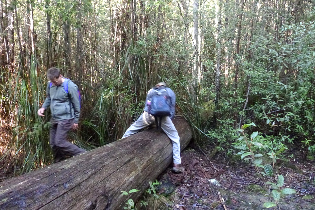
We arrived at the Myrtle Forest car park, where Bob presented us with some choices. The old firetrail we were going on is not looked after anymore and was getting overgrown and had at least one very large tree down across it. We subsequently found there were 2 more blocking the way beyond the first one.
So we decided to see how far we could get, as it was a new track for most of us, and come back with some variation.
 |
| Bob giving us our choices |
 |
| The walk from the carpark gate to the track start. |
 |
| The start of quite a lot of ferns. |
 |
| Wellington Park boundary |
Leaving the cars, we walked up the road to the Wellington Park boundary, and turned off on the Myrtle Forest Trail.
 |
| Start of the track |
 |
| Lots of rock up in the bush |
 |
| The old firetrail, and I suspect, old logging road. |
 |
| Lots of young growth. |
 |
| David pulls a sit down strike until Bob finds us a decent hill. |
 |
| Not all bushwalking is glamorous. |
 |
| Bob trying to stop me crossing. Photo by Carol |
 |
| Wet track and getting overgrown. |
 |
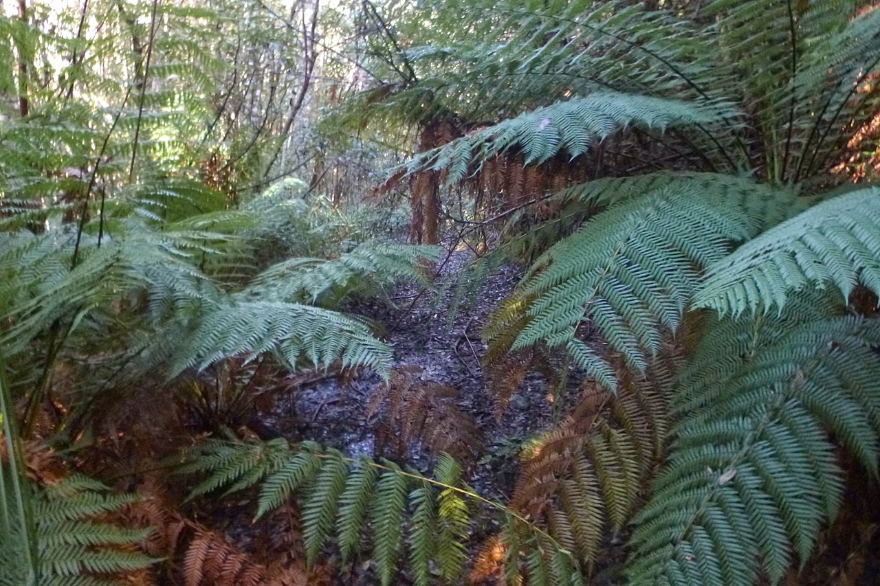
| More fern |
 |
| Mycena interrupta |
 |
| Mycena interrupta |
 |
| Photo by Carol |
 |
| Photo by Carol |
 |
| Photo by Carol |
 |
| Photo by Carol |
 |
| Photo by Carol |
The Park boundary is not an even line, but zig zags all over the place around private land. Bob had told us there was a bloke living just up the track with several friendly dogs.
After a while we came around a corner and the first sight was an old caravan on flat tires sitting just off the old road. This was followed by a small cabin, with smoke coming from a wood stove and an old white van. The caravan & van served as accommodation for the dogs.
The fellow was standing outside and greeted us in a friendly manner, proceeding to tell us his plans for the area. He was thinning the bush and removing the large clumps of cutting grass. This, he hoped, would let sunlight penetrate to ground level, enabling grass to grow which would attract the wallabies and other furries back to the area. He also planned to create several areas to look after injured animals, and to demonstrate bio diversity etc.
The dogs were in their shelters, and didn't sound that friendly. He told us about the other trees blocking the track, but we continued on toward Sorell Creek.
It was pleasant walking as long as you didn't think of leeches, as there were plenty waiting for a feed in the damp bush. Some people seem to attract them, while others don't. I'm one of the lucky ones.
We finally reached the first fallen tree. It was a very big fallen tree, at least 3+ metres high across the track. As the bush on either side was very dense, we turned back to find a place for Morning Tea. We'd been close enough to Sorell Creek to hear the rushing water.
Note: Perhaps the leaders should carry chainsaws for just this sort of problem.
Because of past logging and fires, most of the trees were young, and being packed close together, there was no chance for long views.
After tea, we took our variation by walking on another track. This led to an area that appeared to have been a sawmill site. It was over grown, but signs of activity were able to be seen. A couple of parallel logs at ground level may have been a tramway in the distant past.
 |
| Possible mill site |
 |
| There was no shortage of moss |
 |
| A glimpse of sky |
 |
| A lone leaf lying golden in the Sun. Art shot? |
 |
| Carol & John look at a remnant from the past. | |
Returning to the main track, we walked down past the dogs, back to the main road which leads up to Myrtle Falls, which is where we went next.
 |
| Looking across the creek. |
 |
| Heading up towards the falls. Photo by Carol |
 |
| Slippery track on right. |
 |
| Man ferns & Native Sassafras |
 |
| Man Fern or Dicksonia antarctica they grow from the top. |
 |
| Top of the falls and John wondering why this man is taking yet another photo. |
 |
| Bottom |
 |
| Middle |
 |
| Top |
 |
| Maybe this is the art shot. |
 |
| Group photo by Carol |
 |
| Track heading up from falls, and it gets worse. |
 |
| Still some giants here. It was around 2 metres diameter at the base. |
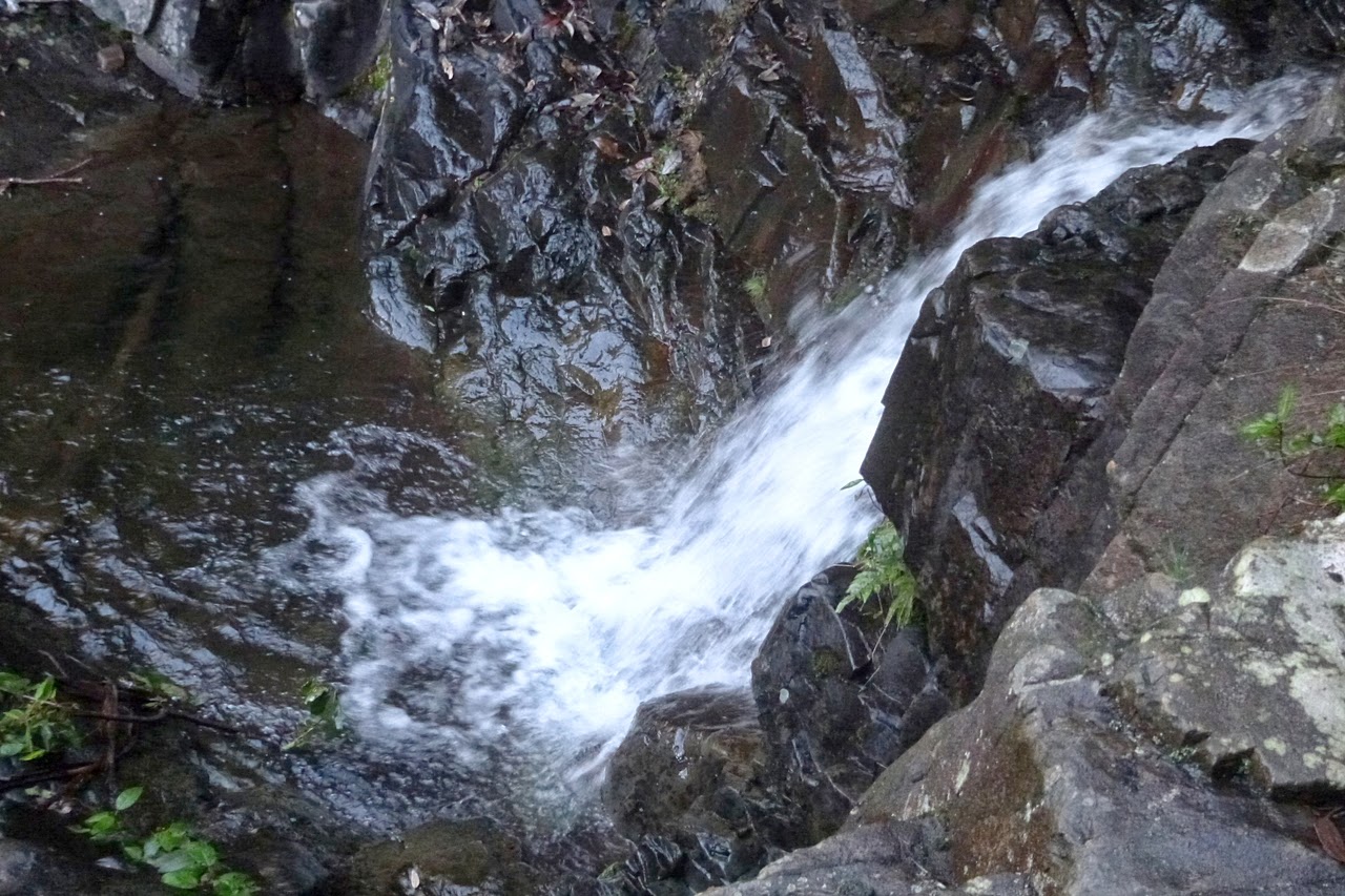
Many of us have been up this track before, it's wet, slippery rock, muddy, and after about 15 minutes you reach a platform out over Myrtle Falls. Not exactly Niagara, but very pretty.
After photos, and viewing the falls, we returned back down the path to a shelter for lunch. As we were eating (and picking off leeches) the bloke from earlier came by with one of his dogs. Fawn colour, very sturdy body and a very large head with a short snout. Not your cuddly poodle, but he had it on lead.
I made the mistake of saying "Hello mate" to the dog, and she nearly pulled her owner over. Was she friendly? Well, yes. She was all over me with a big smile.
Lunch done, we walked back down to the cars for the return drive.
We had 12 walkers and covered 6.7km in 3:19hrs. A short walk, but beautifully marked.
A note on Collinsvale. It was settled back in 1870 by a group of German & Danish Lutherans, attracted by clean water & cheap land. The settlement was proclaimed a town in 1881 and called Bismarck after the German Chancellor.
A Lutheran church was never built, and a number of the Germans joined the Seventh Day Adventists, who arrived in the area in 1889. They'll doorknock anywhere.
The First World War brought much agitating against anything German, so after much jumping up and down the name was changed to Collinsvale.
I wonder if they changed the name of the Bismarck Potato which was and is grown in Tassie?
Click here to download GPX file
 |
| Click to read history of area. Oh, we also have idiots here. |
 |
| Not sure how old this sign is, but people must have been taller as it's about 10 feet up. Good for people on horse back, though. |


