DO NOT USE
THE TRACK ACCESS FOR THIS IS CLOSED BY THE PROPERTY OWNER.
Today is a new walk led by Bob. Perfect weather with bright blue sky and warm temperatures of 23-24C.
We had to travel from Kingston to New Norfolk and pick up Ringwood Rd. which leads to the start of the track. Not an uneventful trip, first a road closure forced us to take to the streets of New Norfolk, then when we were on Ringwood Rd., Bob had a race with a lamb. It was close run, but the mighty Hyundai just lost it by a lamb's tail when the woolly beast suddenly veered off to join its mum. Next we came across a chicken crossing exercise at the last farm on the road. A number of chickens and a turkey practiced crossing the road in front of us, going back and forth several times, but we still don't know why.
I should say that this part of the track is on private land, but the owners have given permission for people to use it and its signposted as such. Good of them.
Driving up the hill the surface, which was dirt, got worse until we found where Bob planned to park. We had just enough room for parking and leaving passing room. Mind you, I don't know what traffic we expected, but we did the right thing.
We had to walk up hill (surprise!) to pick up the beginning of the track, with some variations by Bob, which turned out to be a good move and gave us a small loop at the beginning & end.
 |
| Getting geared up, the start is just up the hill to the left. |
 |
| Looking back |
 |
| Looking forward |
 |
| and the side. |
 |
| Someone's been busy. |
 |
| Our first gate. |
It was fairly steep and stony track, with good views from several places, but hazy.
We turned off onto an unused track to find a convenient log for Morning Tea. Bush fires had been through most of the hills, leaving blackened stumps & trees and clearing out the undergrowth.
 |
| All important Morning Tea conference. |
 |
| Morning Tea log. |
 |
| On the move again. |
 |
| Farewell to the Morning Tea log. |
After our break, we continued up - I forgot to say we had to pass over or around a couple of gates on the way. Finally we came to the start of the Wellington Park and the beginning of Ringwood Trail.
 |
| Start of the park. |
We kept climbing up Ringwood, which is a fire trail, on a wide, usually stony track. The track was not as steep as the beginning of the walk, but steady.
Along the way, we could see the Yellow Cliffs off in the distance. Another walk? The countryside on one side dropped down steeply and on the other became rocky and steep.
 |
| More surface rock appearing. |
 |
| Yellow Cliffs in the distance. |
For any U.S. readers, except for the gum trees, the top side reminded me
of Devils Den in Gettysburg in the battlefield park (U.S. Civil War). Mind you, it's been
a few years since I've been there.
Finally, we reached the top and the track flattened out and provided very good walking, with glimpses of some of the Mountains in the park through the trees.
 |
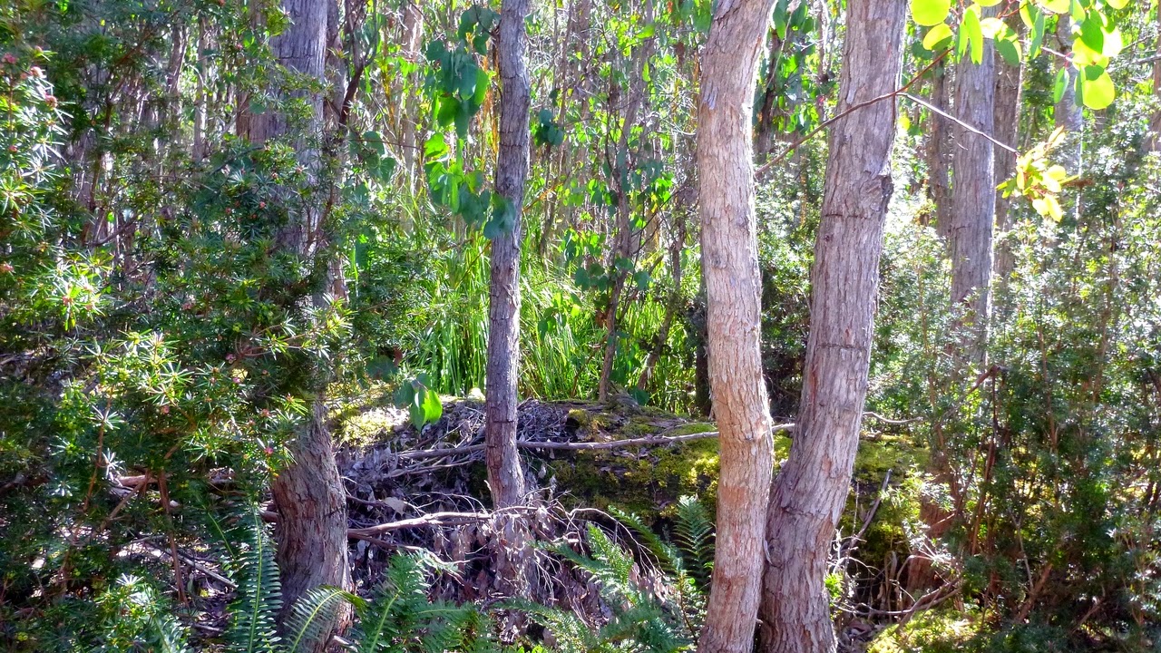
| Gums coming back from previous bushfire. |
 |
| Something got our attention. UFO? Thylacine? |
 |
| Fire fighting water storage. We're easily distracted. |
|
 |
| Largest animal I saw. Looks tasty. |
 |
| They keep trying, but I'll catch up. |
 |
| No, I don't have wipers on my glasses, it's the reflection of the pole the camera is mounted on. |
 |
| Putting things into perspective. |
 |
| There was some discussion about which mountain this is. You'll notice I've not named it. |
 |
| As you can see, it's quite an easy walk. |
We came to a point in the track where we decided to have lunch as some people needed to get back for commitments in the later afternoon. At this point the track bore right, while in front of us was obviously another track that had been blocked with logs along its length to encourage regeneration. The problem was a sign there that said this was the Dead End Track. Not an old sign, but to me it appeared to have been trimmed badly and possibly the point of an arrow had been cut off leaving just a line.
Bob left us to explore the blocked off track, but returned to say it just continued on out of sight. A job for Google.
 |
| Mystery sign. |
 |
| Lunch spot |
 |
| Bob off to explore |
 |
| We could go this way. I'll wait here if you want. |
 |
| Gaultheria hispida or Snow Berry |
After lunch we returned along the Ringwood Track, but after reaching the original gate we continued down to find another very steep track with exciting loose stones that led us back to the cars.
 |
| Signs of the old timber getters. Notice the spring board slot. |
 |
| Yellow Cliffs again. |
 |
| Starting down on steep, loose surface. |
A good walk with very pleasant walking on the top.
We had 10 walkers and covered 11.81km in 3.59 hours.
Click here to download GPX file


