Today we're parking at the Cricket Pavilion in Margate to walk up Harts Hill. From there we walk down to find our way around the coastline via the Dave Burrows walk to Dru Point and back to our cars. I'm leading a group of nervous walkers.
 |
| Margate Oval |
 |
| Harts Hill |
We walk past the Men's Shed, down to the start of the Margate Tramway Track.
 |
| Looking south |
The track takes us past two noisy Labrador Retrievers who are disappointed Bob isn't with us. Reaching the bottom of Englefield Drive, we turn off to head to Frost Road.
On the way we pass some white cockatoos busy tearing up someone's grass.
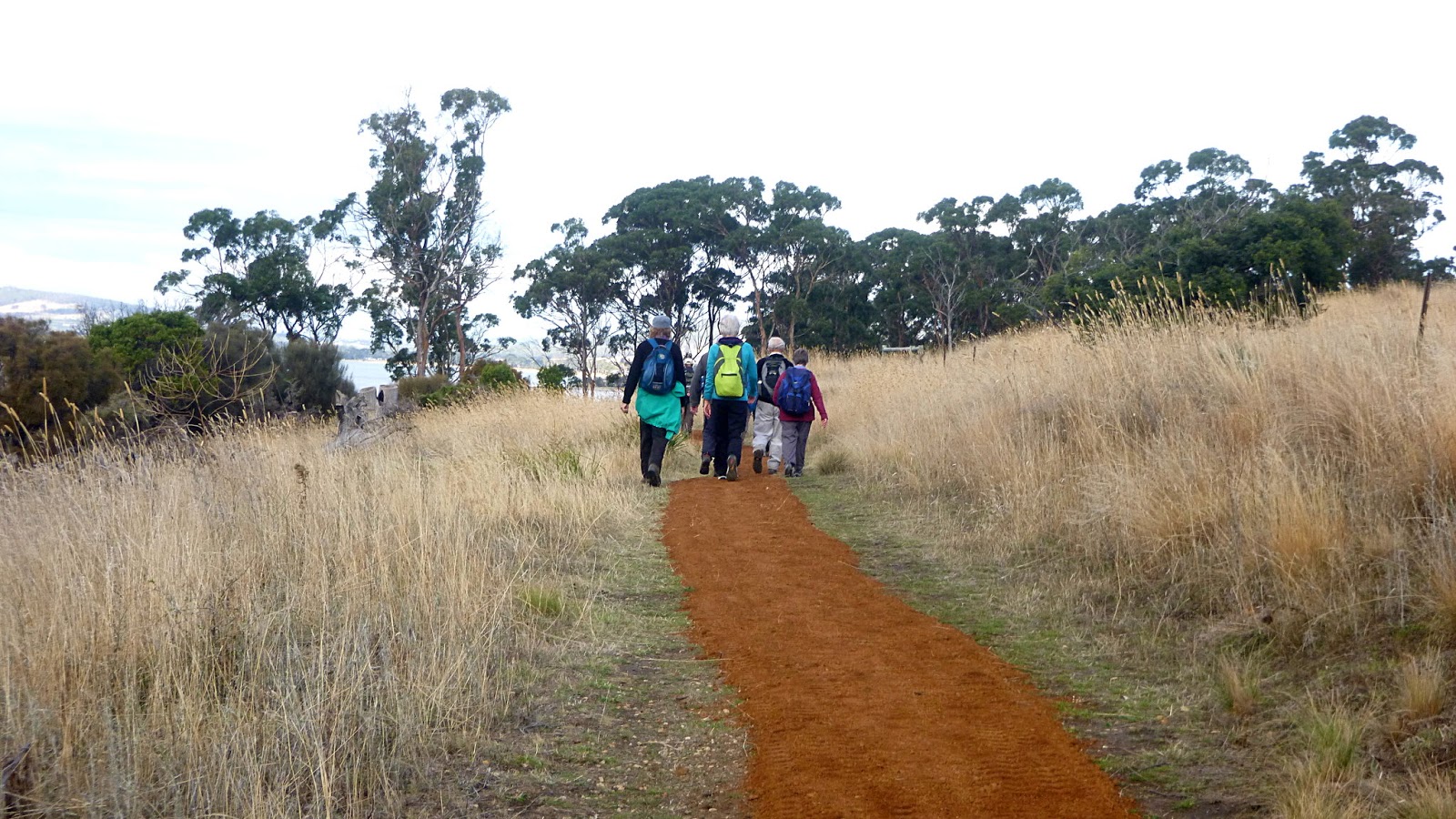
It's a short walk as we remember to take the right hand fork which is Hickmans Road, leading us to the start of the Harts Hill Track.
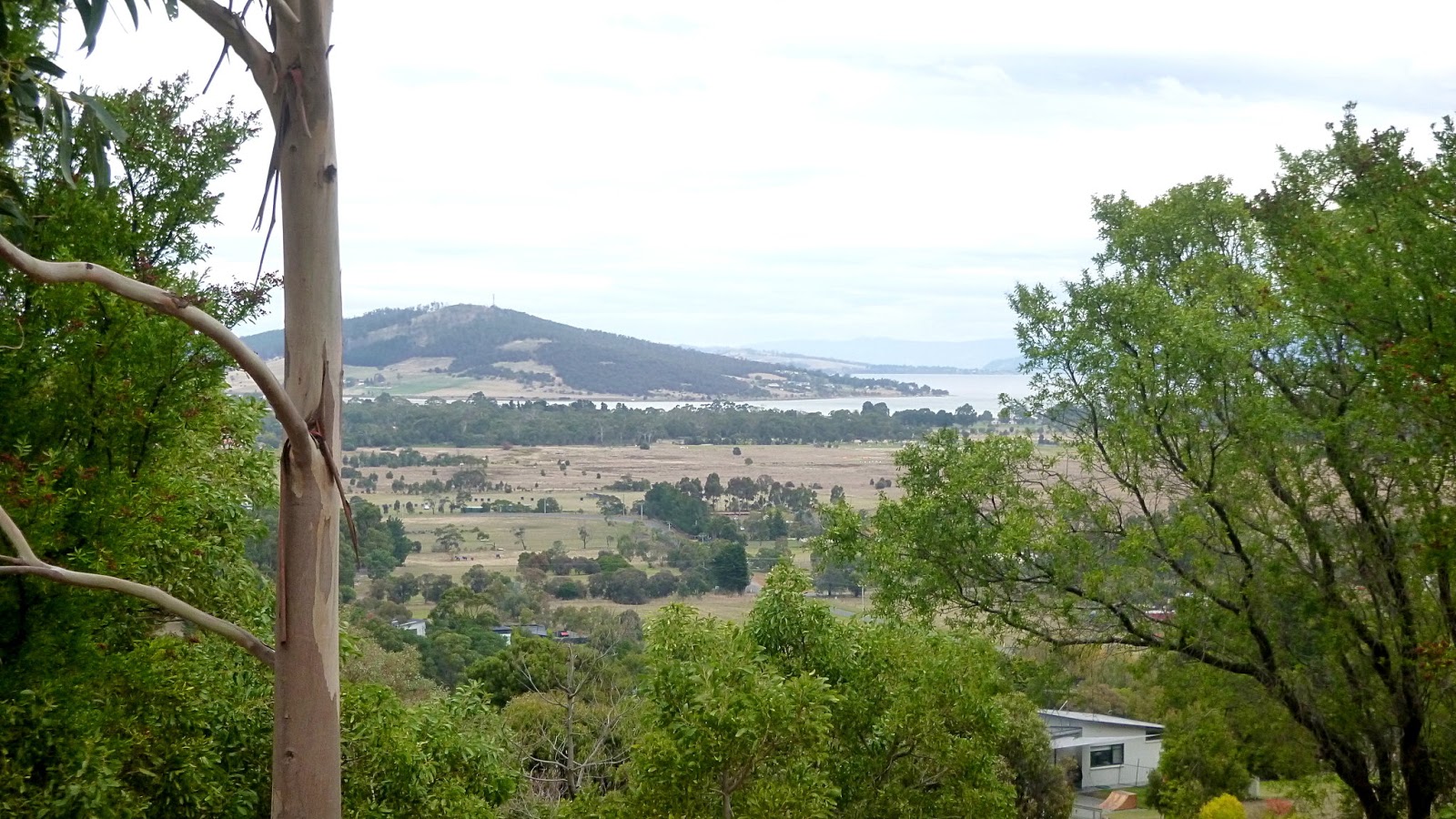
This will be our little heart-starter for the day as we climb to the top which is a breathtaking 145 metres. There is a trig marker and bench for those who require it.
The views are great.
 |
| Hickmans Road |
 |
| Start of Harts Hill Track |
 |
| North |
 |
| East over North West Bay |
 |
| Mt. Wellington |
 |
| West |
 |
| Admiring the 360˚ views |
It's overcast at the moment, but we're promised some sunshine later on.
We've finished admiring the views and start down, passing some properties and locals on the way. The beginning is fairly steep and there are some holes hidden in the grass, so care is required.
 |
| Heading down |
There are some colourful shrubs planted beside the fence. I've identified the Hakea, but not the second shrub.
 |
| Pincushion Hakea (Hakea laurina) |
The plant below I haven't identified.
 |
| Not very attractive |
 |
| The end result |
 |
| Renate taking her own photos |
I mentioned we met a local, actually it was three. Two bovines and one rather well fed horse.
 |
| "Ah! Someone with a camera." |
 |
| "This is my best side" |
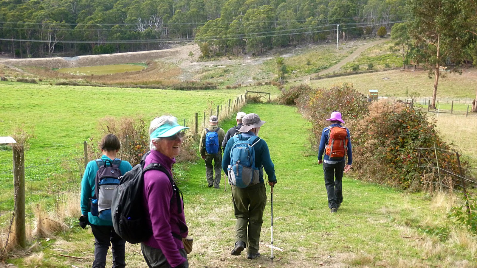
On we go, heading for the bushland at Baretta and Morning Tea.
 |
| This is new from the last time we were here |
 |
| A very knobbly tree |
 |
| It's all open, young bush |
We find a spot with enough stumps to make everyone comfortable and settle down for our break. Afterwards, I take the group off track, hopefully heading for the Channel Highway where we'll cross.
Despite comments from behind, I find the exit and we cross the road, walking up to the start of the Dave Burrows Walk. Dave Burrows was a local orchardist who first created a route along the foreshore.
 |
| At one point we catch a view of Harts Hill |
On we go, and we can see that the Derwent Avenue Group, along with Kingborough Council have been working on the track.
We also pass some bush tucker lying on the track, but no one was interested. Funny that.
 |
| Tasty looking, but unwanted grub |
We come to Tramway Creek which is named for the old tramway that used to run from the coal mine at Kaoota down to a jetty for loading onto ships.
 |
| New looking boardwalk over Tramway Creek |
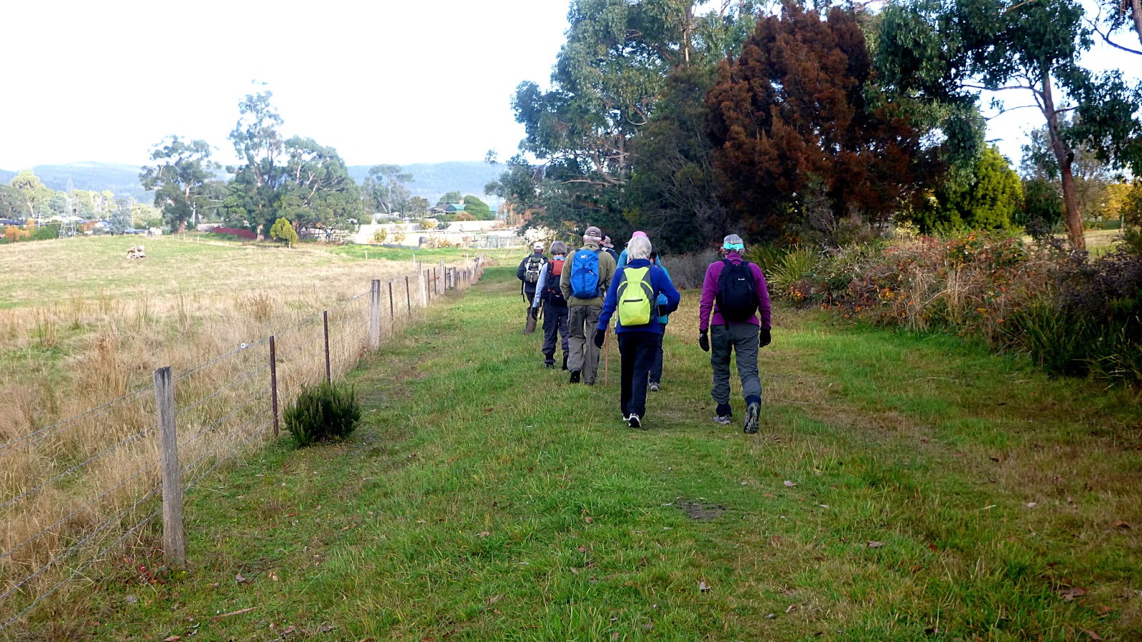
The end of the track is at Gemalla Road where we head left towards Bundalla Road which we take.
 |
| Bundalla Road |
It's a short walk to another track that takes us back to the coast. We're on the Bundalla Walking Track now.
 |
| On the way, we pass these galahs feeding in a field |
We reach the park at Dru Point where much construction work is taking place at the entrance. A gentleman with a stop sign directs us up and along the fence.
Making our way into the park we start looking for a convenient lunch spot with room for all.
 |
| Passing the playground, looking for its mates... |
 |
| ...who are up by the road |
We soon find a couple of picnic tables and immediately divide ourselves into two groups.
 |
| Males here |
 |
| Females there |
I float back and forth between male and female. Does that sound right?
Lunch finished, we continue on. We are walking around Dru Point Track now. There are many black swans and pelicans living in this shallow marshy area.
 |
| Group of pelicans off shore |
We pass the Channel Christian School, heading for Beach Road. We'll make our way back to the cars from there.
The weather was good and the sun did indeed come out. It's a pleasant walk.
We had 10 walkers and covered just over 10km in 3.5hrs.
Click here to download GPX file