Today we're walking to Tom Thumb, behind Mt. Wellington. We were going to do it a week ago but decided it would be too hot, so we did Bluff River Gorge instead.
Well, the weather forecast is much the same with 31C for Hobart and 20C on the top of the mountain, so we went for it.
Fantastic weather as you will see. This isn't a long walk, but is interesting. I've been up Tom Thumb several times over the years, once on my own, but it's been five years and I can't get over how much the track has overgrown.
We park at the larger parking lot overlooking Hobart and set off on a downhill walk on Pinnacle Road to the start of the track. We'll be making a diversion along the way to take a look at the Scout Hut.
I've made a decision that I will not show hut locations on my blog, so I will remove them from my track maps. Anyone that wants to see where we really went can approach me with the appropriate fee and I will happily show them where they went.....
Distances and times I quote at the end of the blog are the actual figures, the graphs and maps are of the modified track.
Off we go!
 |
| River Derwent, Tasman Bridge and ship heading upstream |
Good start to the day, the ship missed the bridge.
 |
| There's a lot of rock up here |
 |
| Heading down to the start of the Big Bend track |
 |
Tasmanian Waratah,
Telopea Truncata |
 |
| Orchid. Bob missed it |
 |
| Big Bend Trail |
You can see what sort of day it is by the colour of the sky. Not a cloud in sight.
On we go. In a while we turn off towards the Scout Hut.
 |
| Mt. Wellington with the transmission towers |
 |
| Track to the Scout hut |
 |
| Getting there involves some scrambling over large rocks |
 |
| Looking south west. Look carefully at the distant ridge line and you can see snow in spots. That's far from here |
 |
| Some prefer to enjoy the view and will wait for the rest of us to return |
 |
| The Scout Hut. You can only reach it by climbing down large rocks |
CLICK HERE for an interesting history of the hut.
 |
| The interior |
 |
| Scouting's changed since I belonged. Is there a merit badge for that? |
 |
| Upper sleeping level. That's the black stove pipe running through all those burlap bags lining the room |
 |
| Stove on left, utensils on right |
CLICK HERE to have a look at the entry in the Hiking in South East Tasmania Blog and see what the interior looked like in 2014. Now that's what it should look like.
 |
| Outdoor shower |
 |
| The way back |
We make our way back to the rest of the group and return to the main trail.
 |
| The rest of the group enjoying the view |
 |
| Look carefully |
 |
| Every thing is in flower |
 |
| On the trail again |
 |
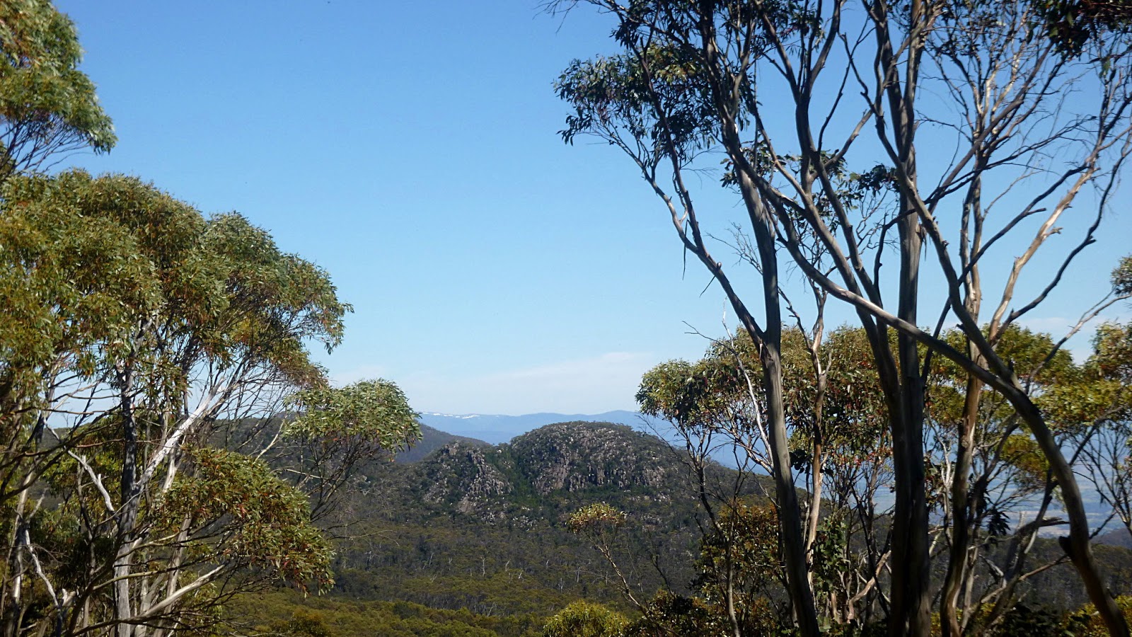
| Our destination in the distance |
It's warm, but not too bad and it's a pleasant walk, until you remember you have to walk back up.
 |
| Morning Tea |
 |
| Hardy native growing in the middle of the track |
 |
| Tom Thumb |
We explore a short side track before continuing on to the small quarry where the track to the top starts. It's very overgrown compared to the last time we were here.
 |
| Starting up |
 |
| Still smiling |
It's not difficult, but there are a lot of large rocks to climb over.
 |
| Getting closer |
 |
| Looking at the back of Mt. Wellington |
The final scramble to the top is actually quite easy and well worth it.
 |
| On top. I had lunch at this spot in years past |
I'm taking photos and the others have moved off, but I can still hear them.
I follow the sound and find them settling for lunch at a spot with some reasonable views.
 |
| The views above are enough to make anyone having lunch... |
 |
| ...serious |
 |
| Collinsvale |
 |
| Down town Collinsvale |
Lunch finished, we start back the way we came. It's actually easier climbing down and it doesn't take us long.
 |
| Going down |
 |
| Track! what track? |
 |
| Head count at the bottom is close enough, so we start back |
It's hot and we'll have a steady climb in a little while so we take it easy with regular breaks for water.
 |
| Going up |
 |
| Looks like someone in another group had a dummy spit! |
 |
| Climb over, down to Pinnacle Road and back to the cars |
We had 11 walkers and covered 8.27km in 4:29hrs. As I said at the start this is different from published data because I deleted the information re the route to the Scout Hut.
Using the formula that for every 100 metres climbed you can add a kilometre, you can add another 8.46km and make it 16.73km, if that makes you feel better.
It's a short walk and can be made longer, but on a warm day like today I found it very enjoyable and thanks to Bob for leading us.
Click here to download GPX file