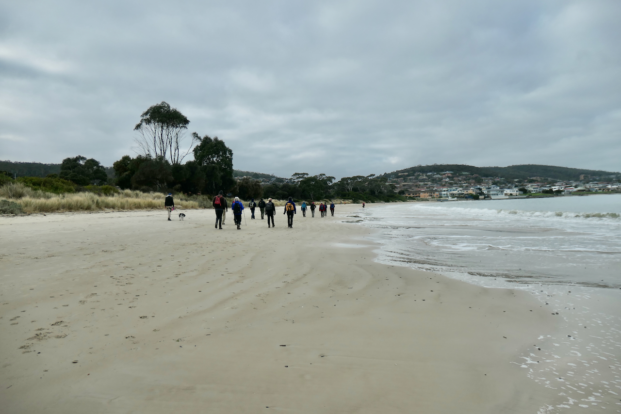
The group has undertaken this walk a few times the last being in 2019 and we always explore a little further each time and this will be no different.
While the initial weather forecast included the possibility of rain none came.
We park the cars in an old quarry site on Back Road before commencing the initial steep ascent up Handsome Caves Road.

After passing the basset hound kennels when you start on Handsome Cave Road we had a full inspection flock of various chicken breeds waiting for us but they ran away as I produced the camera.

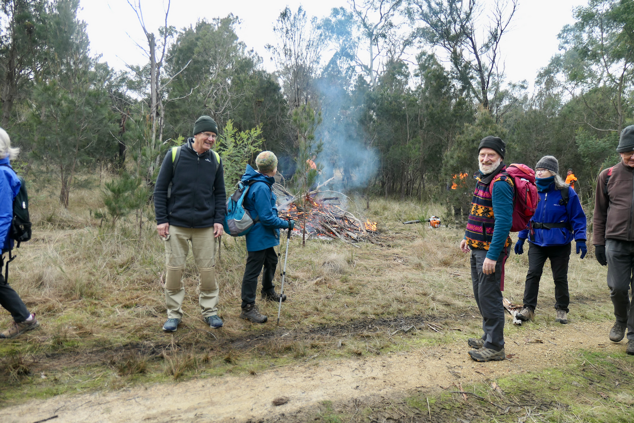
There were smiles from some of the group when we started the climb before the track deteriorated into muddy clay no doubt adversely affected by the recent rains.

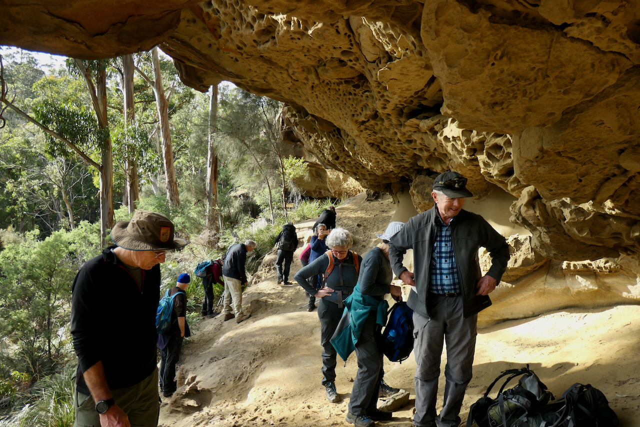
Our first sight of the cave cliffs was made where the track levels of for a short distance prior to entry in the Mount Dromedary Forest Reserve.

The track through this area is actually bordered by private land nearly to where you cross the creek and climb the last hill to the base of the caves.

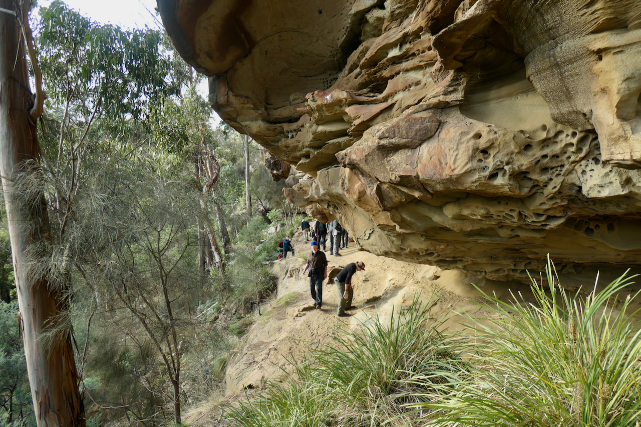
There was lot of discussion between the group about who, how, why and when the formed road/track was built up to the caves and beyond. There are a number of sites that have snippets of information about the area such as Mart Cash the bushranger used the area to hid from the authourities but nothing about the track construction.
The area is also seen as a climbing area with a number of defined and graded climbs on the cliff face.


As can be seen here this retaining wall has been well constructed.

The first close up look towards the caves from the track.

There is plenty of room under the overhanging sandstone cliffs for a fairly large group to spread out depositing their packs so they can explore along the length of the caves.
Looking out across the valley we have walked up.


There were a few theories thrown about as to how these beehive like formations came into being. An investigation seems to indicate that the formations are called Tafoni and it occurs in sandstone and granite rock formations which appears to be as a result of weathering over a long time.
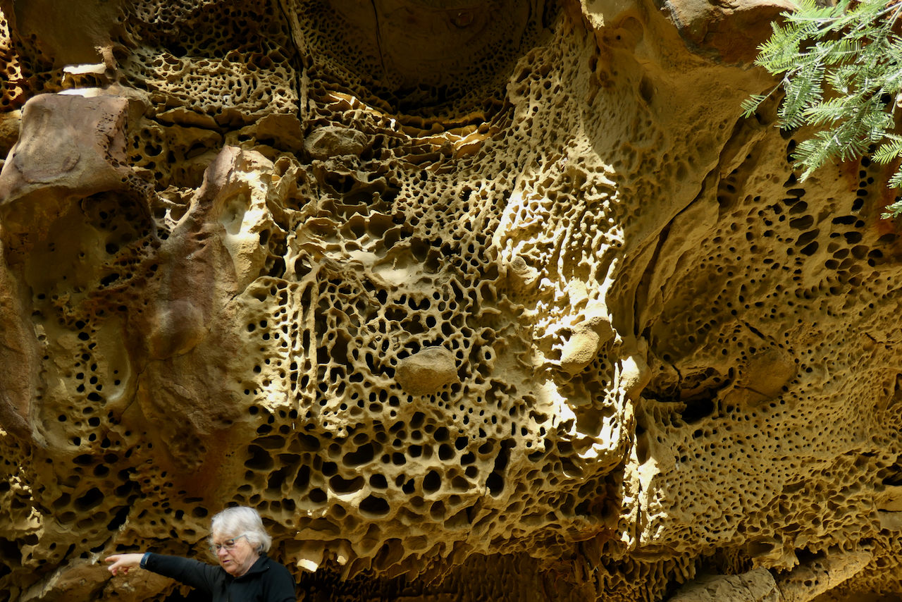


Sally provided the perspective to give an indication of the height of the caves.

Maybe this was caused by an ancient child leaving their bucket in the sandstone??


Inside this small hole there looks to be the makings of a nest. There were comments about various birds including swallows and Striated Pardalotes using the holes as nesting sites and on a previous trip here we experienced birds flying in and out.


This is a bridge across two formations on the top of the cliff that some thought might be a challenge to cross.

We are leaving the caves and heading further up the hill to gain a view from the top of the cliffs.

The formal construction of the road and its retaining walls continues on.


A view from the cliff top.


Snow on Mt Field from the lunch site.
Starting the return journey.


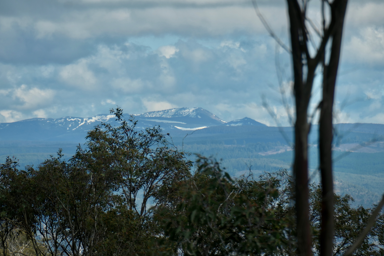
Another view of Mt Field National Park with snow on the Rodway Range.

Walking down the last part of the track to the carpark.


We had 13 walkers who covered 8.5kms in 4 hours and climbed 450 metres.
The group thoroughly enjoyed this walk and it was interesting to note that more than half of the group had not been here before.