Thursday 24 December 2015

Mt. Wellington - Junction Cabin and Beyond 2015

Today is our final walk of the year. It's a beautiful day and we're walking from the Springs to Junction Cabin and beyond.

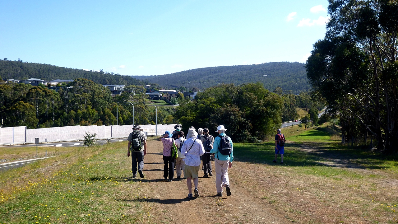
After parking at the upper car park at the Springs, we take off down to the shelter area to pick up the North South Track.


Good view of Wellington from here


Adding a few chemicals will fix that


Mt. Wellington & T.V. tower


It's a pleasant walk and there appears to be no one else about. This is a shared use track between walkers and mountain bikers.


There are some interesting markers on either side of some of the mountain bike features (jumps, bridges etc.) I have no idea what they mean and information doesn't appear readily in an internet search, so I'll provide my own interpretation.

When meeting mountain bikers, walkers may insert words of their choice before the exclamation mark

Square wheel bikes only
 We continue on towards Junction Cabin which we reach for Morning Tea.


Good view of the Organ Pipes


Unexpected running water, otherwise it was very dry


Morning Tea at Junction Cabin
Sue remarked they see few photos of myself on these walks. There didn't seem to be a note of relief in her voice, so I include the selfie below.

My "What's beyond the next hill?" look
Tea finished, we continue onto a bike track just past the cabin.

We follow this until we come to New Town Falls which is dry. Just past the falls, we turn right onto a new track.

You're smiling now, just wait


There's a good bit of colour in the bush


Looking downstream

Crossing over. No wet feet today


Lots of young growth off track

Rare open view


We continue on this track , but it's different then I remember. We pass a marker saying it's heading for the Glenorchy Bike park and soon we come to a stop. Tas pulls out his map and history is made.

Tas is holding the map and Bob is studying it. In historical terms, this is only the second photo I have of Bob using a map

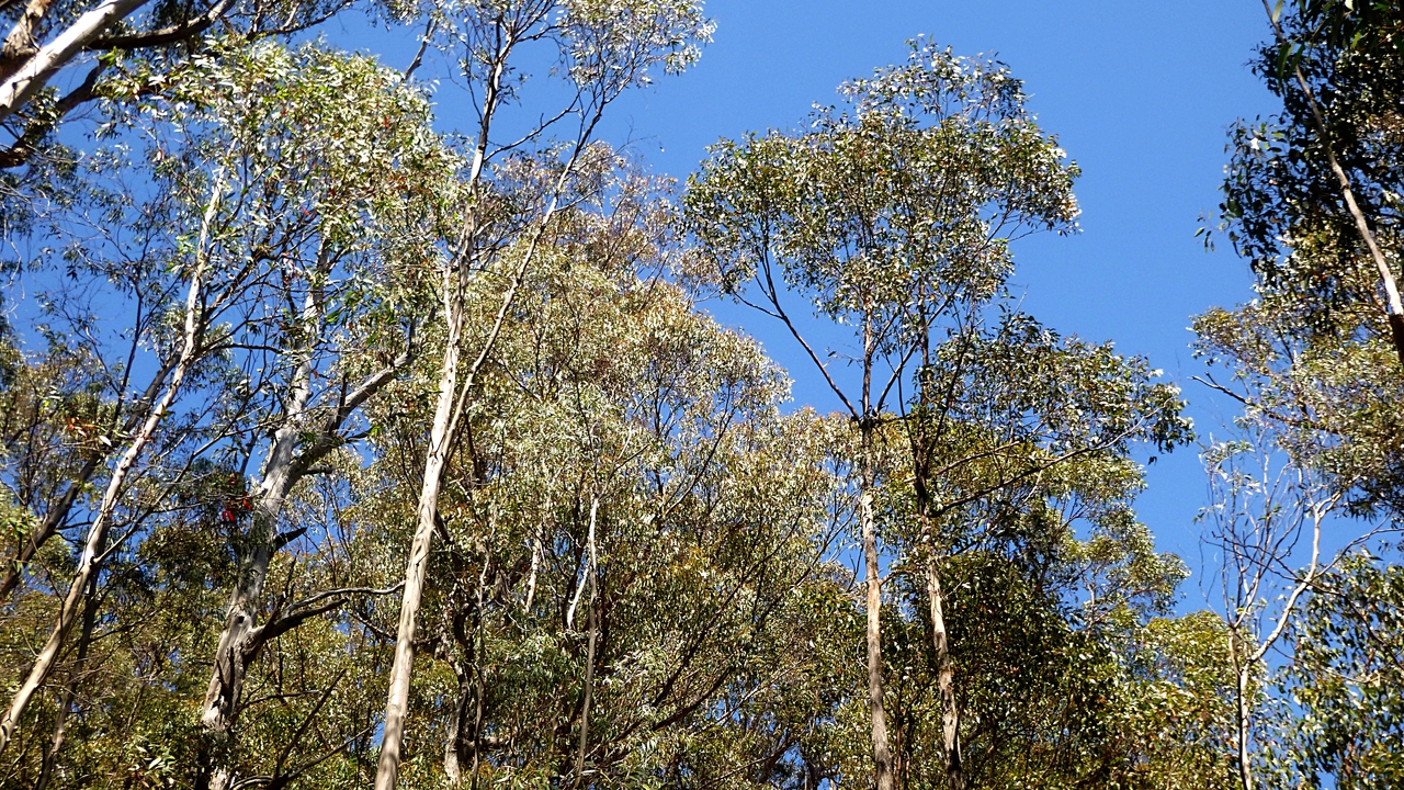
I just took this because the sky was so blue

Looks like we're going back this way
It's decided that we won't continue on this track which appears to be new, at least to us. Bob was looking for an uphill left hand branch and the only thing we can see is a downhill right hand branch. Never mind, Bob has undertaken to explore this area when he gets a chance, so we start back.

We come back to where the track meets a fire trail (there was a council truck here when we passed before) and decide what to do.


It's getting onto lunch time so we begin to look around for a suitable spot.

Perfect size log (I had my own private log, above the masses)
Meal complete, we continue back to Junction Cabin. On the way a mountain biker comes up behind us so we move over to let him by which gets us a cheery hello.

Not too long after I spot a rider coming towards us,  heading for Glenorchy. Again greetings were passed as we moved out of the way.

Soon we spot a group of three - man, woman and young boy- also heading towards Glenorchy.

We move aside and pass greetings, but the only one to respond - and that was with surprise- was the boy. His stony faced licra attired parents ignored us completely.

That may rate a walking stick in the spokes next time!

We catch up with the first rider back at Junction Cabin where he's on his phone.

An echidna trying to hide just off track

Map at Junction Cabin


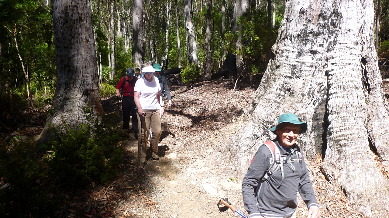
Now we take the Lenah Valley Track which is walking only.

It's a good track and at one point I stop to take a photo of a very tall, straight gum.

As I line up my shot, several of my walking 'friends' offer to take care of my gear while I climb the tree. I was tempted to take up the challenge, but I've lived in Australia for a long time and didn't come down in the last shower.

I know that Aussies, particularly those of a certain age, get very upset with at least two types of people.

Whinging people of particular ancestry and showoff Yanks.

Being aware of this, I declined their kind offer and stayed on the ground.

Unclimbed - by me


Lots of red berries


Good long view with a touch of haze

Looking east

There was some discussion about the identity of this plant


Tas emailed to say it was Christmas Bush or Mountain Lilac. Prostanthera lasianthos. Very pretty.

On we go, now passing families with children and dogs until we reach Pinnacle Rd., turning left down to the entrance of the parking area.

It wasn't a difficult walk, but a very nice one in the weather provided. Anyway, it's only a couple days 'til Christmas so everyone has things to do.

There is a bit of a problem with the total length, due to the unstable GPS signals because of trees, valleys etc.

My phone app says 15.62km in 4:34hrs. My GPS tracker says 13.29km in 4:37hrs. My Fitbit shows just over 14km which I think is just about right.

Click here to download GPX file

*********

I was requested to calculate the total distance we've walked in 2015 and here it is.

TOTAL DISTANCE WALKED IN 2015 IS 396.19 km or 246.18 miles in the old money. It took us a total of 153.5 hrs. This works out to about 2.58km/hr average. Looks like someone is dragging their feet!

*********


Thursday 17 December 2015

Morning Walk to Gordons 2015


Today is a short walk as we're invited for Morning Tea at Marie & Gordon's house.

That being so, we start at the carpark in Denison St. and immediately Tas has led us onto new, untried tracks! The first one was too short to get my camera out, but the next was longer and took us between and around houses.

A good turnout. Free food does that

The second new track

Nice day on Mt. Wellington


This was unexpected


Safely crossing the road, we continue down to the underpass that leads to the Whitewater Creek Track. We're walking counter-clockwise around the track on the map below.


We follow this to Summerleas Rd., cross over and continue on.

Fellow flock


I'm pretty sure this isn't the authorized way...

But there's a good view on top
 At least there's a good view now. Evidently this is the area scheduled for 200 houses. That'll get rid of that pesky green stuff!
That's more like it
After climbing the bank, we follow what was the 'Road to Nowhere' to the Channel Hwy opposite the new Bunnings building site.

We cross here, taking our lives in our hands, and continue south past the Antarctic Division to start on the Coffee Creek Track and enter the Peter Murrell Reserve.

We follow various tracks until we come to Algona Rd. which we cross (We're getting good at dodging cars) and take the track on the north side to the east.

 At this point Tas has turned over leadership to Bob and entrusted him to guide us to the food, that is, Gordon's house.

We're on some of the tracks we followed the other week which causes some consternation, especially when it appears Bob is leading us uphill when it appears we could go down.

Bob's comment "You'll go this way if you want to get there" does the trick and we all fall into line.


I noticed a small group ahead, staring at something on the path. It turned out to be this beauty.

I don't know what this is, he's not in my phone app


Mystery conference


We saw this rock a couple of weeks ago
People say it resembles a whale with its mouth open. It looks more like the head of a tortoise to me.

Finally, we arrive at our destination and are greeted by Gordon.

Gordon's vegie garden. Very nice

Gordon's dog made straight for Bob

It's difficult to believe she's 16y.o.

Only part of the spread they prepared for us

There were a number of these botanical paintings on the walls, all  done by Marie

Looks like Gordon is giving the "Sit! Stay!" to someone
Having consumed all the food, it was time to leave. At this point some of our walkers who live on this side of the hill made their own way home. The rest still had hills to climb before we could return to our cars.

Great view from up here

I don't think I've been up here before


But the other tracks are familiar. What a lovely climb.

On the way back, Tas stops to reconfigure a snail that appears to be heading for his garden.

It was a good day (except for the snail) and many thanks to Marie and Gordon for feeding us. This may set a precedent.

We had 12 walkers and covered 11.45km in 3:42hrs

Click here to download GPX file