In a change for our normal programme of walks we asked Neil Davidson if he would be like to walk with us and provide information about this area as he had conducted his PhD research in the area commencing in 1981.
We started off with Neil briefing us on where we would be going and in particular the geology of Snug Tiers and the effect it had on the type of trees and environment where those trees grow.
Click on this link to download Neil's notes.


Heading off down the track Neil has been travelling for the last 40 years to attend to his 6 research sites.


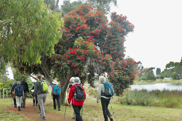
Just prior to leaving the track to enter the forest.

Initially we followed and old bulldozer track that took us to an old sawmill site.

We emerged from the forest onto a button grass plain to a view of the mountains behind Mt Wellington.

And there is Mt Wellington in the distance.

An ideal morning tea stop.

Back into the forest and after this session there were mutterings about not having to go to the gym for at least another week.

We are now out of the forest that was surrounding a large area of button grass plains with a couple of deep depressions in the landscape.

Looking back to the forested hill showing the smaller trees that grow around the edge of the depression.
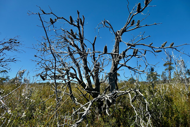
The dead tree trunks are the remaining trees that were burnt during the catastrophic fires in southern Tasmania in February 1967.


A banksia that was burnt during another fire in 1998.
The button grass plain had a number of different flowers in bloom.


Including the button grass itself.

We have arrived at the second of Neil's experimental sites. The first was located in the middle of the forest and difficult to photograph.

These plots were planted out with seedlings of 6 different eucalyptus species of a total of 18 species present in the Reserve.
Each plot was selected in areas of natural stands of each of the 6 species.
As can be seen in this photo the actual species E. Gunnii was the only long term survivor in this plot which is its natural environment and demonstrates that it is extremely slow growing.


This is the third plot that we visited and again it demonstrates that the natural occupant of this particular area E.pulchella was the only survivors of those planted.

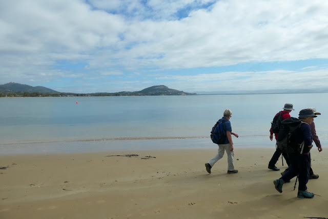
We then returned via an old track back to the cars.


This track has be subject to a fair bit of traffic in the past but is now very overgrown and presented some excitement for the walkers to experience.


Sally and Neil clambering out through the cutting grass after following a deviation that did not include nearly knee deep mud.


Click on link to download GPX file
We had 12 walkers today who managed to walk only 6.2 km over four hours and at the end all had enjoyed the experience especially Neil's enthusiasm for his project.
I must make a comment about using GPS recording of distance and phone pedometer's measuring steps. I believe that the GPS reading is the more accurate but when compared to my phone today it was only half the distance according to my steps taken.
My interpretation of the data is that we had actually done the steps for 11.4km but instead of our normal tracks the steps today were significantly shorter due in large part to the under and over nature of the forest and travelling across the buttongrass.
I know when I got home I felt like I had walked 10+ km but like everyone else I thoroughly enjoyed the day.
A big thank you to Neil.