Today Peter is taking us from Sabre Place to Goat Bluff on the eastern shore of the River Derwent and return.
We park at the top of Sabre Place just off Gellibrand Drive above Ralphs Bay.
 |
Plenty of parking at the top
|
 |
We're greeted by a pair of noisy locals
|
 |
Heading down towards Ralphs Bay
|
 |
The weather has been very wet for the past few days
|
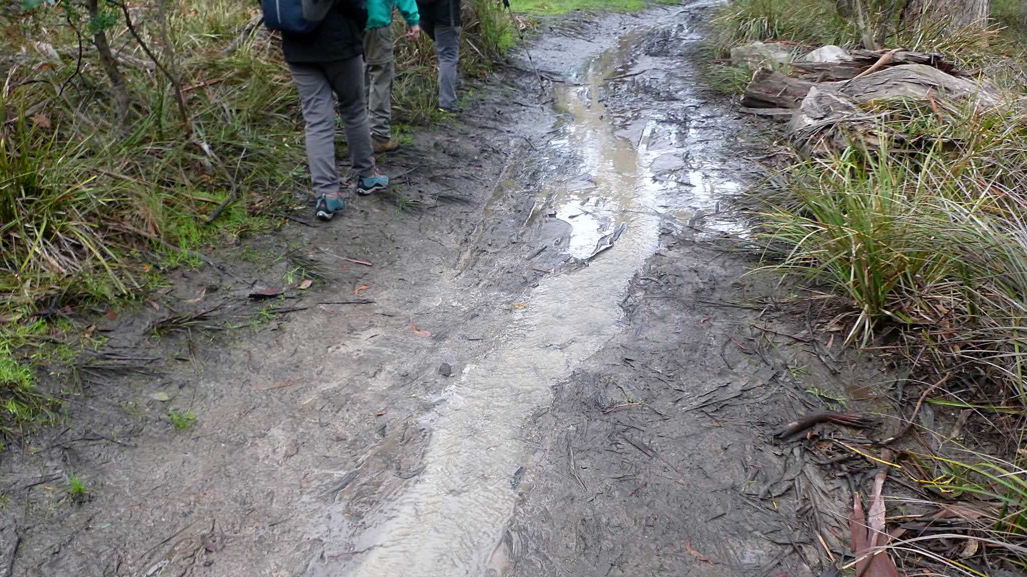
Today, however, it's just overcast and very muddy. We've turned off onto a track that runs parallel to the shoreline.
 |
Told you it was muddy
|
 |
We're passing between private properties on our left and the shoreline on our right
|
 |
We're going to head down to that unnamed beach for Morning Tea
|
 |
Mount Wellington is somewhere behind that cloud
|
I don't think it's particularly cold today as we reach our break spot. It helps that it's not windy as we setup for Morning Tea.
 |
We'll have Morning Tea here
|
 |
Just needs a touch of paint
|
 |
A couple of likely dens for local wildlife
|
 |
Break over, we make our way around to the beach we saw from above earlier
|
We continue along the foreshore until we turnoff onto South Arm Road for a short walk to pick up another track that will lead us to Goat Bluff.
 |
I first thought this was an embedded, rusted iron strip, but it's a form of secondary sedimentation in the base rock
|
 |
It's not too far before we turn off onto another wet track
|
 |
Told you it was wet!
|
This track leads us through the bush to the Goat Bluff lookout. You can also drive there.
 |
View from Goat Bluff lookout. You can see Black Jack Rocks with Betsy Island behind
|
We make our way along the track and down the steps to the end of Hope Beach where we have lunch.
 |
Top end of Hope Beach
|
 |
Lunch spot. We've come down that track above
|
As we reached the beach Bob set off to see if there was another way back. There wasn't, but someone left this message for Bob on the beach.
 |
A couple of photos of Black Jack Rocks and the navigation light.
|
Back in 1994, William Edward Burton took this photo of Incat Condor II parked during its sea trials.
Lunch finished, we walk back up to the lookout and down the other side to Calverts Beach.
 |
Calverts Beach looking back at Goat Bluff
|
After a while we turn inland into the South Arm State Recreation Area. This unnamed road leads us to Calverts Lagoon.
 |
Calverts Lagoon
|
We make our way around the Lagoon to a point where the track crosses South Arm Road, leading around properties and up hill to finally reach Gellibrand Drive.
 |
Perhaps this is suitable transport for that boat we saw at Morning Tea
|
Reaching Gellibrand Drive we turn right for a short walk back to the cars.
We had 15 walkers and covered 11.34km in 4 hrs. Not a bad day for a walk, overcast but only had a couple drops of rain while at Goat Bluff.
Click here to download GPX file