Wednesday 27 April 2022

Oakdowns Rokeby - 26 Apr 2022

 The walk today starts at St Matthews Church, Rokeby and passes through the streets of the suburb of Oakdowns until we climb the hills behind the suburb.

We last visited this area in 2016.

The day is fine except for quite an amount of smoke haze. 

Starting the walk through the suburb.


After arriving at our entry point to the hills behind the suburb we found that TasWater had fenced off the entry so we went in search of another access.

Which we found with the assistance of one of the local residents who allowed us access behind her property where we had our morning tea stop.

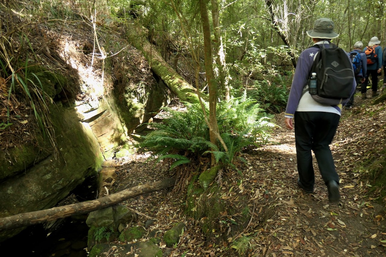
Climbing up behind the house we located the way we had previously walked and commenced the climb up the hill.


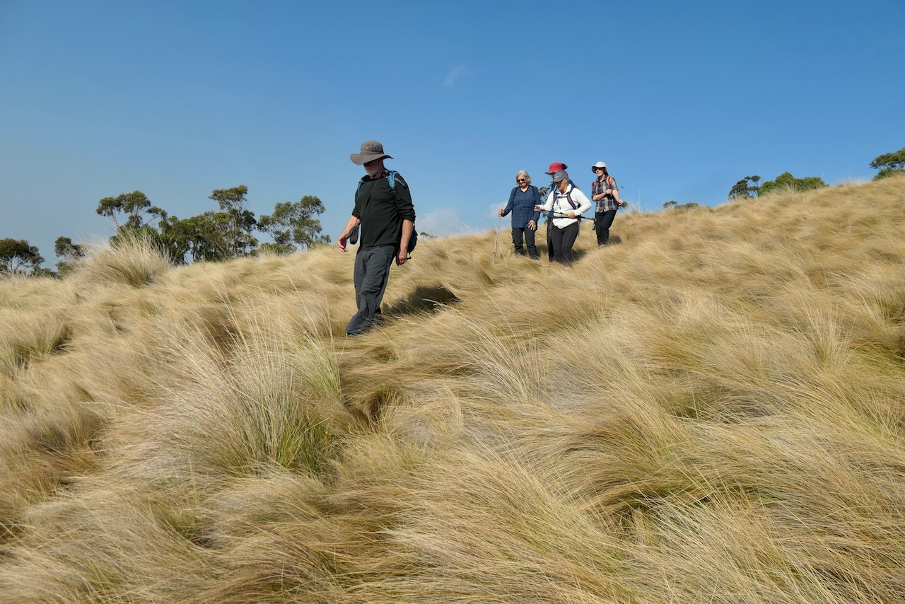
Continuing with the climb.

We came across this walled construction with a table and an Altar???? overlooking the suburbs below.

Nearly there.

We can always find someone in the group who will take advantage of any rope swings we come across. This swing was here last time.

After leaving the forest we climb last part of the hill on which there is constructed a tower that was not there last time. In fact there are now two towers and number of other smaller sending or receiving gear that the hill should be called Tower Hill instead of Stansfield Hill.

The view from the top is very panoramic.


No he is not ill, just having a lie down in the magnificent poa grass paddock that cover the top of the hill.


This slightly damaged gate is where we turned around on our last trip and did the same this time.

Looking back through the trees to where our cars were left.


We do have some unusual walking styles.

Looking through the trees the house on the end of Lauderdale Beach.

And across the Derwent River to Lower Sandy Bay.


And towards Huxleys Beach.


No-one in the group knew about this centre  which used to be a hotel and is now a community centre for the locals.

St Matthews Church Rokeby where our walk started and finished. Hobart's first minister Reverend Robert Knopwood was buried in the cemetery before the Church was completed in the 1840's. He was the first minister for this area which was originally known as Clarence Plains.

(Thanks to Jack Pindell for his previous photo as I overlooked taking one.)


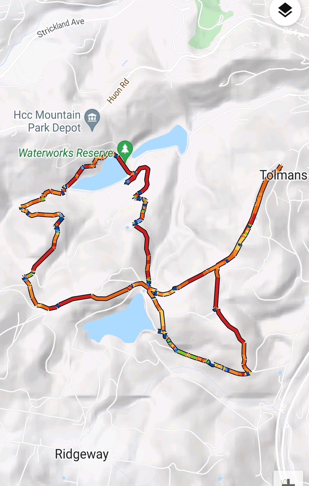
We had 10 walkers today who covered 7kms  and climber a total of 344 meters in 3.5 hours.

This walk has surprising views when you reach the summit.

Wednesday 13 April 2022

Tolmans Hill 11 Apr 2022

  Today's walk is an exploration of the firetrails and walking tracks around Tolmans Hill and the Waterworks Reserve which is less than 6kms from the centre of Hobart.

We parked in Woodridge Place near the start of one of the main fire trails throughout Tolmans Hill.


The start of the first of a number of fire trails.


After an initial look at this sign we walked a little way up R16.

But our Leader Ron had some doubts so there was a bit of checking

and then we followed R15.

This fire trail had been having some work done on it by way of clearing the long grasses and sedge from the middle.  When we got to the end there were a number of HCC workers preparing the landscape for a fuel reduction burn in the near future weather permitting.

Then it went down,

And up.

It was interesting to note that the fungi in this area which is predominantly dry eucalypt forest is nowhere near as colourful as the fungi we saw last week in the rainforest.


Walking down to the Top Reservoir within the Waterworks Reservet o have morning tea.

Our first view of Mount Wellington.


Heading down this road we deviated to look at some interesting very old construction works.

Was it a dam or a rock wall support for piping??


We arrived at the lower Waterworks and had another fine view of Mount Wellington.

While waiting for the others this duck decided that rather than sitting here comfortable on the side of the dam it would investigate who the bunch of people were standing on the dam wall.


And then it left.


Obviously someone considers this little piece of forest is important.

Should this dam overflow the two sandstone walls at the top of the dam allow for a safe overflow passed the main dam wall rather than over the top.

Just past the end of the dam we entered a small creek area with a rainforest surrounding it.


Out of the rainforest and starting the climb to Gentle Annie Falls.

It was good to see a native ant getting the best of an imported European Wasp.

A colourful fungi at last.

A close up of the bark and lichen on the Native Cherry tree.


For a historical comparison to Gentle Annie Fall now and from about 100 years ago is a photo taken by my father Jack Rowell on his Kodak Foldout camera.

The bush has overgrown the site quite a bit.

It would be nice to see that water running through the cutting now.

If you are interested in further information about Gentle Annie here is a link.

https://drive.google.com/file/d/11Xy6-ZwuAE4m8ILoTvgmnVMRvYNLUGN2/view


Under the pavers is the original sandstone channeling.


A local creeping around the rock face.

Lunch on the top of the Falls.

More examples of the workmanship that went into the construction of the pipeline that stretched from North West Bay River to the Waterworks.


Our last view of Mount Wellington.

Nearly there.


We had 10 walkers who covered 9.1kms and climbed 490m in total over 4 hours

on a walk that all enjoyed.


Click on this link to download GPX file