Well, after weeks of bushfires, a dodgey knee, and heavy rain, we finally made it.
We were supposed to do this walk last week, but that's where the heavy rain came in. Today it's cloudy and a bit windy but otherwise a good day for this walk.
This is a walk Carol took us on back in 2017.
We make our way over the Tasman Bridge in Hobart, through Cambridge and turn off towards Lewisham where we park near the boat ramp at the start of the foreshore track.
 |
| Milling around for the start |
We head toward the boat ramp and the start of the track on our left.
 |
| We follow the water's edge for the first part of the walk |
 |
| Just miss wet feet by a couple of inches |
I hope there are no complaints about non-use of the metric system.
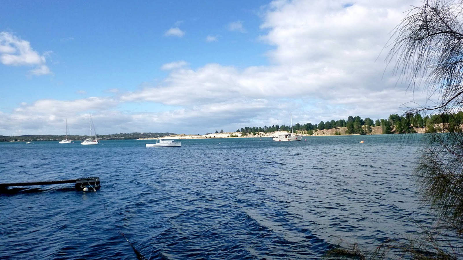
You can see how high the tide is in the next couple of photos.
 |
| That white sand marks the tip of Sandy Point where Seven mile beach and Five mile beach meet |
On our way we pass a few locals fishing.
 |
| Cormorants |
I was going to try and identify these two types of cormorants, but will leave it to our experts.
On we go, starting to look for a place for Morning Tea. It doesn't show in the photos, but there is quite a strong breeze blowing that would make it uncomfortable just to stop anywhere. Plus the high tide makes much of the beach inaccessible.
On the way we encounter an historical marker regarding the ship
Princess Royal which set sail from London in April 1832 with the first 200 free female settlers for Van Diemens Land (Tasmania).
There is a nice website run by the Southern Beaches Historical Society (Tasmania) which tells the story.
CLICK HERE to read a brief story of the ship and it's girls.
If you are interested in exactly who the women were, there is a list published on the web by Mrs. T. McKay of Kingston who has been doing research on the passengers. It's interesting to have a look through even if you wouldn't have had any relatives on board. For a look at the passenger list which includes age and origin,
CLICK HERE
 |
| The ship had a pretty rough arrival |
We continue on reaching a bridge over China Creek, still on the lookout for a Morning Tea spot.
 |
| China Creek |
 |
| China Creek mouth |
It was off here that the
Princess Royal beached.
After a short walk, we find a good spot for our break. Plenty of seating and out of the wind.
 |
| Mount Wellington in the distance |
 |
| Morning Tea |
 |
| Looking back along the shoreline |
 |
| Dodges Ferry in the distance |
Break finished, we continue to a point where we have to turn to the road because of the high tide.
 |
| First Avenue below Dodges Ferry Primary School |
We're in the area where Ralph Dodge started his ferry.
When you get to a certain age, it doesn't take much to grab your attention. A large rock will do it.
 |
| Obviously an interesting rock |
 |
| Some of the houses behind us |
I'm being a bit unfair about the attention grabbing properties of a large rock. It actually is an historical marker and has this sign on it.
 |
| To save your eyes, I reproduce it below |
"RALPH DODGE (1797-1871)
AND HIS FERRY SERVICE (c. 1830-1874)
Born on Norfolk Island and son of William Dodge and Charlotte (Simpson), he was a pioneer landowner before purchasing the nearby property in 1830 to build his home, which is still known as 'Ferry Farm'.
From here he ferried settlers by rowing boat to the opposite Sandy Point - their fastest and cheapest route to Hobart Town.
In August 1832, the English ship, 'Princess Royal' sailed into Frederick Henry Bay in a storm. Ralph sighted her off Whale rock and signaled a timely warning, directing her to this sheltered shore.
A Pioneer mailman, Ralph carried the mail on horseback from Richmond through Carlton to Port Arthur.
Ralph was granted and purchased more land in the district. He was the original owner of 'Lagoon Farm' where the nearby Dodges Ferry School now stands.
Ralph & Charlotte (Morris) Dodge and other pioneers are interred at Carlton River Cemetery. Their descendants and the Historical Society of the Municipality of Sorell dedicate this plaque to their memory.
August 2003"

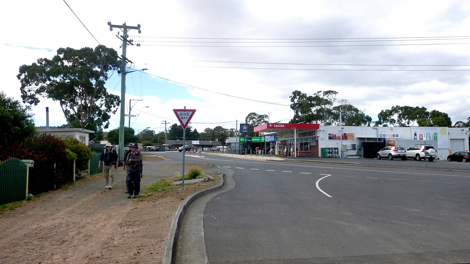
We make our way inland, passing the commercial centre of Dodges Ferry before making our way back towards the water.
 |
| We leave the commercial centre behind as we head towards the water. |
We soon reach Bally Park where facilities are available for anyone with the need.
While Wayne and I wait, Wayne spots an old boat behind the fence around a property at the beach. It appears to be quite long, and by making our way along the fence I can lean around the end and take a photo.
 |
| Needs a bit of work |
 |
| I'd like to see the motor |
Good intentions I suspect. At least it's up off the ground.
Everyone is ready, so we head up our only hill which is dedicated to Bob, who isn't with us today.
 |
| Going up and thinking of Bob missing it |
At the top we make our way between houses, heading to a track that will take us around Tiger Head to Blue Lagoon and Red Ochre Beach.
 |
| Walkway between houses |
 |
| Heading around the point |
We reach Red Ochre Beach which is crowded as usual.
 |
| Red Ochre Beach |
 |
| Some interest was expressed in this house |
Certainly has a nice view.
 |
| Spectacle Island and Little Spectacle Island in the distance |
There is a cutting at this end of the beach which leads back to Bally Park where we have lunch. Afterwards, we start our way back, Wayne leading us along the foreshore as the tide is on it's way out.
 |
| Leaving Bally Park |
 |
| Just above the beach. Some rock hopping in the distance |
 |
| Tide is on it's way out |
 |
| We say a fond farewell to Dodges Ferry |
 |
| We bypass a section that is impassible at the moment before coming back down again |
 |
| It doesn't take much of a tidal drop to expose the sand |
There's a bloke in the distance and he has his dog with him, somewhere.
 |
| Easy walking |
 |
| The mouth of China Creek and the bridge we crossed are off to the right |
 |
| Looking back |
We had 16 walkers and covered 10.63km on 3:02hrs. As you can see from the photo above, it turned out nice again.
Thanks to Wayne and Peter for guiding us on our way.
Click here to download GPX file