Today Bob's taking us on a along the Snug River and beyond, a walk we've done several times before. The last time was 2019 when the walk had to be changed at the last minute when an accident on the Southern Outlet blocked the road and forced the change.
We park down at the beach, gear up and walk down to the rivers mouth, turning left onto the walking track along the river.
 |
| Almost ready to set off |
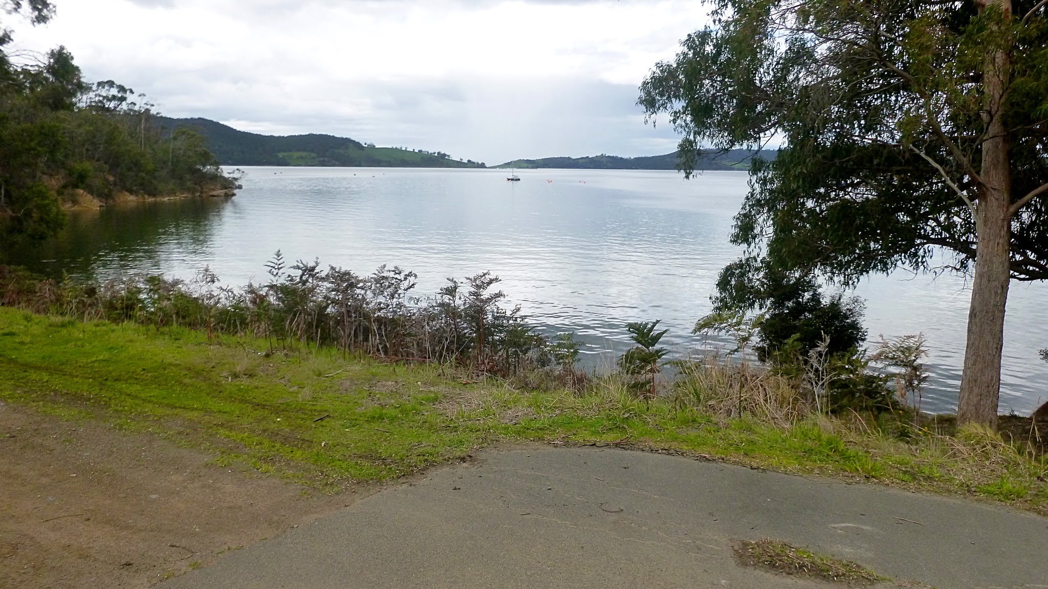
 |
| Walking north to the mouth of the river |
 |
| Snug River |
 |
| There's a pleasant path beside the river |

 |
| We're heading south past the school |
We turned off the path onto Snow Gum Drive which takes us to the Channel Highway where we turn south
Just past the school we turn onto Snug Tiers Road.
 |
| It's Spring |
 |
| Snug Tiers Road |
After passing the cemetery, we keep on for a short while before turning right onto Taranaki Place and walking around to find an entry that takes us back to the track behind the school.
On the way, we pass this van and I was requested to take a photo. I would have done anyway as that sentiment could apply to a number of our world leaders at the moment. G'day to Scotty, Don and Boris.
Politics aside, we turn off heading back to the river.
 |
| Heading back to the river |
We reach the track and turn right, heading back toward the Channel Highway.
I know we actually have to be on the other side of the river and was surprised when Bob ignored this obvious crossing point without a backward glance.
 |
| Obvious but ignored crossing point |
So what if it's a bit narrow and a couple of metres drop.
On we go.

 |
| Well, I'm not going to get any exciting photos from this river crossing |
Safely on the other side we head up river to our left.
It's not long before we have a gear rearrangement stop before picking up the track which isn't as well constructed as the one we started out on.

 |
| Looking back |


 |
| Snug River below |
 |
| Going down |
I mean that quite literally. It was a steep and muddy slope and I shouted out I had my camera out and needed an interesting shot.
No one obliged so I started down myself. It wasn't long before I provided my own incident - not photographed- as I began to slip on a particularly muddy section.
I did land bum first on the mud, but I must say I did it in a very classy fashion.
Not hurt, I continued on.
We're back down by the river now and continue on.
There are several old cleared areas along here and I seem to remember that in the past some church camps were held here but don't hold me to that.

 |
| The water is brown from the tannin in the bush |


 |
| Another clearing |
 |
| Interesting construction |
Let's hope it wasn't done by a building apprentice.
 |
| Exposed rock wall backing the clearing |


 |
| The track is actually quite easy to follow |


It's getting close to Morning Tea time and about here I had a message passed back to walk back and down to the river for our break.
I made my way back onto a rock shelf next to the river which was very pretty here.
 |
| Next to our proposed morning break spot |
 |
Unfortunately, there was not enough seating, so back we go.
 |
| Not Morning Tea |

 |
| No sense at looking at what might have been |
Back we go and start up the track towards a promised better place.
We're on what appears to be an old road, probably for logging.
 |
| Remains of old road |


 |
| We climbing now |
Now, you may not know but Peter has bought himself a new camera and has been taking some great photos. It really stands out when taking macro photos.
As we climb he finds several native orchids beside the track. Now Bob will no doubt be very excited when he reads this, knowing of his love of the orchids.
The beautiful photos below are by Peter.
 |
| Three Horned Bird Orchid |
 |
| Mayfly Orchid |
 |
| Maroonhood Orchid |
I tried to take some of the orchids but they didn't work out so I'm very glad for these great shots by Peter.
We continue climbing until we reach some kind of bush intersection and turn right. This leads us to a pond and our Morning Tea spot.
 |
| Bush intersection. We turn right |
 |
| Morning Tea |
Plenty of seating and it even provided a croaking frog.


 |
| They're waving at me. At least I assume that's the gestures they're making |
I should have taken a closer shot. After tea is finished we continue on, roughly heading back towards Snug.


 |
| Why did I photograph this old fallen tree? |
I noticed something that looked like an animal head, perhaps a calf. What do you think? Val says only I would see it.
 |
| Calf's head? |
 |
| The scenery is opening up |
We're looking at the D'Entrecasteaux Channel and Bruny Island.
We step over a collapsed fence and follow the old road.
 |
| Life wasn't meant to be easy |
 |
| Having negotiated the obstacle we continue on |
We come to an open gate that takes us out onto Jarvis Road.
 |
| Jarvis Road |

We pass a local looking for treats, but not getting any.
 |
| Sorry, no treats |
We make our way down the road to the Channel Highway just on the north side of Snug. Here we pickup the Snug to Margate bike track.
It used to be the old Channel Highway.
 |
| Snug to Margate track |
 |
| Many's the time I drove to work along here |
Apple season was the worst as the crop was being taken to Hobart for shipping usually on the back of an under powered war surplus truck. Passing places were few and far between. This was also before the Southern Outlet.

 |
| I well remember this outcrop |
We usually walk the complete length, but Bob has another suggestion and offers us the choice of going off track here. It's a steep drop but negotiable.
 |
| Bob setting off onto the new route |
 |
| Going up |

 |
| The track leads to the right |
 |
| Snug's back there somewhere |
We find several trees they cut down to make obstacles.
We don't know what they used to cut the trees, but it certainly involved determination and perhaps a tea spoon.
 |
| Perhaps they used a trained pet rat to chew the tree down |

We come to a corridor for the power lines that used to supply the old carbide plant that was here.
The carbide was used to make acetylene gas used for welding and in lamps. I had a miners lamp when I was a kid and you filed it with carbide and the top with water. The water dripped onto the carbide at an adjustable rate and generated acetylene gas which you lit. The light provided was very bright and white.
Coming home at night and passing the old plant in the distance with it's noise and bright flashing from the production furnace was almost medieval.
If you want to see what it looks and sounds like CLICK HERE for a video from a steel plant in NZ. I don't know what if any safety equipment the works had, but I bet it was the bare minimum. We had neighbours on both sides of us who worked at Electrona.
 |
| We move off into the bush |


We follow various tracks that lead us into Peggys Beach.
This development replaced the workers homes that were here.
We're walking down to the Channel now, heading left towards Margate and our lunch spot.

 |
| We follow a formed track beside the water |

 |
| Marina at Baretta |
 |
| Lunch. There are two picnic tables here |

After lunch, we continue on until we turn up Graham Street which takes us back to the Snug-Margate track and we head back towards Snug.
 |
| Lunch finished, we continue on |
We make our way back through the business area that's replaced the old carbide factory.
Along the way someone who shall remain nameless pointed out this sign and said it describes this walk.


 |
| Snug beach in the distance |
 |
| Nice little sandstone shelter |

 |
| The cars are just through the trees |
We had 14 walkers and covered 10.13km in 3:54hrs. It is a very pretty walk and Bob did a great job taking us there. I enjoyed the new track down through the bush. I had no idea what was back in there.
The weather was also good for a walk.


