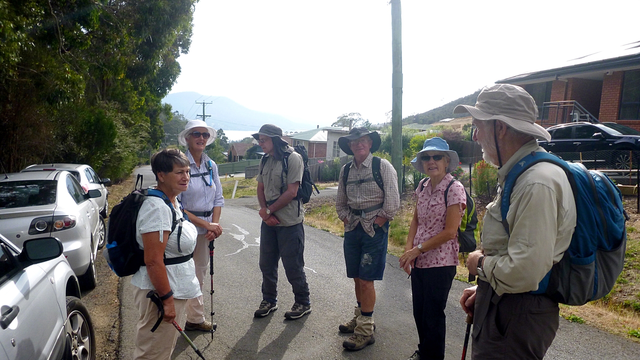
Today we're traveling to South Arm, parking at the Sabre Place turnoff and being led by Tas on a circuit walk.
When I got up this morning it was blowing a gale, cold, raining with reports of snow on Mt. Wellington. Must be summer!
It only took the making a pot of tea before the sun was out, setting the tone for the rest of the day.
The trip through Hobart took much longer then usual, traffic was backed up on the Southern Outlet at Mt. Nelson and continued that way until we got to the other side of the Tasman Bridge.
Lots of heavy cloud around when we parked for the start, but just a sprinkle of rain that didn't last.
 |
| Right! I'm ready to go. Oh..... |
 |
| Pity about the power lines they spoil a nice rainbow |
 |
| Catching up from behind let me see the little diversion they took before finding the start of the track |
 |
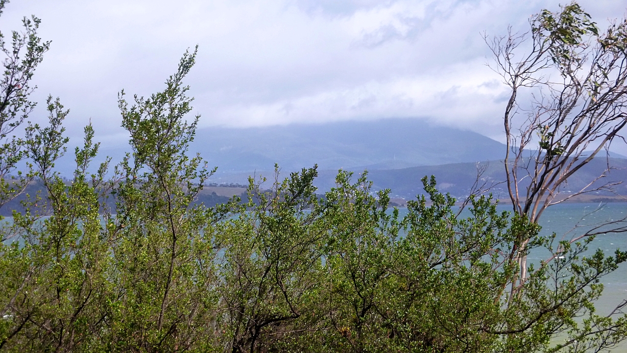
| Lots of cloud on Mt. Wellington, but no visible snow |
 |
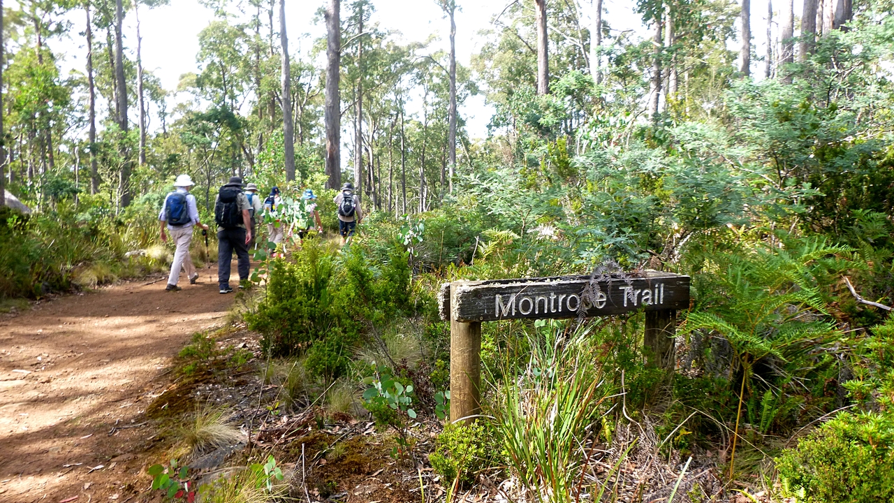
| There are a number of walks in this area and new signs are up |
We continue along an easy walking track and admire the weather on the western shore of the Derwent.
 |
| Give it a short time and the sun will be out |
 |
| There's work going on upgrading some of the tracks |
 |
| There are some nice little beaches on this side of Ralphs Bay |
Some of us, looking at our surroundings, are behind the main group as usual when I see signs ahead of what appears to be confusion. I thought we were lost, but they were just looking for a spot for Morning Tea.
 |
| Search for Morning Tea spot |
A large log was found that supplied seats for most. I'm not sure if Addie wanted to imitate a Buckingham Palace guard or a wood sprite, but he requested the photo below and I was happy to oblige.
 |
| Palace guard or wood spirit? |
 |
| I asked everyone to look presentable, most managed it |
Tea finished we moved on, leaving the new track to take the old one down to the foreshore.
 |
| Down what's left of the old track to the beach. We're not as confused as this photo seems to show |
 |
| The white beach ahead is made up of banks of small white shells. I suppose these beaches have local names, but I can find none on any maps |
 |
| Told you, the sun's out on the western shore... |
 |
| ...but we're not looking too good, plus we're ploughing into a head wind |
 |
| Typical mud stone in some areas along the shore |
 |
| There were piles of these little shells, about as big as your fingernail |
 |
| The black clouds seem to be bypassing us |
We walk to the end of the beach, turn off onto South Arm Rd., heading east for a short distance before turning off onto a track.
 |
| Walking along South Arm Road |
 |
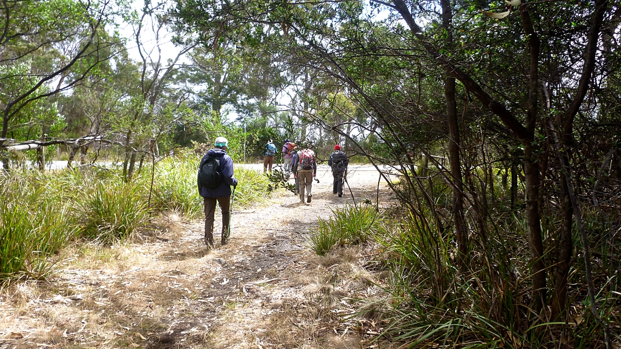
| Once more into the bush |
 |
| After a little bit of to and fro we settle on this way |
There are many tracks and trails in this area as it was used as a sand mine and people dumped their rubbish here in the past.
This will take us to a formed gravel road leading to a lookout over a famous spot.
 |
| Heading for a lookout |
 |
| Not the same day it was less than an hour ago |
 |
| What are these people looking at? |
 |
| Black Jack Reef or Rocks where Bob Clifford parked the catamaran some years ago |
That's Betsey Island beyond the reef. I've read that there's a magnetic anomaly in this area that confuses magnetic compasses. Maybe that's what happened to the big 'cat'.
Everyone satisfied, we backtrack a short way before turning off onto another track.
 |
| This track isn't marked on the maps |
 |
| Our destination, Calvert Beach. I just hope we can find space amongst the crowd |
 |
| Looking back |
 |
| This sort of bush always supplies interesting photos |
We walk down to the beach and unfortunately find that someone is there before us.
 |
| Good swell coming in. The corner of rock is Goat Bluff |
If you look carefully at the extreme right of centre there is some sort of equipment on a tripod with a green something on top. The only other person on the beach was sitting on a rock ledge just out of photo. I don't know if he was recording the surf with a camera or just recording the sound. A mystery.
 |
| Goat Bluff, Betsey Island and Bob |
The main group headed up the beach. Peter, Sue and I were behind because we had been admiring the surf so had to hurry to catch up. We did enjoy watching the others scatter when surf suddenly came in where they were walking.
We turned off about half way up Calverts Beach, over the dunes to a parking area. Following a gravel track out took us past Calverts Lagoon to another turning circle. Here we started to look for a spot for lunch, finding one just as a short shower started.
 |
| Looking down on our lunch spot |
 |
| Lunch |
Lunch finished we went back to the turning circle and looked around for the track Tas wanted. There were several, but none of them are marked. We wanted to go to Calverts Lagoon, so finally set off through a grassy area.
 |
| Heading (hopefully) for Calverts Lagoon |
 |
| Made it! |
We start walking around the perimeter of the lagoon when I notice Bob and Tas looking at something to our left.
 |
| What are Bob & Tas looking at? |
 |
| Oh. A group of rogue shortcut takers |
We caught up with the miscreants, but no punishment was given for short cutting.
We continue around the lagoon to a track that will take us up to South Arm Rd. where we'll cross and get back on the Tangara Trail.
 |
| Leaving Calvert Lagoon behind |
 |
| Approaching South Arm Rd. |
 |
| We're heading for Gellibrand Drive |
 |
| We pass a garden with some interesting features |
 |
| A few of our group compared this artwork with this years Hobart Christmas tree. This is more elaborate |
After passing this property, we reach the Storm Bay View Track and head to our right. This is level walking until we come to the zig zag track leading up hill to Gellibrand Drive.
 |
| Hidden Valley Track sounds interesting |
 |
| Zig zag up to the road |
Reaching Gellibrand Drive, we turn right and head for the cars. Part way along, it begins to rain, keeping us cool until we reach the parking spot.
We had (I think) 14 walkers and covered 11.57km in 3:47hrs. Despite all the weather around us, it was an enjoyable walk with lots to look at.
Click here to download GPX file