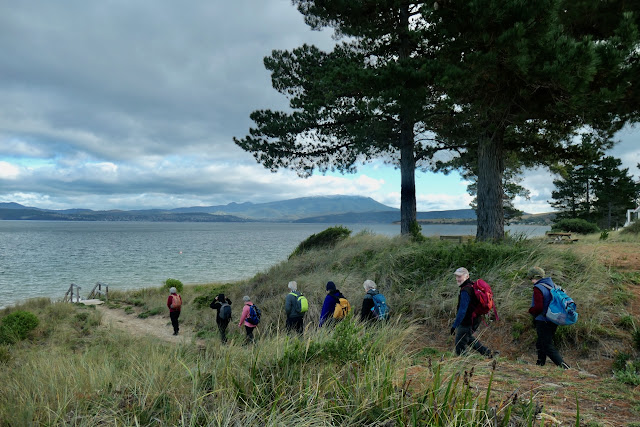
Waiting for the ferry and then a pleasant trip to Bruny.
Wednesday 25 May 2022
Umbrella Point - 24 May 2022
17 walkers set out on todays trip using the ferry to get to Bruny Island and then walking past Apollo Bay to our destination at Umbrella Point.
The weather forecast promised a good autumn day of 14 degrees with mainly sunshine - perfect for walking.
Since we last did this walk in March 2020 there have been a couple of changes
... firstly the Mirambeena is no longer in service and both ferries are now identical Sealink ships
... secondly there is no parking near the terminal and so we had to park and start our walk from one of the carparks in the marina - just below the Oyster Cove Hotel.
Wednesday 18 May 2022
Pot Bay to Cape Direction 17 May 2022
Today's walk is being led by Marilyn and is slightly different walk to previously ones we have done in this area.
The weather forecast is for showers and strong winds.
We left the cars in Saltair Court and proceeded along South Arm Beach.
There is some cloud building up around the mountain as we start our walk.
The cloud formations look quite forbidding.
After walking along in front of the houses on the Blessington Coastal Reserve we come across some new curved fencing beside the track.
The group decided when we arrived at this park for morning tea that they should all pose for a photo playing on the equipment especially as Lorna is not here to enjoy the park.
While the walk along the beach was pleasant enough with the wind behind us everyone was pretty well rugged up.
The track to the Cape traverses the foreshore area of Fort Direction and so there are lots of warning signs.
Fort Direction was established in 1939 after the outbreak of WWII and was part of the defence of Hobart.
Ron checked out one of the local accommodation opportunities.
Looking towards the Iron Pot Lighthouse.
Someone suggested that we should walk around the headland rather than take the easy way along the top.
Looking back to Mt Wellington still overshadowed by the clouds.
One of the WWII gun emplacements still on the site.
Betsey Island which is just off the entrance to the Derwent River.
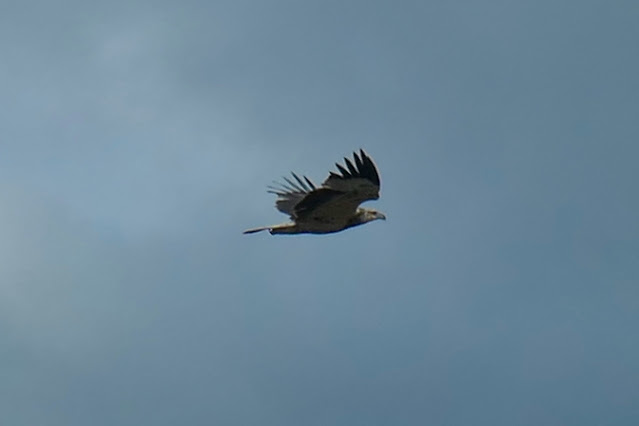
While lunching we had the pleasure of a flyby from an immature Sea Eagle who was having a bit of fun stirring up the other sea birds that were trying to hunker down on the rock shelves between the coast and the Lighhouse.
And then the photographer was being photographed - thanks Chris.
Heading back on the return journey.
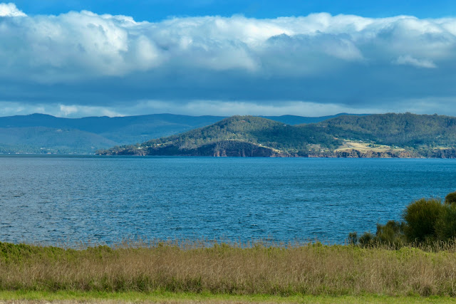
Pierson's Point on the western side to D'Entrecasteaux Channel.
Dennes Point on the eastern side of the D'entrecastreaux Channel.
Fortunately the rain over Mt Wellington did not reach to the eastern shore so we remained dry for the day.
A few Pied Cormorants waiting out the weather.
We had 11 walkers who covered 10.5km in 3hrs 25 mins.
Despite the cold weather it was an enjoyable walk.
Subscribe to:
Posts (Atom)


