Today Bob's leading us on a walk at Myrtle Forest at the back of Collinsvale.
The weather is supposed to be warm to hot in Hobart, so it should be just about right for our walk at the back of the Wellington Range.
After some confusion, we arrive at the car park and set off up the road.
It's not long before we reach our first decision point. The track is closed due to flood damage back in May that hasn't been repaired yet.
Well, the first bridge is o.k. and I'm sure we can overcome any other difficulties so we continue on.
 |
| Setting off |
 |
| Pleasant walk in |
 |
| Warning |
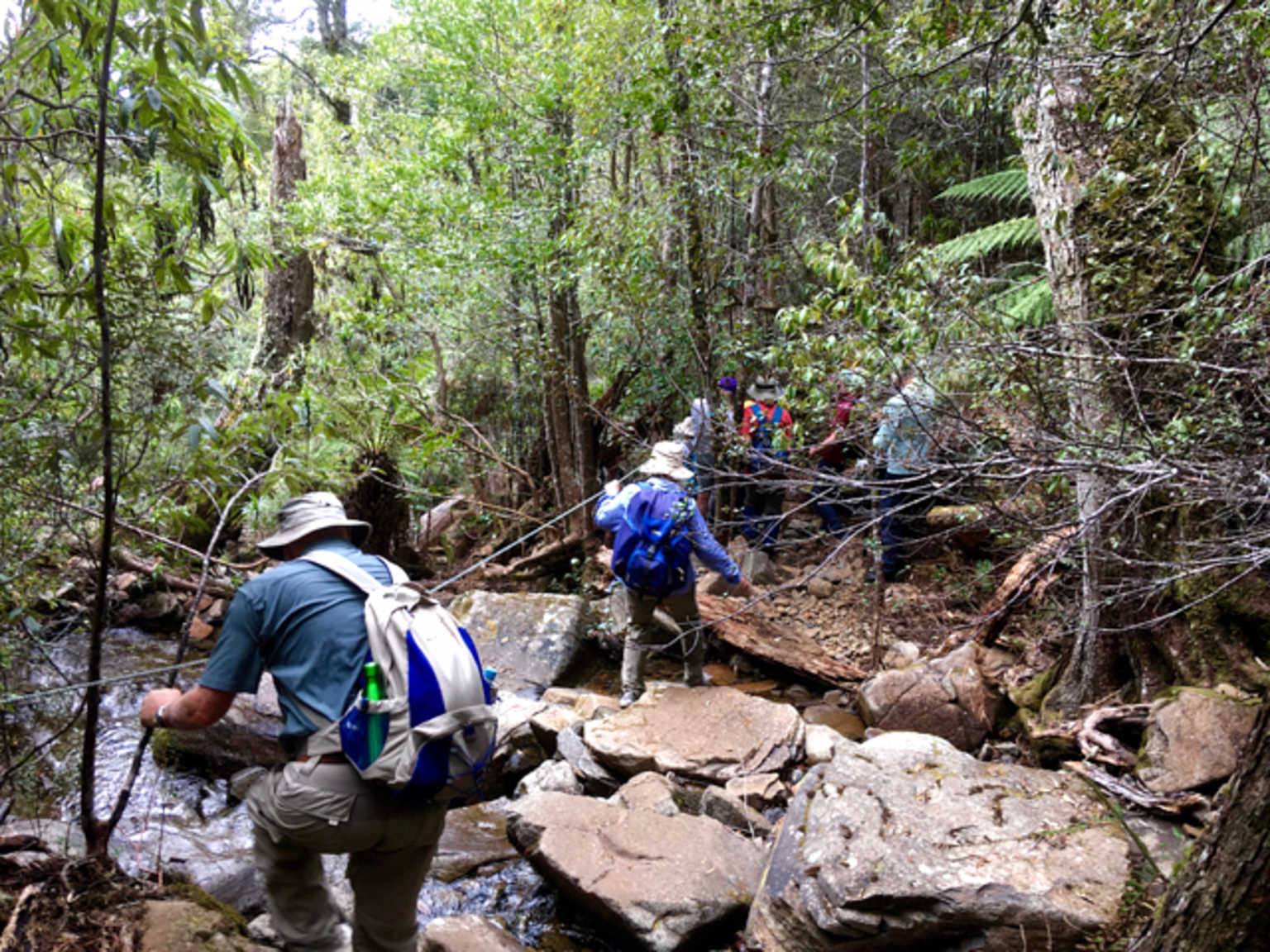
The track isn't too bad, there are a couple of washed out places, but these are easy to negotiate.
 |
| Near the beginning of the foot track |
 |
| First washed out section |
We continue on until we reach Myrtle Falls and the lookout platform.
 |
| Crossing Myrtle Creek by Peter |
 |
| Looking down stream |
 |
| Gail takes a falls photo |
 |
| Myrtle Forest Falls by Peter |
We continue on, climbing up the rocky track until we strike a bit of a problem. The climbing pace has taken it's toll on one of our walkers, leading me to call the front runners back. Bob arrives and decides to change the walk and also we'll divide the group into two. One will continue on the Myrtle Falls Track and climb Collins Cap and the other will climb up the turnoff not far ahead and climb up to the fire trail above.
Our party member feels a lot better after a short rest and our smaller group begins climbing to the Collins Cap Track turnoff. Unfortunately, we keep catching up with the others until we make our break leading to calls for them to hurry up! No more problems climbing this track and we can keep our own pace.
There are a lot of
Richea dracophylla growing here, and many are in flower.
 |
| Photo by Peter |
 |
| Photo by Peter |
We reach the top to find Peter waiting for us. He and Wayne take off, heading for the top. I decide to take a walk along the fire trail to see what I can see.
 |
| Lunch |
I didn't mention that when we were on the lower track several walkers came down, one with what appeared to be a butterfly net, and made their way through us.
Not chasing butterflies, but spiders as part of some private research. They had permission to do this from the authority and when I walked down the fire trail, I came across their camp.
 |
| Spider experts camp |
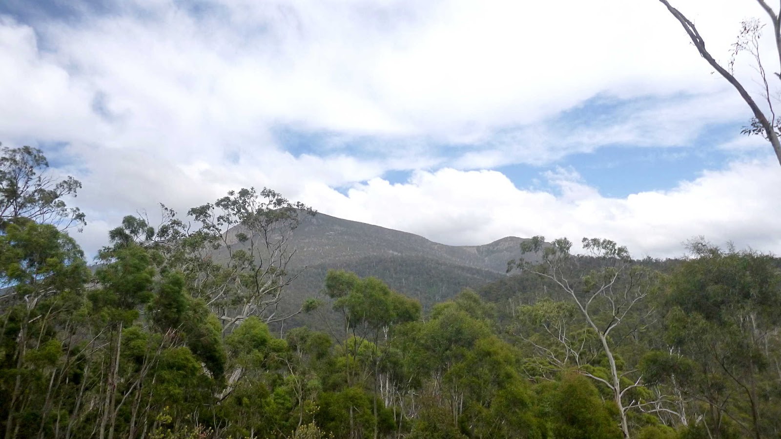
This area is quite open with hills all around.
 |
| Collins Bonnet |
 |
| Collins Cap |
While looking at Collins Cap, I could just make out some small coloured dots, and hear distant voices. I tried taking several photos by guess work as I couldn't make out any detail in the LCD display. One worked out.
 |
| Bob with the other group heading up |
I actually thought they were coming down as tha'st what the dots appeared to do. Anyway, I enlarged the photo from the 20X to get the picture below.
 |
| Not the best quality, but you can recognize yourselves |
I returned to the others having lunch in time for the spider hunters return. They were leaving today.
The rest of us start back down the track, heading back to the cars.
Peter has taken several photos of the climb up Collins Cap and these are shown below.
 |
| Needle Bush seedpods by Peter |
 |
| Lichen by Peter |
 |
| Track to Collins Cap by Peter |
 |
| Gliophorus Viridis by Peter |
 |
| Hakea Lissosperma - Needle Bush by Peter |
 |
| Looking down on Suhr by Peter |
 |
| Looking towards Mt Field by Peter |
 |
| Precipitous Bluff in the distance by Peter |
Meanwhile, back at our location.
 |
| This was all fire blackened the last time I was here |
 |
| Lichen |
 |
| Heading down |
 |
| It would be interesting to see this spot in a few years |
 |
| The track |
 |
| Decorated by nature |
 |
| You don't want to go off track |
 |
| Back to Myrtle Forest Creek |
We arrive at the picnic shelter and find a bloke walking his dog. I remember him from our walk here back in 2014, he owned the land we were walking on.
Happy to talk, and happy to have walkers, he is trying to recreate grass land by planting native grasses to attract the wildlife.
We seemed to agree on just about everything concerning politics and conversation as he walked back to the cars with me.
For those who know, parts for the movie The Nightingale and The Kettering Incident were filmed here. One of his mates nearly ran over the leading lady of one of these productions as she walked along the road.
It was a good walk, short but good. Thanks to Bob for varying it to meet our needs at the time.
I've posted two maps one from my GPS and another I drew up by guessing what track Bob took with the rest of the group.
We had 18 walkers and covered 6-8km depending on which track you followed. None of the usual information due to circumstances.
 |
| My guess as to where the other group went |
 |
| Track from the smaller group |