Today being a special day, Bob is taking us on a walk around Kingston.
Why is today special I hear you vaguely wonder? It's the last Tuesday in November and the day that the Melbourne Cup horse race is run. Starting at 3p.m. walking locally means we can be home for the start.
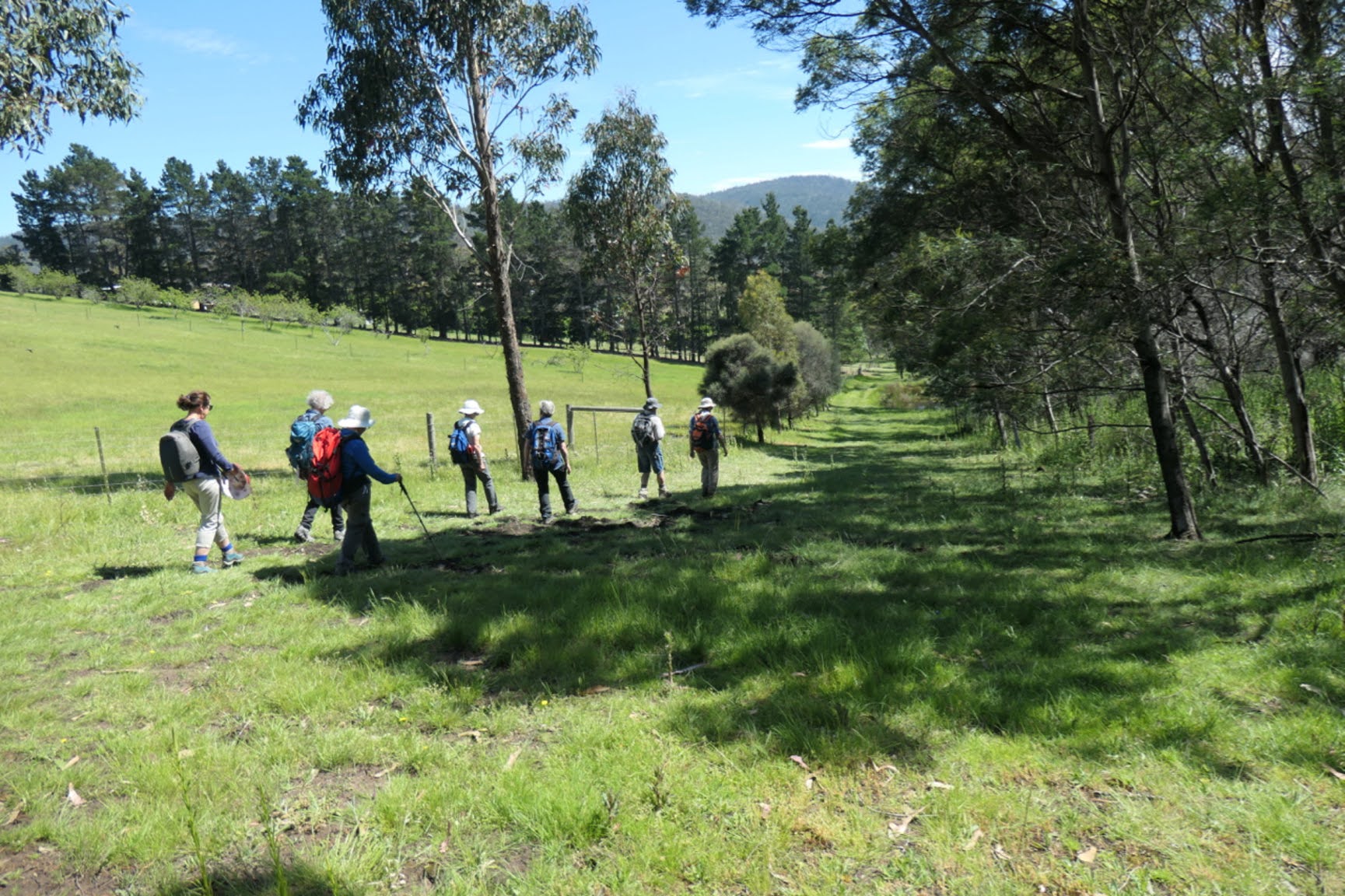
Starting off at our usual Tuesday parking spot, we head up Baynton St. towards Baronia Hill.
 |
Gathering for the start
|
 |
Heading up past the houses
|
 |
There are some colourful gardens along the way
|
If you're interested in what those white flowers are, they're big.
 |
| Mt. Wellington/kunanyi |
At the top of the street we reach the entrance for the Boronia Reserve, a bit of bushland that people can enjoy.
 |
There are a number of tracks in the reserve
|
 |
Looking over the Channel towards South Arm
|
We walk down through the bush and down a set of steps to Auburn Road, turning right heading to Tanina St. only to loop left onto Roslyn Ave.
We only follow Roslyn a short distance until we turn right onto a path labeled Ewing Lane which takes us down to the Kingston Oval.
 |
Auburn Road
|
 |
Start of Ewing Lane
|
 |
Kingston Oval ahead
|
As we reach the Oval we see a group of new Mums and their babes evidently having a postnatal yoga class in the sunshine.
Did I mention today is forecast to be the hottest day with a temperature of 30C which translates to 86F or 303.15 Kelvin.
On we go, heading to Kingston Beach and the beach.
 |
Kingston Beach
|
We head north to cross the bridge over Browns River to reach our Morning Tea spot.
 |
Over Browns River, looking at the dog beach
|
This is an area set aside for letting your dog off lead. We used to bring our dogs up and they really enjoyed it. This is where Browns River empties into the Channel and I can't tell you how much it changes as wind and water currents shift the sand around.
 |
Morning Tea in comfort
|
 |
Dog beach
|
After our break we head up a track, still heading north but climbing.
 |
Up the track
|
 |
The trouble starts with this orchid
|
Peter spotted some orchids beside the track and he and I stopped to take some photos. The others continued on and soon disappeared. When the two of us realized, we headed up but couldn't hear anyone which, I can tell you, is unusual.
Reaching a junction with another track that heads back down, we stopped and thought we could hear the others somewhere down the track.
Knowing that our leader, Bob, likes loops we thought he may have gone this way.
However as we got farther down the track I realized the voices were coming from the dog beach.
Back up we headed to the junction and Peter pulled out his phone and found they had continued up and were waiting at a place known as the paddock.
 |
The Paddock
|
There is a house and garden you can just see on the left of the above photo and it has an interesting garden feature.
 |
Judging from hair length she's been at it for a long time
|
She also had very interesting fingers!
 |
And a body guard
|
 |
North end of Bruny Island
|
 |
Harpers Road ahead
|
We make our way along and down until we reach Stringybark Road. Here we reach an entrance to a block that's not been built on nor fenced. We turn off and head up finding a track in the bush.
 |
There is a very worried introduced weed growing on the bank
|
 |
Heading towards the bush
|
 |
Last look at civilization or Kingston as it's known
|
 |
It becomes denser
|
We continue down following a bike track locals have made. It becomes darker and damper towards the bottom. This is only 10 minutes from downtown Kingston and is between the Channel Highway and the Kingston Golf course, but you wouldn't know it.
Finally we make our way up onto the Channel Highway, making our (hot) way down to Proctors road where we continue down on the dirt.
 |
Down the Channel Highway...
|
 |
...onto Proctors Road
|
 |
Very thin top soil here
|
 |
Bridge ahead
|
We cross Browns River again and walk up Browns Road. It's hot.
 |
Browns Road heading south
|
We're walking next to the Southern Outlet, heading back towards Kingston.
After a while, we enter the Kingston Wetlands. This was set up to treat storm water coming down the Kingston Rivulet and Whitewater Creek and cut down on pollution entering Browns River.
A series of ponds and heavy planting have made it a haven for wildlife, particularly ducks as you will see.
 |
Over a creek in the wetlands
|
We're heading for a lunch spot.
 |
Lunch with ducks
|
 |
One of the ponds
|
There are tables you can use for lunch etc. but they are in the full sun.
After lunch we head to the nearby Channel Highway, crossing and walking through the graveyard of St.Clements church.
Bob's taking us back to our cars by various paths and rights of way. At the end of this path, we walk behind the Kingborough Council offices.
I was at the back and as we passed the door to the council chambers I noticed a woman waiting for us to pass so she could wheel her bike inside.
This being Tasmania, she looked at me, asked me if I was who she thought I was and introduced herself.
She was the daughter of a couple who we first met when we moved to Woodbridge 50+ years ago and I haven't seen her since she attended primary school with our daughter. I knew she worked for the council and she told me she reads the blog to see if we have any complaints about the tracks the council look after!
Nice to know I'm still somewhat recognizable and that someone reads the blog. I assured her we had no complaints. Yet.
On we go climbing towards the cars with plenty of time to spare before the great race.
Now, there was some discussion at the start when Bob said the walk wouldn't go beyond a certain distance of Kingston town centre. I can't remember if it was 1.5km or 2.5km so I've added a map below that has both centered on the council chambers.
We had, I think, 16 walkers and covered 11.26km in 3.55hrs. And the temperature was 30C when we reached the cars.
CLICK HERE to download GPX file