Today we're off to climb Rocky Tom, led by Bob.
The weather forecast is a bit iffy, but, in a continuation of our good luck recently, turns out fine.
We park off Geilston Creek Road in Geilston Bay and set off.
 |
| Setting off |
 |
| The wattles are out and add colour to the walk |
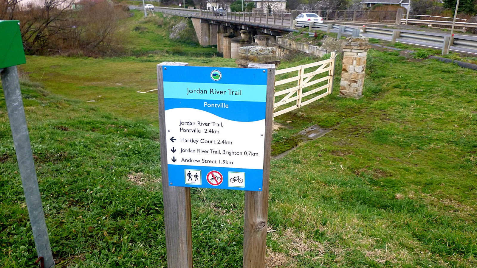
We follow the track and road with the creek on our left and houses on our right until we reach the sign at the entrance to the reserve.
 |
| The entrance to the reserve |
The reserve is about 162 hectares in the Middle Meehan Range on Hobart's eastern shore.
 |
| Around, over or through? |
 |
| Through |
Once past the barrier, we set off following one of the many tracks in the area.
 |
| Someone spots the camera and they all adopt an expression of enjoyment |
 |
| We just crossed this little stone bridge |
It wasn't here the last time we walked the area. Nice job of construction.
 |
| The builders even recycled something they found in the area |
At first sight of the above, I thought the bridge was adjustable.
 |
| More recycling |
It's about now that we leave the safety of the track and set off into the scrub. We're heading towards Faggs Gully.
 |
| Looking back |
 |
| We make our way down, over the gully and up the other side |
This brings us to a fire trail that needs a bit of attention. We start uphill now, heading towards Rocky Tom.
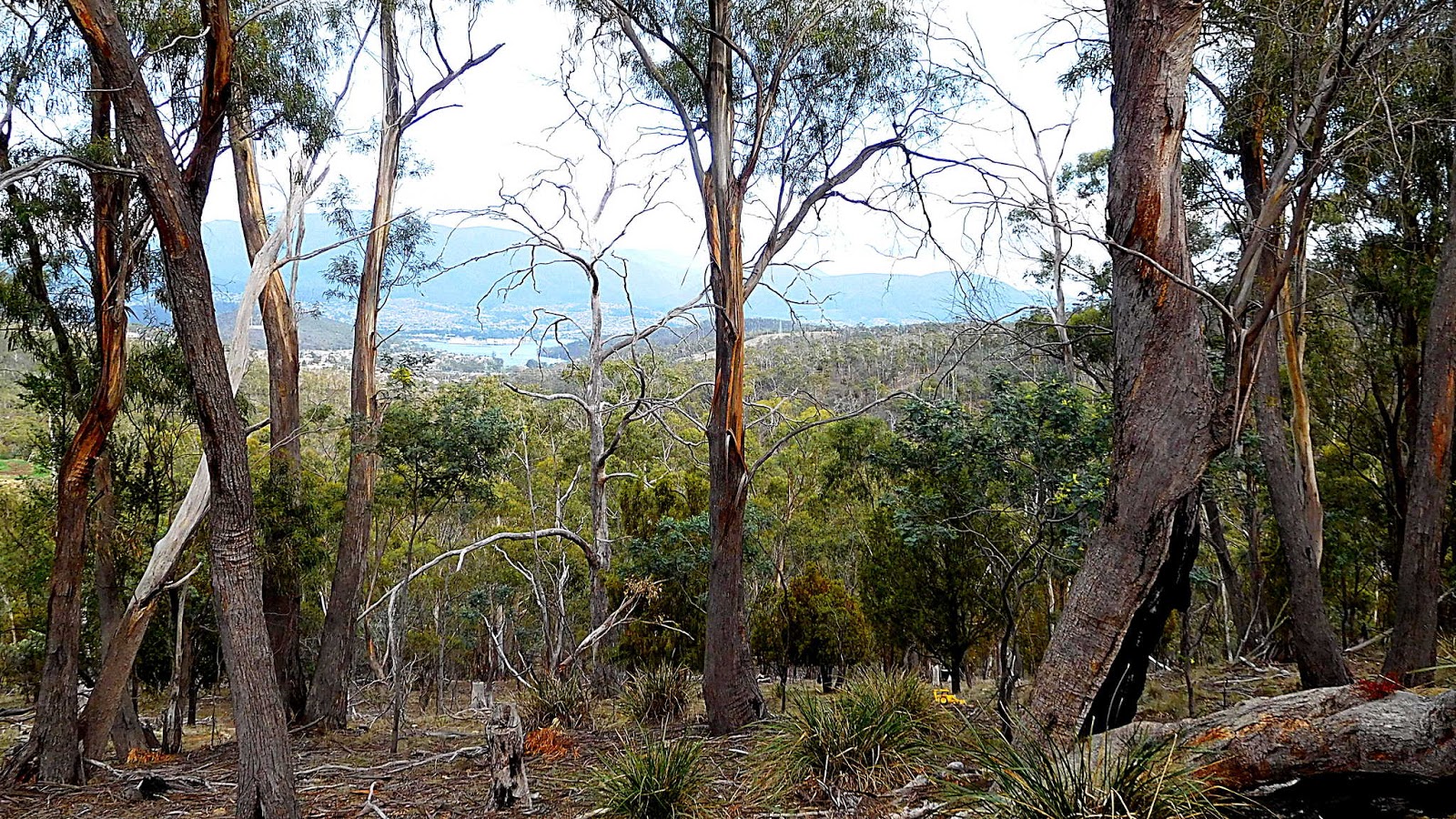
There are a couple of views available behind us.
Wayne spots the yellow of some earth moving equipment just off to our left. If this is what is being used to repair the fire trail, it may take awhile.
 |
| How and why this was left way up here is a mystery |
Shortly after spotting the toy, we head left onto the track to the bottom of Rocky Tom.
 |
| Leaving the main trail |
 |
| Looking back |
 |
| Waiting for everyone to regroup |
We can either head to a way up in that direction, or take another which is behind me. We settle for the one behind me. If you're really keen, you can climb up the face.
 |
| Looking down from the top |
 |
| A gentle walk takes us to our Morning Tea spot |
This is on a large rock shelf providing a good view for our break.
 |
| Risdon Vale in the distance |
 |
| Morning Tea |
The is a breeze blowing towards the cliff edge, so we keep well back. The seating is also more comfortable back there.
 |
| Mendelt and Lorna brave the breeze for a photo opportunity |
I don't bother with a break and have a wander around the general area.
 |
| One spot gives a view of the distant Tasman Bridge in Hobart |
 |
| Looks like someone's comfortable shelter |
 |
| Rocky Tom lives up to its name |
 |
| Found some tiny fungus |
 |
| Two subjects in one shot. Fungus and native scat (on the piece of bark) |
 |
| Slightly larger fungus |
After lunch, we set off to follow a fire trail down, taking us below our Morning Tea spot.
 |
| Lots of wattle |
 |
| Looking back |
 |
| Blue sky, white cloud and yellow wattle |
 |
| Morning Tea was up there |
We make our way around and climb up to Seager Saddle, heading for lunch.
As we walk along a fire trail, enjoying the sunshine, I look down and spot some industrial archeology, just lying there.
 |
| On the surface of the track, it looks hand forged to me |
 |
| I called it a staple, but of course, it's usually known as a 'dog' |
Going to the font of all wisdom, the Internet, I found a book on old tools. I'm not so sure about ancient, but these are old.
If you really want to know how these were used, read the second paragraph below.
Of course, I'm pretty sure there were no water powered sawmills up here, but a steam mill is possible.
The educational section is now over, and I catch up with the rest of the party for lunch.
 |
| Lunch will be down there, in the distance |
 |
| Lunch |
After lunch, we have a look around and find the usual, although this time it's signposted.
 |
| If you can't read it, it says:"Lamburghine". Can't make out the second except it ends in "Tzu". I think both are fairly optimistic |
 |
| Spot the Lamburghine |
Leaving all that behind, we start downhill on a rough track.
 |
| Bob leading the way... |
 |
| ...while the others follow |
It's not long before we turn-off onto a bike track, still heading down.
Always on the lookout for something different, I nearly cause an accident when I stop suddenly for the fungus below. Mendelt had to do some fancy footwork to avoid a collision.
I've got the book, but I've not found this in it as yet.
We squeeze past a gentleman walking up the track and continue our way back to the cars.
 |
| The track |
A good walk with a couple of nice hills thrown in. Bob also took us on some new sections, which was good.
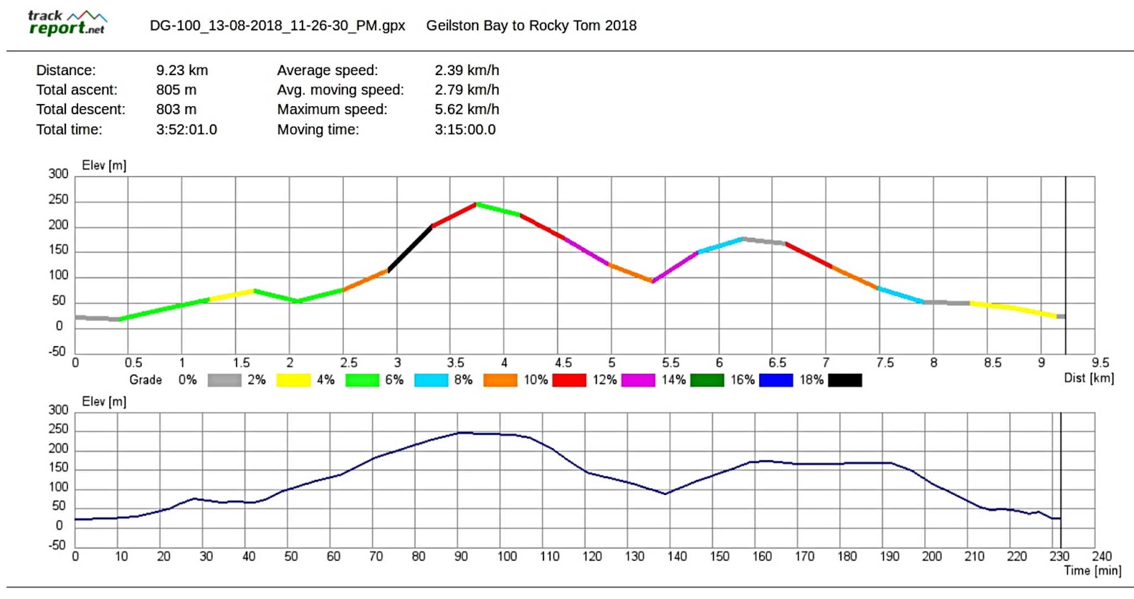
We had 17 walkers and covered 9.23km in 3:53hrs. The weather was perfect for walking and there are many tracks left to explore.