Tuesday, 18 February 2025

Lindisfarne/Natone Hill Circuit - 18 Feb 2025

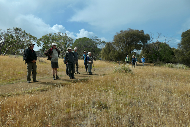
Today we are walking from Lindisfarne Bay via the foreshore and Shag Bay Track returning over Natone Hill to our starting point.  

The view across Lindisfarne Bay.

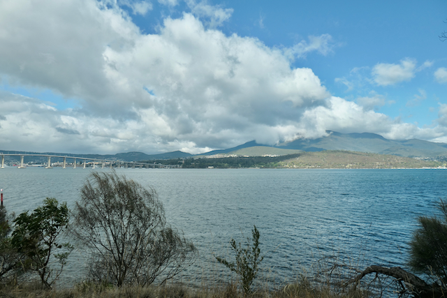
Looking toward the Tasman Bridge and Mt Wellington from Anzac Park.

Passing through Anzac Park.

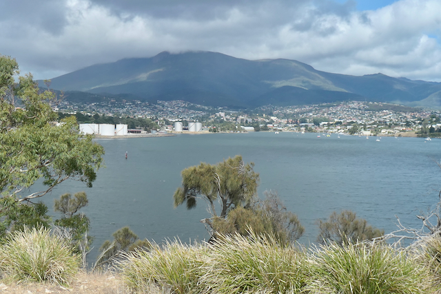
The view from the Foreshore Track towards Selfs Point and the Nystar Zinc factory.

Looking down river.

Geilston Bay.

Geilston Creek flowing into Geilston Bay.

Another view across the river to Mount Wellington.


The group inspecting the fire circle on the headland.

Climbing the Shag Bay Climb.

Looking across Lindisfarne from Natone Hill towards Lindisfarne Bay.


The Lookout on Natone Hill.

The view from the lookout.

A final view down the River Derwent before the arrival of a rain shower.


We had 16 walkers who climbed 12.4kms in 4.5 hours climbing and descending 220 meters.


Wednesday, 12 February 2025

Junction Cabin - Sphinx Rock Evening Walk - 11 Feb 2025

 Instead on a daytime walk this week Joy is talking us on an evening walk from The Springs to Junction Cabin returning via Spinx Rock with the intention of viewing the sunset and full moon rising from Sphinx Rock.

Unfortunately the low cloud at the start is not a good omen.

However we head down to the Lenah Valley Track with hope that the clouds will lift before we return to Sphinx Rock.


We follow the North -South Track to Junction Cabin.

Discussing the formation of one of the numerous scree slopes on the way.

Relaxing with a bite to eat at Junction Cabin.


We then head back along the Lenah Valley Track towards Sphinx Rock trying to see the city though the trees.

And the mountain mist which appears to be getting thicker.

Getting ready for the moon rise.

And maybe a celebratory wine.


Mother Nature decides not to co-operate with our plans for today.


Packing up just on dusk to return to the cars.

I have no idea where the rest of the group is and hope someone has counted the heads.


14 hardy walkers covered just under 8 kms in 3.5 hours with stops  descending and climbing 180 meters.

Thanks to Joy for leading the walk and Chris for providing some additional photos.

Wednesday, 5 February 2025

Cape Surville - 4 Feb 2025

 The walk into Cape Surville has not been undertaken by our group previously.

The weather forecast was for a reasonably warm day with a southerly change coming though in early afternoon.

 After an exciting couple of kms on fairly rough ex-forestry road we arrived at the carpark after crossing a small creek.

 
Looking up the creek from the road.

The group setting of on the 3 kilometre road walk until we reached the start of the track proper.

And it was getting warmer with every step.

Some of the degradation of the roadway explaining why we walked the extra distance.


A happy group enjoying a late morning tea.

Our first sighting of the coast from a small sidetrack just after we leave the open forest and start climbing the first hill.


First real glimpse of Cape Surville.

Still climbing.


The start of the first descent.

Native laurel in abundance in this area.

Entering a rainforest.

With a forest of very large Man Ferns.


Crossing the third creek but the first one with any significant flow.


Looking back along the coastline with some spectacular rock formations.

A clear view of High Yellow Bluff.

The Sisters .

Lunch with a view.

You can see the dolerite layer with sandstone on top and then a mudstone layer on top of that.

 
 Some of the more hardy walkers continued on to the actual cape and provided the following photos.


A sea cave that was noted from The Cape

Parson's Bands Eriochilus cucullatus our lonely orchid for the day.

Leaving the carpark to head home.


We had 16 walkers who covered the 11km walk in just over 5 hours climbing and descending 280 meters.

A very enjoyable though hard walk for most of us.

Thanks to Ron and Micheal for the extra photos and Sally for leading the walk.