Today's walk was initially to Herringback which lies in Sandfly, after that we began another adventure. Both were led by Bob.
The weather was cloudless and promising to be very warm when we parked in Halls Track Rd. just off Pelverata Rd. Walking up the road from the cars was actually quite pleasant, running through hill farming country as it did.
However, Bob had promised some fun things for this walk, and the first one came when he stopped and began to put on gaiters! I did hear him say he'd only come down this track, never up. We were going up, of course.
We crossed over a dilapidated electric fence (after checking first so we got no painful surprises) and began climbing up hill through scrub.
 |
| Walking up Halls Track Rd. after leaving the cars. |
 |
| Looking to our left (south) |
 |
| Farm with new house just to our right (looking from the road) and the antenna mast on Mt. Wellington in the distance. |
 |
| Nice herd of cattle. |
 |
| The gaiters go on for the first part of the adventure |
 |
| Looking back over the farms |
 |
| The gaiters are only really needed for snakes. Which is why all these people are in front of me! |
Going up gives some opportunity for views before it levels out and we join the vehicle track that leads from Halls Track Rd. up to the communications towers on top of Herringback.
 |
| Looking towards Kingston |
 |
| Regrouping under a nice shady tree |
 |
| Those towers in the distance are where we're heading. |
 |
| Looking towards Lower Longley |
 |
| Now, we're on the access track to Herringback |
As we walk up, you pass through two gates, between 2 reasonably sized olive orchards that appear to have been abandoned to a machinery shed just off track. This is the place where the track begins to climb and Adie decides to wait for us here. This is probably a good move, as when we finally get to the top, there are warning signs about the effects of electromagnetic radiation on electronic gadgets, and I would have hated to see Adie break into a highland fling every time he got too near an antenna. Besides, he told me he'd been up twice before.
The road is gravel and you have to be careful and walk in the centre or in ruts so you don't slip. This applies when going down too.
Gordon had stayed behind with Adie to checkout the machinery shed as shelter, so he began his climb well behind the rest of us. Nearing the first switchback, I looked back and could only see a tiny white hat way down the hill. However, as most of us were stopped and catching our breath, Gordon caught up and passed us!
 |
| One of the neglected olive groves |
 |
| Our party had the equivalent of 2 wheel, 3 wheel and 4 wheel drive. That's 2 legs, 2 legs and a stick and 2 legs and 2 sticks. |
 |
| Gordon catching and passing me |
 |
| Looking back down the track. The pole supplies power for the various communications installations. |
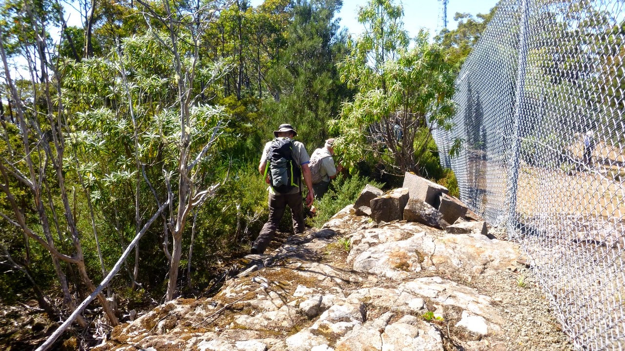
There are 3 compounds on top of Herringback. What appears to be the oldest is the furthest up, and as it was Morning Tea time, we walked the narrow ledge between a chain link fence and a short drop to a vantage point.
 |
| The first of the 3 compounds behind me |
 |
| This appears to be the oldest, and has access to the top. I suspect it's unofficial access |

| Tas enjoying the view. I didn't know it at the time, but it was his birthday. So, "Happy Birthday Tas!" |
 |
| Morning Tea |
 |
| Narrow track along the ledge |
Tea finished and views seen, we start back down the hill. Caution is required, no matter how many wheels you have.
 |
| Going down |
 |
| Nearly there, Adie waiting in the distance |
 |
| Now we're off for another adventure |
 |
| Turning right off the access track and heading bush |
Trusting Bob, we turn off on an older track that becomes an even older road that was probably built by the timbergetters of yore.
 |
| Ominous warning! |
 |
| Our first obstacle, a fallen gum |
 |
| The track is becoming overgrown |
 |
| A little bit of mud |
There were some old stumps around, and some areas that appeared to have been cleared in the past, now with young gums.
 |
| Nice fungus, I'm sure it's safe to eat. Let me know how you get on. |
We're now about to leave this comfortable track for another which is not so clear.
 |
| Another fallen tree is ahead, and we're heading downhill |
We walked down through the bush with few if any markings. The further down we got the more we found tracks running off in different directions. If I didn't know better, I'd suspect Bob of witchcraft. I don't know how he remembers all these trails. By his own admission, its been some time since he was here last.
We begin to come across evidence of civilization, as we find where someone has been cutting a fallen gum for firewood. Bob has promised us we would find a nice pond to sit beside for lunch.
 |
| If only I had room in my pack |
 |
| I'm under notice to point out that BOB FOUND THIS FUNGUS! |
|
I don't know if the marks are from Bob tasting it, but he appeared to be fairly normal for the rest of the walk, so perhaps he didn't.
 |
| Getting close to lunchtime |
As it's been some time since Bob was here last, houses had appeared around the area. Unfortunately, one of those was at the pond we were going to visit.
 |
| The pond. More like a small lake |
 |
| Obviously private property, but there were no signs of it when we followed the track here. |
 |
| What a spot for a house. |
Lunch was taken on a track beside the pond. The pond itself is quite large with a number of water birds in the distance. It's also been stocked with fish as they were constantly leaping out of the water for insects. It really is an idyllic setting.
I thought for a while it may be a commercial operation as there was another building you can't see in the photo. However a search on the address revealed nothing. You can see it on the Google Earth photo, and also see that we just missed another pond when we came down. As a matter of interest, the entrance to the property is off Wallsend Rd. which runs off Pelverata Rd.
After lunch, because our exit was now blocked, Bob led us in a small circle back to the track we came in on, and we retraced our route back to the access road to Herringback.
We took a little deviation from there and walked down cross country to meet the junction of the access road and Halls Track Rd.
We walked back to the cars from here.
It was a very interesting and enjoyable walk. We had 13 walkers and covered 10.7km in 4:37hrs.
An aside comment. I've used the road name of Halls Track Rd. as this is what is shown on the government map on the LISTmap site. However on other government maps it's shown as Halls Creek Rd. as you can see from the map below. I wonder what a GPS would show?
Click here for Listmap site.
Click here to download GPX file


No comments:
Post a Comment