Today we're walking in the Meehan Range on the eastern shore on tracks in Stringy Bark Gully and onto the Skyline Trail. Tas was going to lead, but concerned he might be coming down with a cold, asked me, rather than chance it.
Fortuitously, I had downloaded a map and walk description from Clarence Council. No problem. Well, it was a bit of a problem as it had been written by a child of the digital age who described walk directions as following an anticlockwise direction. No, it was clockwise. I wonder how many tourists they've lost?
Tas had very kindly given a booklet of walks in the area to Peggy to give to me when I arrived. Unfortunately, I didn't have time to look up the walk and when we arrived at the start it was raining (lightly) so I was worried about getting the book wet. No problem. How hard could it be?
I should say the weather was not what we have come to expect on the eastern shore. On the way over, you could hardly see the Tasman Bridge. We decided to start at the end of Belbins Rd. as we've been there several times before.
 |
| The rain never amounted to much, just a drizzle |
We set off along a track we've been on before. I'm looking for the place where the bike track splits off and the walkers can take an old fire trail.
We pass though an area with several old concrete foundations. These are left over from WWII when ammunition was stored here in, what's been called, a secret base. This is Tassie and I don't believe it was all that secret!
 |
| Bomb and/or ammo storage site. One of several |
 |
| Easy walking on wide track |
 |
| We're heading up there in the clouds |
 |
| It turns into a shared track with mountain bikes |
We continue along beside the dry Barilla creek bed into Stringy Bark Gully. Eventually we come to where the bike track splits off to the right and a steep rocky fire trail goes up on the left. It doesn't look too inviting on the fire trail, so we go up the bike track - one we've been down before.
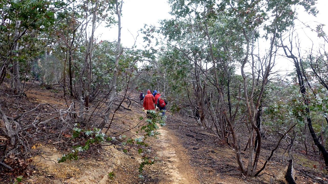
It's probably more comfortable walking as it zig and zags its way up.
 |
| A bit more moisture in the air now |
 |
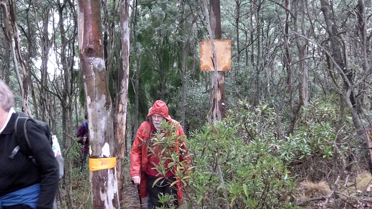
| Sorry Julie, there's no escape now |
 |
| There's tape here and there to stop bikers from taking the wrong path as they fly down |
On the way up, we find a comfortable log for Morning Tea. I don't remember why, but I've neglected to take photos of this event.
We continue climbing before coming to the top where we join the Meehan Skyline Trail. Turning left, we soon pass where the old fire trail also joins this track.
 |
| Sign at the top. It wasn't that difficult |
 |
| Richard can hardly disguise his enjoyment on his first walk for a while |
 |
| This is the standard of trail sign we'll see from now on |
 |
| Still cloudy |
 |
| The junction with the old fire trail we could have taken |
 |
| Yes, it's up hill now |
 |
| It soon levels out and bears left |
This is where things go awry. The lack of anymore signage and no land marks on the map means I miss the start of the track that would have taken us along the cliff tops. I should also say that there are tracks everywhere and you could probably spend a year or so exploring them.
Never mind, it's pleasant open bush and easy walking.
 |
| Needs a bit of attention |
 |
| I bet that on a good day the views from that ridge would be great |
We continue on until we come to a line of electrical towers. Do we go down there? Oh, they aren't marked on the map, probably only been there for 40 years or so.
We can see Mornington, so we just have to make a decision if we want to follow the power lines down or find another route. Peter brings out his phone and calls up Google Earth and we decide to take another track to our left which leads into the bush.
Obvious signs of mountain bikers and a view of the cliff top walk we should be on across the valley. That will be a good walk for another day.
 |
| Heading down |
 |
| Remains of an old mower just off track. You have to wonder at the level of intelligence that decided that it was worth all the energy it took to get it into this, I have to say, not very convenient spot! |
 |
| We'll save that ridge walk for another time |
We make our way down and I find a nice, steep hill we can climb. I'm sure everyone was pleased, just kept it to themselves!
 |
| Not many times I'm in front. I'm beginning to enjoy it! |
We reach the top and start down, the track winding around until we reach the bottom and a proper trail. Now we start looking for a place for lunch.
 |
| About to join a wider fire trail |
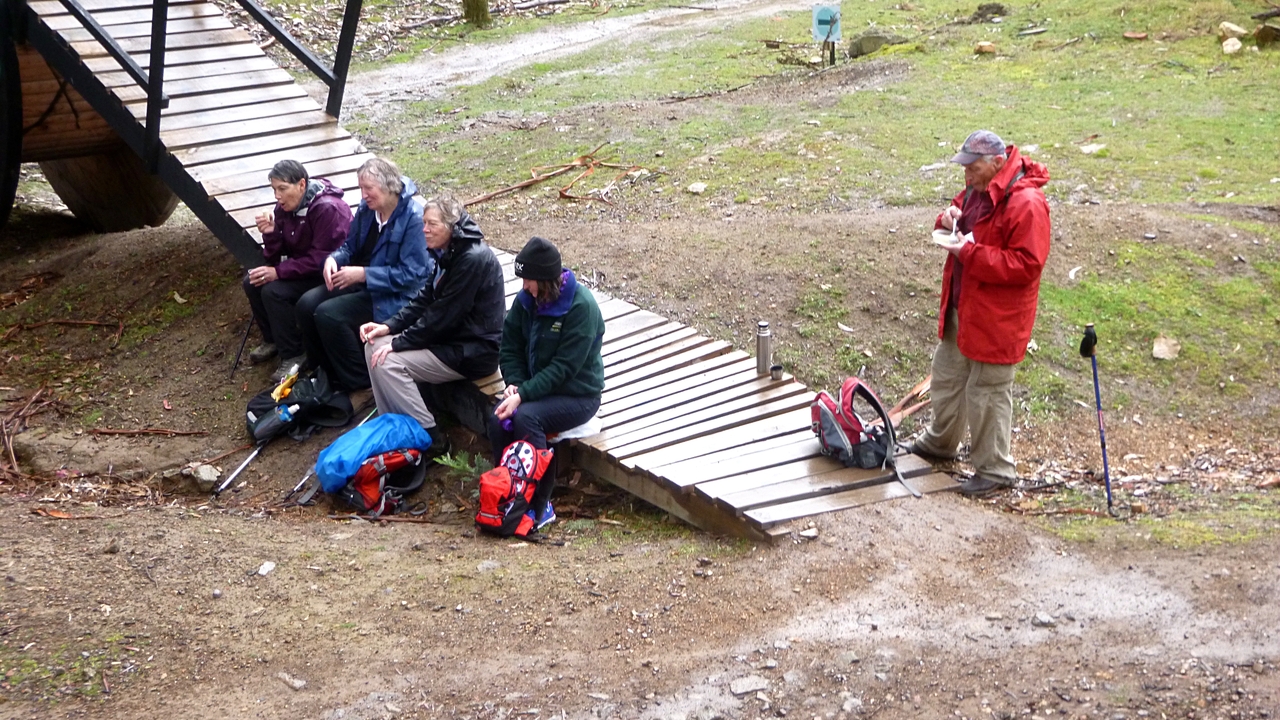
Passing up a couple of places along the track, we come to a mountain bike park which provides suitable seating.
There are also stone abutments that belonged to the old Sorell Railway. We'll be following along some of the old railway bed later.
 |
| Mountain bike park |
 |
| Old railway abutment |
 |
| The other side |
 |
| Lunch. Yes, it's still a little wet |
 |
| Foundations of a building in the bike park. I wonder what it was? |
 |
| Family resemblance? |
|
|
We found a sign in the park with another climb description for Bob to use.
 |
| Strenuous. That sounds good. I think this is the bottom of the track we should have been on for the Clifftop walk |
From here we walk back more or less parallel with the Tasman Highway to Belbins Rd. The track comes in at the beginning of Belbins and there are several cars there.
 |
| Back to Belbins Rd. |
I find that the Pandani Bushwalkers were also walking in the area the same time we were. They were going in the opposite direction and had left earlier, so we missed them.
We had 9 walkers and covered 10.23km in 3:45hrs. A good walk with new areas and the opportunity to explore. It's unusual in that I was able to get so many photos from the front.
Click here to download GPX file


im still struggling to find the bit that gets you up onto skyline - should i continue along the main trail for longer I wonder?
ReplyDelete