Today we're walking on Mt. Wellington and have been forewarned re the difficulties of the walk. Never mind, it's a beautiful day and Tas is leading us.
We park just before the end of Lenah Valley Rd., Tas assures us this will give us a chance to warm up before we start climbing.
We take the track that runs along side of the road, parallel to the New Town Rivulet.
 |
| There's a bit of water in the rivulet |
 |
| Old walnut tree. There was a farm up here in the past |
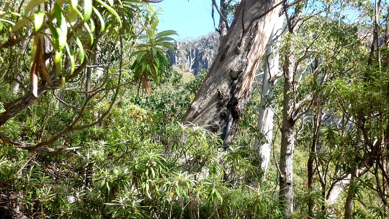
 |
| Glimpse of Mt. Wellington |
 |
| You can't say we weren't warned |
 |
| Now we're starting up |
It's pleasant walking at the moment.
 |
| We're turning off the Lenah Valley Fire Trail onto the Old Hobartians Track |
This trail is of the old style. That is, not prettified with gravel and resembling a footpath in a suburb. I personally prefer this old track as I feel closer to both the mountain and the people in the past who enjoyed it.
 |
| Ruins |
These ruins are of the Old Hobartian Hut. I haven't found a photo yet, but here's a description from Wellington Park Heritage Audit report:
Cornish photo (no.35)/Davies photo show a stone hut/shelter with large open windows on either side of the doorway at the front and with a low pitch gable roof (corrugated iron) set in a flat clearing.
Marked as a 'cabin' in 1931 (HWC) and as a 'ruin' in 1942 (HWC) and 1957 (Aves). An associated waterhole is shown immediately to the E on creek (HWC 1931).
Evidently there are more walls to be found if you explore the area plus a water hole.
Old Hobartians was/is an organization of old Hobart High School alumni (mainly).
On we go, leaving the stones behind.
We're in leech territory and several walkers have had to remove a couple. I'm apparently not to their taste.
 |
| Must have been great fun making a track through this for the first time |
We continue climbing until we come to some sandstone cliffs which we walk under. Tas promised he had reserved the upper level for our Morning Tea.
 |
| There are still a few large old gums growing beside the track |
 |
| Morning Tea spot under higher cliffs |
Tea finished we continue on through a couple of tricky obstacles.
 |
| We're getting higher and the vegetation is changing |
 |
| Irene shows how it's done |
We continue climbing and pass a bit of colour along the way.
 |
| Peter pointed this coral fungus beside the track |
 |
| Now we're making our first rock crossing |
 |
| We also cross a small creek |
Soon we reach the turnoff to the Lost World. There was a couple there waiting for us to pass. They had no equipment that I remember so I hope they knew what they were doing.
We continue on with a bit more sunlight then before. Soon we cross over the upper part of the New Town Rivulet. There is a bit of water flowing, but not much.
 |
| The previous three photos of the top of the New Town Rivulet. We'll see a bit more later in the walk |
 |
| Looking back |
 |
| You can see a bit of the Derwent River in the distance |
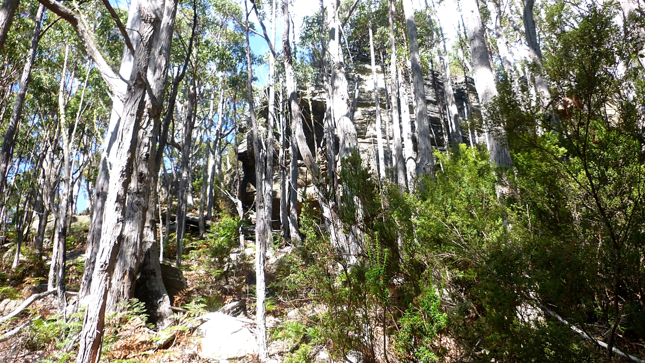
 |
| The cliffs in the distance are part of the Lost World |
The Lost World is an area of large rock falls of enormous blocks which create dangerous deep holes. There is a track marked there and you can reach Big Bend on Pinnacle Road. The blocks have also created caves which can be explored, if you're equipped.
 |
| Distant hills |
We find some more colour to brighten up the day.
After I took these photos, I caught up with the rest who had stopped ahead. I wondered why they were all looking happy. Turns out this was as high as we were going and it was all down hill from here!
 |
| Now we can start going down! |
 |
| Pointing back |
 |
| Now we're on the Hunters Track |
We're heading down to Junction Cabin where we'll have lunch. About another 30 minutes.
 |
| Another scree slope to cross |
 |
| What are they pointing at? |
 |
| Hobart. Home of our caring, intelligent, forward thinking politicians... Sorry, I must have been affected by the altitude, disregard all that |
We continue on, losing altitude all the way.
 |
| More scree to cross |
 |
| Looking up. Hope it's stable |
 |
| Back among the gums |
We reach another feature called Crocodile Rock, a large sandstone promontory.
I don't know who named it, but reading Walk Into History in Southern Tasmania by David Leaman I can't help but agree with his comments and I hope he won't mind if I quote him.
"Whether or not you accept the description rather depends on your sobriety at the time, the angle of approach or general creative imagination."
Works for me.
 |
| Crocodile Rock |
 |
| The bush is quite open now |
 |
| Not far to Junction Cabin now |
After about fifteen minutes, we have the cabin and lunch site in view.
 |
| Junction Cabin |
Every one finds a place either at the table or seat on the other side of the cabin. I have a look inside, and settle there in solitary splendor.
 |
| All to myself, must be something I said |
 |
| Junction Cabin interior |
A couple of transparent panels have been added to the roof since the last time I was here, making the interior much more inviting. The photos above were taken with available light, not flash.
Lunch finished, we continue down the Old Farm fire trail, past Breakneck Track to the turnoff to the Lenah Valley Track where we head for New Town Falls.
 |
| Old Farm fire trail |
 |
| Rock formation above the Lenah Valley Track |
After a while, we reach New Town Falls, but there's not much water.
 |
| New Town Falls |
 |
| It'll be better later in the year |
 |
| Nice track from the other side of the falls |
We continue down the Lenah Valley track until we reach the point where we turned off this morning. Now we retrace our steps down the hill and back to the cars.
We had 11 walkers and covered 11.24km in 4:44hrs. A long steep climb but worth it, especially on a day such as this.
Click here to download GPX file


No comments:
Post a Comment