Today Tas is leading us on a walk from O'May Court around Goat Bluff and back.
The weather is overcast with chance of rain, not much of a chance as it turned out.
Parking at the end of O'May Court, we head south along Gellibrand to pick up the track on the other side.
 |
| South along Gellibrand Drive |
 |
| Start of track |
This heads downhill in a series of switchbacks for the convenience of cyclists who also use these trails. We're on the Storm Bay View Track and in a short while it will live up to its name.
I was at the back of the group and Tas was leading from the front and at one point I could have reached across and shaken his hand as we passed.
Soon we turn left, heading for Calverts Lagoon and also giving us the promised view of Storm Bay.
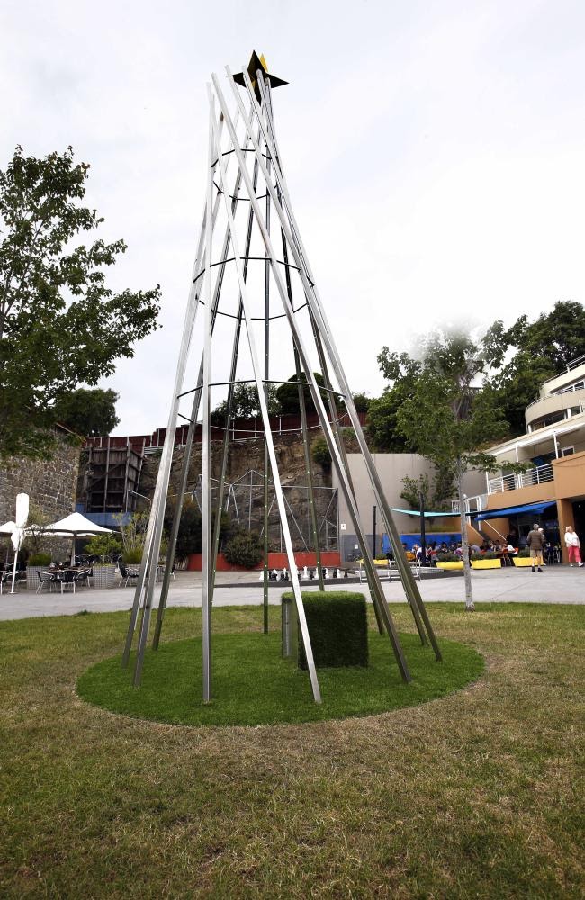
As we head down, a Christmas Tree is pointed out to me. Comparing it to the monstrosity Hobart displayed for the last couple of years, I have to say this one works much better. It also is a fine example of recycling as it appears to be an old windmill tower.
 |
| Hobart Christmas tree. A$35,000 |
 |
| Calverts Lagoon with part of Storm Bay in the distance |
I've tried to find out a little about Calverts Lagoon. You should know it's land locked, brackish and usually dry. To quote from a thesis from 1981
, "A gastropod, Coxiella badgerensis (Johnson), is the only molluscai inhabitant, and it is heavily infected by trematodes throughout the year".
There, I've filled up a little space and we've all learned something.
Moving on, we make our way around the northern side taking a track into the dunes which will give us shelter from a cool breeze as we take Morning Tea.
 |
| Morning Tea |
After our break, we move on, heading for Calverts Beach.
 |
| Calverts Beach and Storm Bay |
 |
Betsey Island (previously known as
Lady Franklin Island, Franklin Island, Betsy Island and Willaumez Island.) |
 |
| Surfs up but no takers |
 |
| Cape Contrariety |
 |
| Goat Bluff |
We make our way from the beach to the car park, then head up a track that will take us to the upper lookout.
 |
| Somewhere down there is a sand mine |
 |
| Betsey Island and Black Jack Rocks |
For those who didn't know about the parking of the ferry in 1994. As an accident it actually provided great publicity for Incat.
 |
| Ferry stop. 1994 |
Leaving the lookout and the car park, we make our way along some bush tracks, heading south west. We have a short walk along South Arm Road until we reach Ralphs Bay to make our way onto the beach, heading north.
It's a strange light now as clouds have moved in. We're looking for a lunch spot around the corner, out of the cool breeze.
 |
| Looking north |
 |
| This beach appears to have no name. I've looked on several maps and nothing appears. |
 |
| Gail reminded me to take the obligatory photo of Mt. Wellington |
That's it with the cloud on top.
 |
| Looking inland from the beach, there is a track in there that might make a change for a future walk |
 |
| This beach is covered with many small shells |
Around the next corner, we find a sheltered spot for lunch with plenty of seating.
 |
| As befits my station with the group, this was provided for my use during lunch... |
 |
| Photos by Renate |
 |
| ...the others had to make do with what nature provided. |
 |
| Lunch. Photo by Renate |
 |
| Many small shells produce an interesting surface |
Lunch finished, we move on around the coast along a small beach before climbing up and taking the Mortimer Bay track.
 |
| The tide is out |
 |
| Occasionally we see some blue sky |
We make our way back to O'May Court and the cars.
The weather held off, the views were great, it wasn't cold, in other words it was a great walk.
We had 13 walkers and covered 10.09km in 3:30hrs.
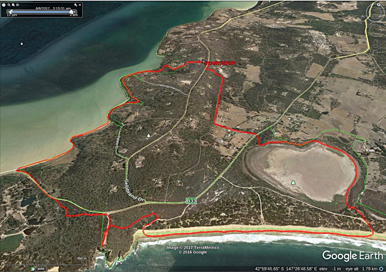
Click here to download GPX file


Great photos Jack
ReplyDelete