Today we're travelling to Oatlands to walk the path to Parattah. This will take us past Lake Dulverton, along some of the old Oatlands - Parattah railway line and beside the Tunnack Road.
The weather is wet as we gather for our trip up, but the further north we travel, the bluer the sky becomes. On arrival there is sunshine, but there is a strong, cold wind blowing. I say cold, but I didn't feel the need for gloves and I hoped we would eventually find some shelter.
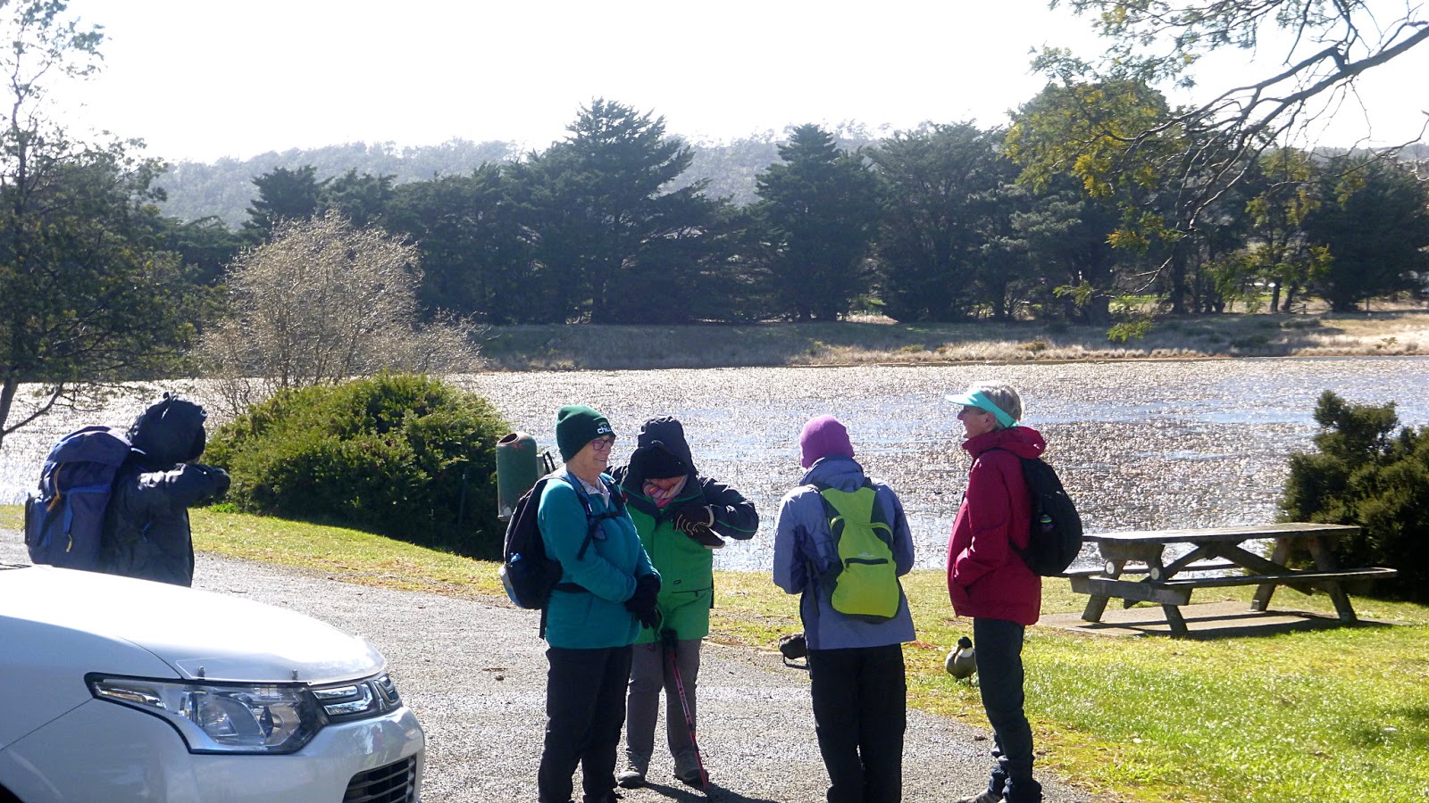
Parking next to Lake Dulverton, we gear up and set off.
 |
| Lake Dulverton |
 |
| Ready for the off |
 |
| Unusual topiary |
The large animal on the right appears to be a bear. I would say it's a fair while, if not never that bears have lived in Tassie. I suppose they might be cohabiting with the Tassie Tiger.
I should point out at this point that Peter and I are the only males present. We finish closing up the cars and getting ready to discover...we're alone. The only sign of the girls is a thin wisp of smoke left by the speed of their departure.
We rush off and catch a glimpse of them in the distance.
 |
| You can see how bad the weather was |
 |
| Oatlands has many sandstone buildings |
The stone came from quarries around Lake Dulverton. The lake is 233 hectares and is part recreational and part nature conservation reserve of nearly 200 hectares. It's certainly popular with the water birds.
 |
| A diminutive visitor. Wonder where the saucer is? |
 |
| Looking back |
 |
| Across the lake to the north |
Much of that side of the lake is privately owned, I hope one day they are able to take the track completely around the lake.
There is a cave on the other side called Bradys Cave and I suppose it has some relation to the bushranger, Matthew Brady. I've not been able to find anything with a quick look online.
I've did manage to find a photo looking out of the cave. It's an old postcard.
Oatlands started in 1821 as an military base to manage and control the convicts assigned to both public and private work in the area. Most of the public buildings were built with local sandstone by convicts. It's said that Oatlands has more sandstone buildings in a village setting than any where else in Australia.
 |
| Callington Mill |
The mill was built by Cornishman John Vincent in 1836-7. They emigrated from England with seven children and had two more here. I reckon his wife wanted him kept busy elsewhere and building the mill seemed a good idea.
It's still working today.
 |
| Marys Island |
A small island that can be reached when the water level is down. Named after the wife of Thomas Anstey, Oatlands first magistrate, appointed in 1827.
Back to the walk. Peter and I are still trying to catchup with the rest and I, having forgotten my whistle, managed to bellow loud enough to stop them for Morning Tea. The wind was still strong and this seemed to be the best site for shelter.
 |
| Morning Tea |
 |
| Early weatherboard cottage being restored in the distance |
Tea finished, we move on. You can download information and maps that will explain the various numbered posts at each point of interest.
 |
| Mahers Point Cottage, c.1830-1840 |
Dennis Maher lived here later and worked as a guard at the Oatlands Goal. He was one of 500 Chelsea military pensioners brought from Britain to Tasmania 1850-52 and offered small blocks of land around the lake if they'd stay. As part of their pension agreement they acted as guards at the Oatlands Goal. Five hundred sounds a lot though, I think they would have been spread around Tasmania as guards.
 |
| Commemorating the Oatlands-Parattah line |
Originally the Oatlands Tramway, it was opened May 13, 1885 and closed June 10, 1949. It was upgraded from a tramway to a standard light railway to enable heaver rolling stock to be used.
 |
| General and Catholic Cemeteries |
 |
| Vintage cottage with vintage Ford Falcon ute beyond graveyard |
Shortly we find a more basic, more down to earth display then any we've seen so far, but a symbol of progress all the same.
I'll put the text of the interpretive sign below.
HAWTHORN
BAY – NIGHT CART PANS
The night
cart/toilet pans were discarded at this location when septic tank
systems were installed in the Oatlands township during the 1950s.
In 2008 the area was
cleared for the walking track and the pans were re-discovered under a
heavy broom weed infestation. The decision was made to leave the pans
as found, in recognition of their past role.
In April, 1922, the
Oatlands Council commenced a ‘sanitary service’ to address the
Public Health Department concerns about the ‘improper disposal’
of effluent from resident outhouses.
Thomas Berry was
awarded the first contract to remove sanitary pans and was paid 6d.
(pence) for each pan he collected. He used his own horse and a wagon
that had been purchased by the Council at a cost of 60 pounds.
For the next 30
years night cart pan collectors like Thomas Berry and Arthur ‘Boody”
Clark would visit residents outhouses once a week to take the full
toilet pans away and replace them with empty ones.
In the paddocks
around Hawthorn Bay a horse drawn plough was used to make furrows and
the contents of the pans would be tipped into these furrows and
covered with soil. In later years, good potatoes were grown in the
highly fertile area.
Well, that answers that question. Must have been a fun job in the summer.
The next point of interest is where there was a Flax Mill as part of
the war effort in WWII. One of 38 in Australia they supplied fibre
requirements to both Australia and Britain during the war.
On we go and I fall behind the others as I take photos. The track is gravelled giving easy walking as we travel parallel to Tunnack Road. Homes are spread out now, but we do see some locals.
 |
| They galloped quite a distance to gawk at us... |
 |
| ...the mob on the other side could care less |
 |
| Much of this is open country now |
But it wasn't always this open.
 |
| The track |
 |
| There were far more trees in the distant past |
 |
| Sandstone culvert of old railway |
 |
| Large rock formations |
Peter and I spotted a building completely alone off in the distance at the bottom of a small hill. Was it sandstone? The telephoto below gives the answer.
 |
| Sandstone with a hand split shingle roof. Most likely convict built. |
Our next attraction is the base of a fairly large Macrocarpa tree one of two planted in the late 1800s.
 |
| Macrocarpa stump |
 |
| Herd of deer |
 |
| Parattah city limits |
We make our way in past the Methodist church which is a private dwelling now, up the main street.
 |
| We pass what was the general store |
It's not open for anything except to display its present owners lack of taste and much junk.
 |
| Solar panels, someone's in for the long haul |
 |
| Hopefully, one day these will all be restored |
 |
| Old village hall |
I suppose it's still used sometimes. A sign on the side points out public toilets, a local attraction that should be missed by the accounts of some of our group who had a look.
 |
| I assume most of the main street had this sort of paving at one time |
We're looking for a lunch spot. Railway Station or the Recreation Ground. We walk to the ground but the wind is coming up again and the expected grandstand has been removed.
As an aside, the two photos below are a challenge to our readers to point out what's wrong.
You don't have to be an Australian Rules expert, just notice the difference.
 |
| Near end |
 |
| Far end |
The winner is the first to point out the problem. As a reward you get the satisfaction of being right. Don't feel too chuffed, just remember your life has come down to this.
We return to the Railway Station which, although it's on the working South Line which is the main link between Hobart and Launceston, is closed. This happened when passenger traffic ceased in 1978. There were some TasRail employees working on site but we found some sheltered picnic tables at one end for lunch.
The closed Parattah Hotel is just behind the station. When passenger trains did run, people leaving Hobart would have let the station master there know what their refreshment requirements were and these were telegraphed to the Parattah station master who delivered them to the Hotel just behind to be ready when the train arrived.
 |
| Looking north |
 |
| Station on left and cargo crane on right |
 |
| Parattah Hotel built 1879. Formerly the Midlands Railway Hotel |
Lunch finished, we set off back along the track to Oatlands.
 |
| Once kept horse teams and other livestock watered |
 |
| Just to show we hadn't forgotten Bob who wasn't on the walk today, I was requested to take this photo of his favourite animals |
We pass a goat herd on the way back and Billy comes over to the fence to check us out. Years ago we had a female goat who was quite affectionate, but I didn't know what to expect from a male.
Gingerly putting my hand over the fence, Billy proved to be a wuss and offered me his cheek to scratch, which I did and between his horns which he enjoyed.
 |
| Billy, who turned out to be a softy |
New friend made we continue on, next passing the deer farm.
 |
| He has the biggest rack so I assume he's boss |
We pass the property called Bellevue in the distance at the top of the lake. The original homestead from c1845 was destroyed by fire in 2008, but the old barn remains.
 |
| Convict built at property 'Bellevue' |
We're making our way back around the lake now and Peter has just got off his mobile phone to say that it's "Pouring in Hobart!".
 |
| Well, it's not pouring at Oatlands |
We return to the cars and make our way back to Hobart.
A very interesting walk and one I'd like a little more time to poke around some of the surrounding attractions next time.
We had 8 walkers and covered 16.27km in 4.12hrs. A bit fast, I hit 5.94km/hr at one point catching up after taking photos.
Despite the wind in places it really was a good day. We left Parattah at 1330 on foot and were back in Kingston and parked at about 1600.


No comments:
Post a Comment