Today we're taking a new walk at Austins Ferry led by Bob.
The weather is not great with drizzle and low cloud. I arrive at our meeting point in Kingston and only one car is there before me. Not looking good.
After a while a couple of others show up and park. Another turns up but decides to just do a drive through and give it a miss for this week. In order to spare her any embarrassment, I'll just refer to her by the name of 'Lorna'.
Those of us left have a quick discussion, deciding to go ahead as the weather to the north looks better.
So all
5 OF US pile into one car and set off. Hence forth this group will be known as
'THE 'A' TEAM'.
We make our way to the start of the walk where we park just off Mason Street in a small car park for Roseneath Park.
It's a light drizzle here and I almost make the decision not to put on my spray jacket. In the end I did wear it and a good thing too.
 |
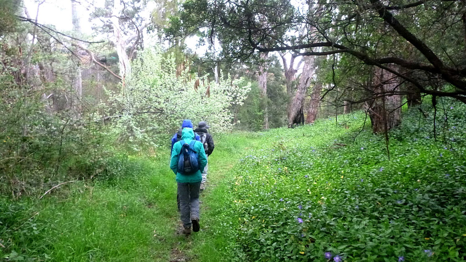
| Rain? What rain? Four of the 'A' Team |
We set off, crossing the Roseneath Rivulet on a small foot bridge.
 |
| Poor excuse for a rivulet |
We head left, along a track that Sally took us on back in 2016, although we started that walk by Goulds Lagoon.
We're walking parallel to the rivulet and come upon the strange sight in the photo below.
 |
| Actually taken in 2016, but it's not changed since then |
A bit farther on is this sign.
This is for Disc Golf, run by the Australian Disc Golf group. They represent the Australian Flying Disc Association with 3000 members and the Professional Disc Golf Association with 10000 members world wide.
Back in March they held the
Two Heads Open over two days here, which is the state championships for Tasmania.
Now you know.
We continue on until we strike the first (and really only) hill.
 |
| Looking down |
 |
| But wait, there's more |
 |
| Plenty of wet weather around |
We continue on, reaching the top of of a hill Sally brought us up before, although by a slightly different route.
 |
| River Derwent in the distance |
|
|
There is a crane here and a couple of blokes at the top of a tower are installing another mobile phone link.
 |
| New phone tower |
An area below has been taped off barring entry. Bob had plans of accessing a track from there so we had to scout around to find another way. Just below the worksite there was an old wire fence that was easy to step over and we were back on track.
 |
| This is all part of the Poimena Reserve |
We make our way around and down through the light bush before coming out next to Hilton Road which runs parallel to the Brooker Highway. We turn right to follow it to a junction of Hilton, Upper Hilton and Arncliffe Roads.
 |
| Hilton Road |
 |
| Weather delightful, road signs numerous |
We cross over by the signs and begin walking down. It's been a while since the grass was mowed and it takes just a couple of seconds to be wet to the knees.
 |
| The grass doesn't look very long here. It is |
We follow it for just over a kilometre along the back fence of the housing development until we reach a place where we can turn right, heading for Goulds Lagoon.
The rain has become harder which is making it tough to choose a spot for Morning Tea. Finally we spot a group of trees that promise some shelter and make our stop.
It's not too bad, but leave it to Bob to find the driest spot!
 |
| Morning Tea. Bob has the best spot |
Afterwards, we continue on to the lagoon.
 |
| Sign of things to come |
 |
| Goulds Lagoon. This became a sanctuary in 1938 at the request of it's owner, Arthur Gould |
We cross over Main Road and walk south before crossing over the Railway line. This takes us to a gate that was just an old farm gate back in 2016, but is now a locked gate with a pedestrian access.
Now we walk around an unnamed point and find an exit leading up to the Railway line.
 |
| Small unnamed bay |
 |
| Up to the railway line and head left |
We follow the line for a short distance before heading right onto dirt tracks.
This is a desolate area full of industrial junk and rubbish. What a waste of land. Just using a rough measurement, there are around 35 hectares here.
Back in 2016 there were a number of large, empty buildings including the old mill. These still appear on maps, but all appear to have been knocked down.
You can have a look at the previous blog on Sally's walk by
CLICKING HERE
We did find a couple of the sawdust burners lying on the ground that I recognize from back in 2016.
 |
| Waste land |
 |
| We make our escape at the southern edge and follow this track around |
It eventually takes us to a public right of way between houses at the end of Wendourie Parade.
Following the Parade, we turnoff downhill to make our way to Austins Ferry Bay.
 |
| Austins Ferry Bay |
 |
| As it was |
James Austin was transported to Van Diemens Land for stealing beehives and honey. After his release he was granted 30 acres on the River Derwent at this site.
He was no dummy and you can read his story if you
CLICK HERE
Heading towards Austin's Cottage, some of the group were excited to see the only other walkers we had encountered so far.
 |
| No packs, so not real walkers |
Excitement over, we stop and look at James Austin's old cottage.
 |
| James Austins Cottage |
More excitement when we look at the sky and see signs of better weather to come.
 |
| The rain has eased and if you look very closely a little patch of blue sky appears in the centre |
The rain has eased some what, but I couldn't be any wetter if I jumped into Goulds Lagoon. Bob gives us a choice of continuing on, or saving the rest of the walk for another sunnier day. It doesn't really look as improvement is going to take place anytime soon, so we head back towards the cars.
Crossing the road and entering Roseneath Park from another direction, we take advantage of a shelter and picnic tables to have lunch.
Afterwards, we follow the path over another footbridge over the rivulet and return the short distance to the car.
 |
| This old sandstone, possibly convict built bridge spans the rivulet and is hidden by the modern road on top |
 |
| Over the bridge and back to the car |
We had 5 walkers and covered 7.98kms in 2:53hrs. We were soaked but had fun. We'll do the full walk in the sunshine in the future.
Click here to download GPX file
 |
| Notice the long, steep black line at the left hand end. This was that first hill |


No comments:
Post a Comment