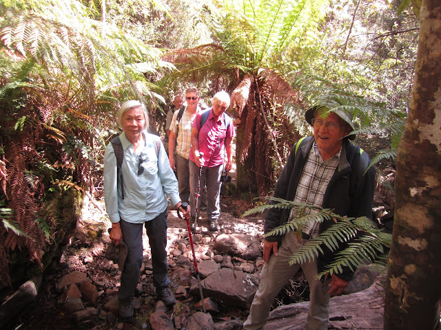
Today's leader Mendelt did an excellent job in arranging the weather - forecast is for a sunny day with a temperature in the mid 20's and no wind.
Its been a while since we last did this walk so to most of the 15 walkers this will be a new experience.
We start at the usual location at the Myrtle Forest car park.
What's this - Mendelt has produced a map and has a captivated audience as he explains the details of today's walk.
Off we go - the first section of about 800m is very comfortable Myrtle Forest Road to the picnic area.
Just past the shelter the track begins and the vegetation becomes very lush with abundance of all sorts of ferns.
We soon reach the Myrtle Forest Falls
After enjoying a short break at the falls we continue climbing towards our morning tea site
The junction of Collins Bonnet, Collins Cap and Myrtle Forest trails was a perfect spot to have morning tea.
While we were here a runner came along - he explained that he started at Fern
Tree Tavern, ran over the mountain, was going along to the start of the Myrtle Forest track and then eventually making his way to Willie Smiths apple shed at Grove. I don't know the exact route he took but plotting a likely one on a map he would have to cover over 45 kms while climbing over 1900 metres often on rough tracks. What an exceptional feat.
After morning tea we take the Collins Cap track - the climb continues
As vegetation changes to dry, and is obviously regenerating after a fire, we reach the Collins Cap Trail
After a short rest we begin the last leg to Collins Cap - it promises to be steep in parts and rocky.
Collins Bonnet in the background. Also the Collins Cap Trail can clearly be seen
Mendelt and Chris enjoying the climb
Getting close to the top now
View from near the top
Lunch with a view
The new sleeping beauty of Mt Wellington
We start our decent
A short rest - its quite warm now
During the walk today we passed lots of wildflowers - here is an assortment
A view of Collins Cap from the car on the way home
Today 15 walkers covered 7kms and climbed 650m in 5.5 hours. The elevation map shows that the walk was all uphill on the way out and down for the return.
Thanks to Ingrid, Mendelt and Chris for their photos.
Click on this link to download GPX file


.jpg)


.jpg)


.jpg)


.jpg)
.jpg)
.jpg)
.jpg)
.jpg)

.jpg)
.jpg)
.jpg)


No comments:
Post a Comment