Today we're parking in Kettering and taking the ferry to Bruny Island as foot passengers to start a walk to Umbrella Point. The weather's so so but not raining (yet). Sally is our leader.
As pedestrians we travel for free on the ferry which is always good. The walk starts just past the ferry terminal shop on Bruny where there is a small gate in the fence. This is private land but appears the owner isn't worried about walkers as there is a prominent track across the paddock.
 |
| Walking up from Woodbridge, I can see the ferry docked at the Bruny Island Terminal in the distance |
 |
| Umbrella Point is the bit of land with the 3 or 4 trees on it. What appears to be a low island is actually a fish farm. |
 |
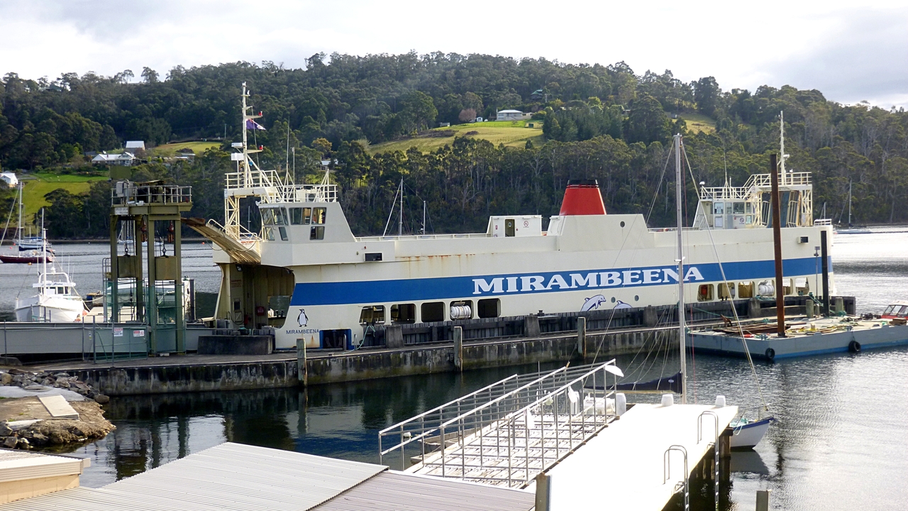
| The Bruny Island ferry |
 |
| We've landed and are heading for the gate |
 |
| Immediately our birdwatchers spot a wedge-tailed Eagle. Or so they said, I only saw a wattle bird! |
 |
| Looking south |
 |
| The first beach |
After crossing the private land we come to an area where subdivision has occurred and a good right of way has been created next to the shore.
There are a couple of homes here, and several new ones under construction. They certainly have a good view across the D'Entrecasteaux Channel, named after the French explorer Joseph-Antoine Raymond Bruny D'Entrecasteaux (1739-1793), admiral and navigator.
 |
| Under construction |
 |
| Looking towards Woodbridge Hill |
 |
| Another one |
 |
| Apollo Bay, Bruny Island |
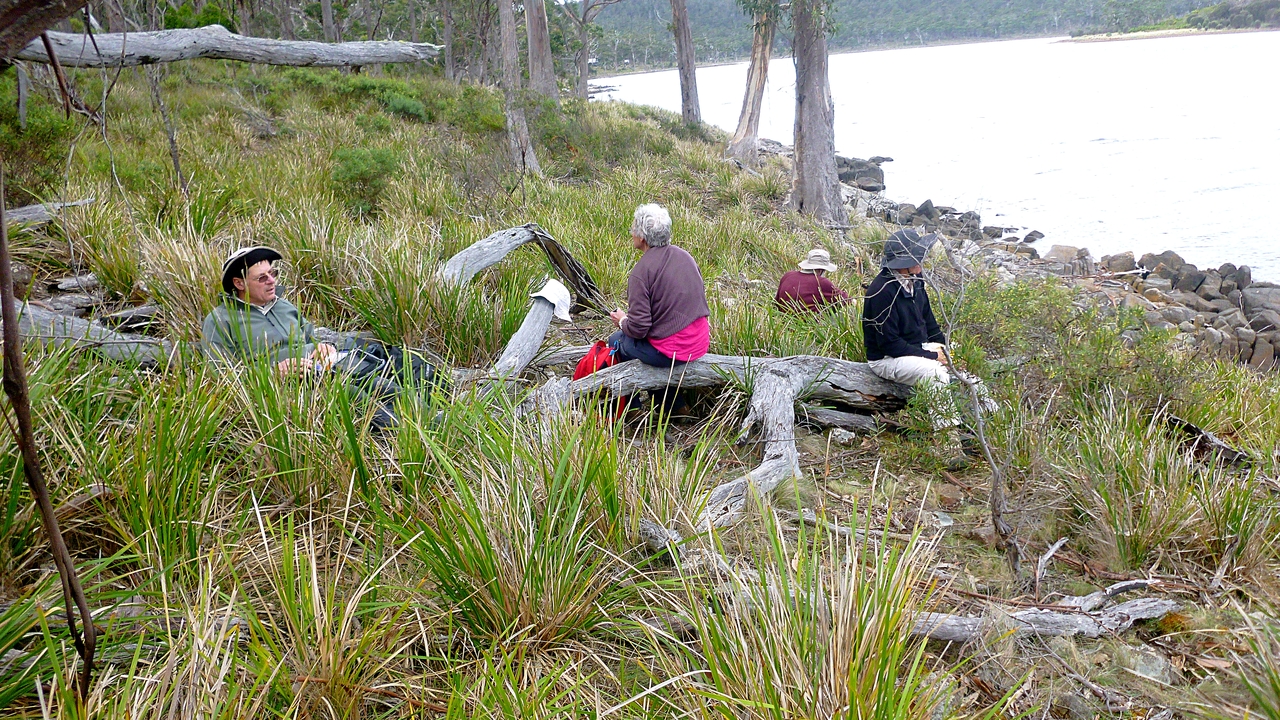
It's getting close to Morning Tea and Sally decided to stop. There was some discussion among some of the walkers concerned that; 1. Bob was back and 2. It was early. I was requested by the group to include a photo of my watch to back up their claims, which I did. All I can say is "Picky! Picky!
Sally had chosen this spot because it had adequate seating, which is good.
 |
| Seven minutes early! |
 |
| Morning Tea |
 |
| You can't keep a good gum down |
Tea finished, we continue on to the end of the Apollo Bay beach and take a short track up to Apollo Bay Rd., turning right.
 |
Invigorated by our break, Peggy, Ron and Peter stride out
|
 |
| All along this public right of way, there has been considerable planting of natives |
 |
| Up to start a bit of road walking |
There are a number of shacks along this road on the water side. I should explain to other than Tassie readers that a 'shack' is a holiday home and can run from an old caravan or basic one room box up to a couple of million dollars.
Some of them have interesting objects in their gardens.
 |
| Doctor Who's holiday phone box? |
While walking along we have a surprise when Bob meets his long lost brother who's holidaying on Bruny from Queensland. What a coincidence! You can see the family resemblance.
 |
| Bob and his long lost brother |
Shortly after this reunion. we turn off onto Lowes Road, following it up and over a hill to a turnoff leading to the shore. Here we go right along the rocks to Umbrella Point.
 |
| Heading for the shore |
 |
| Lowes Rd. continues on, but not for long |
 |
| There's a good stand of tall gums here |
 |
| We reach a little bay that seems to have no name and turn right to Umbrella Point |
 |
| There are a couple of shacks and a caravan on this little bay |
 |
| Umbrella Point |
 |
| Southern view |
We've been here before and it's good to walk around the point and enjoy the views. Last time we watched a seal play with a salmon from the fish farm, today no sign of wild life in the water.
 |
| Looking west |
 |
| Woodbridge. If only I could walk on water |
 |
| South Bruny in the distance and the fish farm just in front of us |
 |
| We return back along the stony beach |
Now, as Sally says, we go off into unknown territory, around the other side of the little bay and off along the coast line.
 |
| Shortly after going feral, we spot this interesting residence in the bush |
 |
| We continue on and the ground gives way to lots of cutting grass and hidden rocks. Along the way, a couple of walkers suffer falls. Fortunately, no harm was done and they didn't require putting down |
It's getting to be that time, so we look for a good place to have lunch.
 |
| Looking back fondly at Umbrella Point |
 |
| We heard the chug of a boat and this one appeared. I see it often from home as it services the various fish farms in the channel |
 |
| Lunch spot found, Ron can relax now |
 |
| The boat has arrived at the farm and is doing whatever it's supposed to be doing. Looks a little black in the south |
Lunch finished, we continue on as Sally assures us she's following a map. We'll take her word for it! Along the way we pass several more houses and camps. I had no idea there was this much development here.
 |
| We're having lunch on Snake Bay, and that's Snake Island in front of us |
 |
| Continuing on after our break, we find this construction on the beach. Surely the most basic shack yet! |
 |
| Another bush home... |
 |
| ...and another under construction |
The builders were very interested in our passing by.
 |
| Along another beach |
 |
| The eastern side of Snake Island |
We eventually turn inland to find our return route out. Along the way we come across a rarity in the bush.
 |
| A bit of beach colour |
 |
| We've turned inland now |
Passing below a very well set up property - wind, solar power, neat grounds and outbuildings - we find the surprise I mentioned above in the bush.
 |
| Who would have expected to find a Tasmanian Tiger here? |
For others in the world reading this, the Thylacine, also known as the Tasmanian Tiger or Tasmanian Wolf is presumed extinct, the last one having died in a Hobart Zoo in 1936. To see what this animal really looked like
Click Here.
I shall digress here as there's much controversy regarding its extinction. Some people believe it still exists in the southwest wilderness of Tasmania. I can only say that as a teenager our son worked for a beekeeper helping attend his hives in the southwest. This was a sober, honest and hardworking gentleman who said he'd seen the tiger and knew where they lived. He wouldn't go further than that because he knew what would happen to the animal if its location became known. Who knows? But I have my opinion.
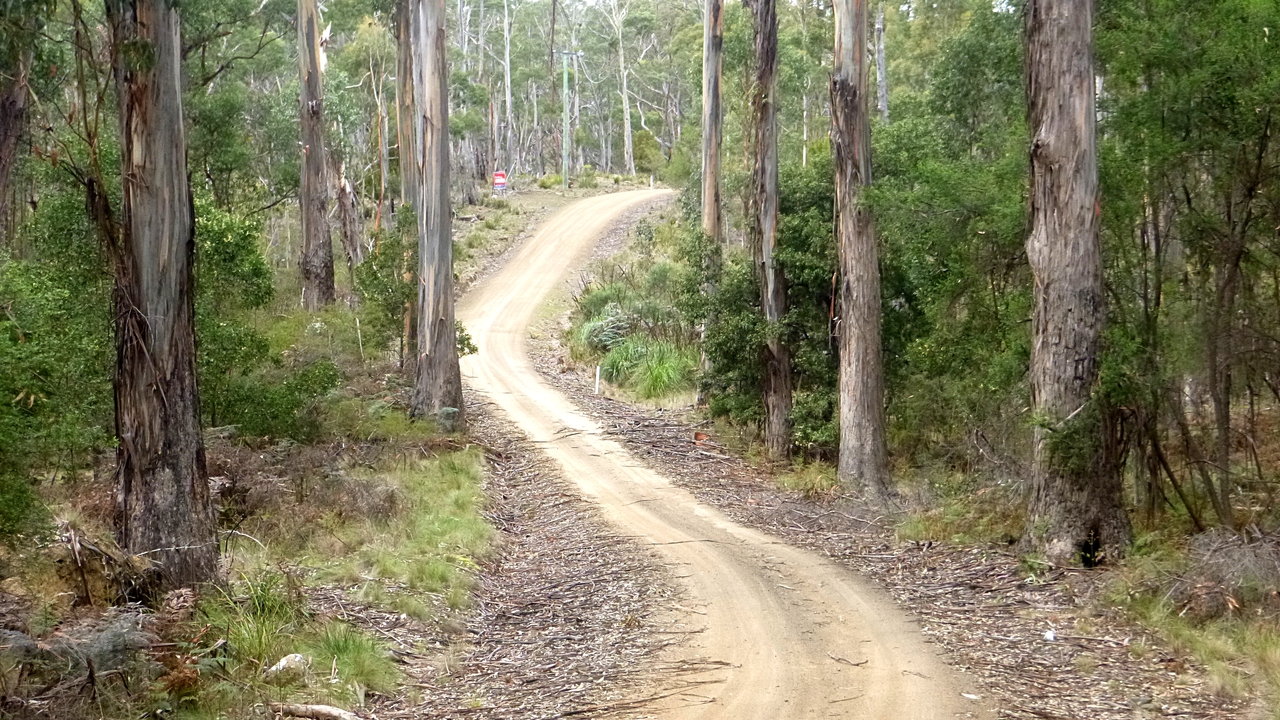
Back to the walk. We reach Pybus Rd. turning right for a short walk to Mulcahys Rd. This will lead us back to Apollo Bay Rd. and our return to the ferry terminal.
 |
| Back to civilization with road sign and electrickery |
 |
| About to board the return ferry |
One of our favourite things about coming to Bruny is it gives everyone the chance to stop in the terminal shop and buy an ice cream!
On the ferry I can see weather moving from the south which doesn't bode well for my walk back to Woodbridge.
 |
| Just a bit of cloud |
 |
| Just a bit of cloud obscuring the coast |
 |
| I'm sure the ferry captain knows where the terminal is |
 |
| Cowering bushwalkers hiding from the weather! |
On arrival at Kettering it was still raining, but not heavily so I decided to put on my wet weather coat and chance walking home. Thanks to everyone who offered a ride, but in the end it wasn't needed. Five minutes around the point the sun came out and it didn't rain until I hit the outskirts of Woodbridge.
Also, if I had accepted a ride I would have missed picking up the $2 coin along side the road. That made the Bruny ice cream much cheaper!
We had 11 walkers and covered 10.94km in 3.59hrs. I covered 20.5km in 6.20hrs.
Click here to download GPX file.