The quotation above will become clear later in the article. I've kept it anonymous to protect reputations.
Today we're walking down at South Arm and are being led by Tas. We've walked down here several times before, but this promises to be a new one.
The weather is overcast, but no threat of rain and a good temperature for walking.
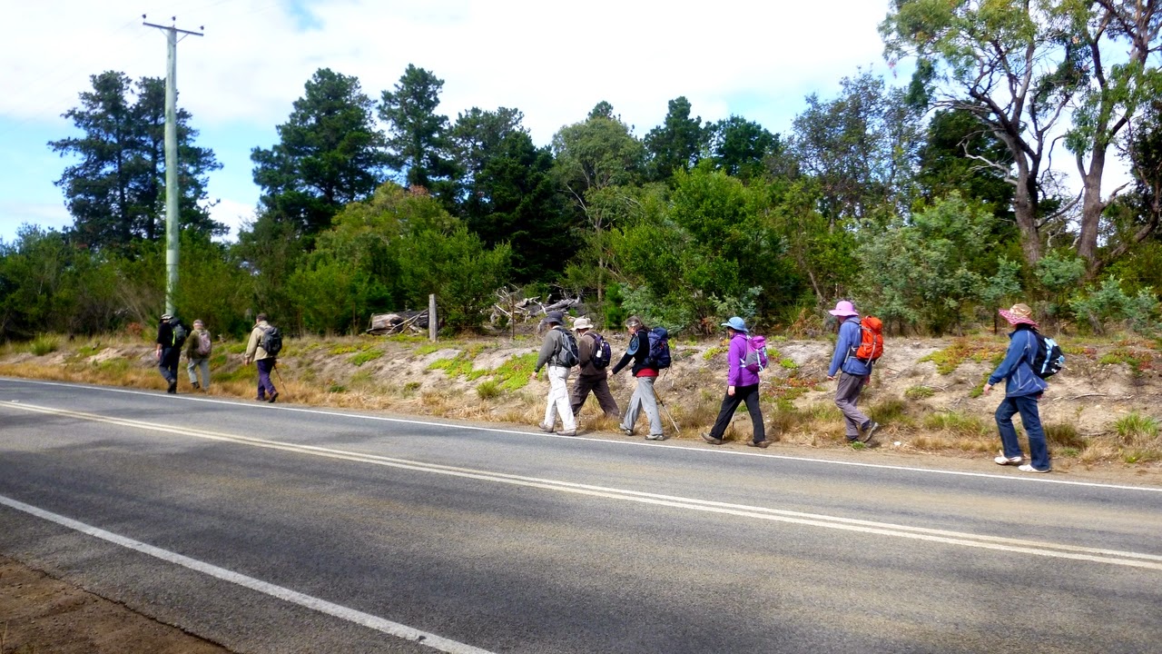
We meet at the junction of Sabre Place and Gellibrand Drive where there is plenty of space to park. After gearing up, we walk downhill (Bob was quite upset) which is unusual for us. I mean, we ALWAYS walk uphill at the start!
It's just a short walk before we turnoff into the bush. We're walking at the bottom of properties here, and one of Bob's friends (4 footed, black with a collar and a large WOOF!) welcomes us. The track is sandy, the bush is dry and the walking is easy.
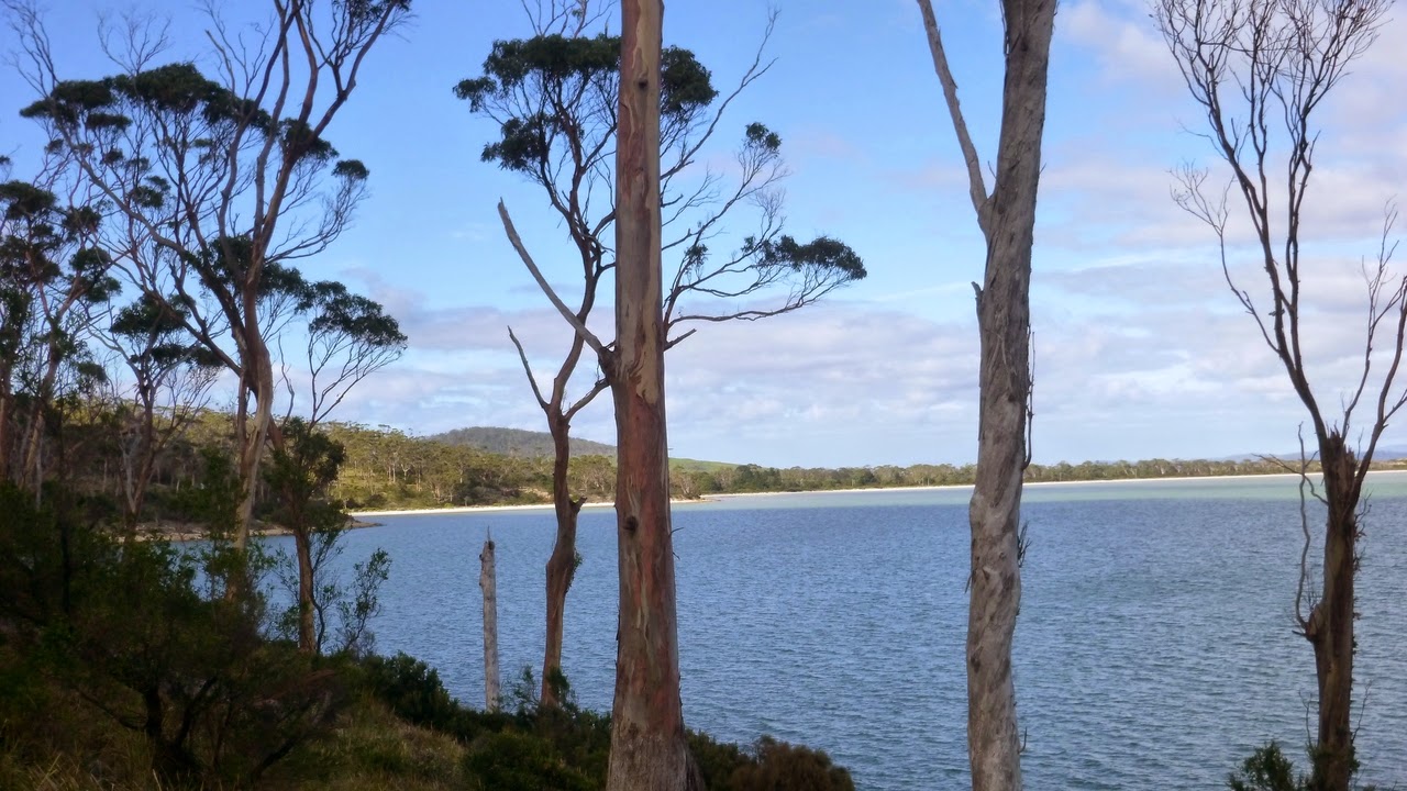
As we wend our way down, we come to a small bay and continue along the edge above the water.
Walking along we spot the distant coastline and come upon a white, deserted beach.
 |
| First small bay, I assume it's Mortimer Bay |
 |
| We can just see Hobart with a telephoto. The Tasman Bridge just visible on the right |
 |
| Mt. Wellington shrouded in cloud |
 |
| White beaches along the coast line |
 |
| Empty white beach |
We continue on and begin to look for a place for Morning Tea.
 |
| Moving on |
 |
| The track leads us down to the rocky shore |
 |
| Good project for someone |
 |
| Around the corner... |
 |
| ...and it's Morning Tea |
 |
| The view |
 |
| Playing about with my camera, I took a picture of these structures |
 |
| This is what they look like from above. They're more impressive from below |
Morning Tea finished, we move off with some encouragement from Bob, and continue along the beach. This takes us to the South Arm Road, where we cross to walk a little way before diving off into the bush again.
 |
| These small shells are what the beach is made of |
 |
| Pied Oystercatchers off shore |
 |
| Not one of its better days |
 |
| South Arm Road |
 |
| On the way we pass a property and Carol spots a sign saying "PRIVATE RESIDENTS' do you think they meant "RESIDENCE"? |
 |
| Off we go |
Leaving the viewing area, we take a track that goes down to Calverts
Beach where we find some surfers trying to catch a few waves.
 |
| Calverts Beach |
 |
| The track |
On the way we pass some plant life that's begging to have its photo taken.
 |
| Interesting gum tree |
 |
| Native cherry, I think |
 |
| Banksia |
 |
| There's some surf and you can see a couple of heads in the water |
 |
| Side of Goat Bluff |
 |
| We continue up the beach for our next turnoff |
 |
| Some of us tap into their inner child |
 |
| Through the dunes to another little car park. |
After leaving the beach, we walk back to another gravel road and along a little way before dropping down onto Calvert Lagoon. We follow the edge to find a place for lunch, and it takes a while to find a good one. It has to be out of the breeze with some comfortable sitting spots.
 |
| Small parking circle |
 |
| Calverts Lagoon |
 |
| The red and green is samphire |
 |
| It's a pretty dry lagoon |
 |
| We finally found a spot for lunch. Who's hiding behind that bush? |
 |
| It's Peter. Nice try |
Looking around the area I spotted this feather and the tiny red flowers on the plant it was lying near.
After lunch we continued around until we found the jumping off point. This is where the quote at the beginning becomes relevant. We start off along a track but we actually want to get to the other side of South Arm Road. Unfortunately, we can find no way to get across the fairly sturdy wire fence, so we turn back and try to find another route.
Since I'm writing this, you can assume we were successful! We walk along the road for a short while looking for a 'red thing' which we find, and is right next to the beginning of the track we want.
 |
| Anti horse? |
 |
| Now we're heading in the right direction! |
 |
| Yuppie sheep |
 |
| At last! the 'red thing'... |
 |
| ...and the track |
Now Bob's happy as we finally get to walk up hill. It's only a little way though, until we turn off on a level track along the side of the slope. We had a couple of locals cheering us up the hill.
 |
| Well, they're not actually that enthusiastic |
 |
| Calverts Lagoon |
 |
| The flat path |
After about 800-900 metres, the track goes uphill in a series of switchbacks. You can see it once ran straight up, but there was surprisingly little interest in that.
Once at the top, we turned right and walked back to the cars.
This was a good and interesting walk and everyone enjoyed it.
We had 13 walkers and covered 13.8km in 4:05 hours.


No comments:
Post a Comment