Today we're walking the wilds of Margate, led by Sally.
The past several days were full of rain, wind & snow (if you lived high enough), so the prospects for today weren't good.
However, Tas has arrived back from his holiday and quickly fixed Tuesday's weather. So it was cloudy with spots of sun and no rain or wind.
We parked at the Margate Hall and began to get geared up. Now, my habit is to put my various bits (technical) on the bonnet of my car to log into GPS satellites. In the meantime I get my pack on and get set to go. I looked around and could see others getting ready, so I walked up and picked up my GPS tracker & phone, checked they were running and put them into my pocket. This took less then a minute.
In that short time everyone disappeared. I'm surprised I didn't feel a draft of wind as they scurried away. I looked up Van Morey Rd. No one. I looked down the Channel Highway. No one. I went back and looked through the small gap between the oval fence and the hall and there they were - halfway across Margate oval.
Now I know Sally had given us some instructions, but I'm a bloke and I don't read instructions let alone listen to them. So in future all leaders please remember that!
 |
| They weren't exactly running, just moving very fast. |
 |
| Margate Tramway |
 |
| Looking south east at Meredith's farm |
 |
| Margate Tramway |
 |
| Looking north at Mt. Wellington. Some patches of snow visible |
Having caught up with them we walked down and started on the Margate Tramway Track, which leads between Meredith's Orchard and several houses. It's also popular with horse riders, so watch your feet.
After a while, we turned up Englefield Drive to Frosts Rd., turning left. A little way along we came to a drive that was next to the path we were taking to the top of Harts Hill. I always wanted to get here. Now, thanks to Sally, I have.
 |
| Frosts Road |
 |
| Up to Harts Hill |
 |
| Looking west |
 |
| North West Bay |
Sally had promised us a good view of the Baretta Waste Management Facility, or as I have known it for years, the Margate Tip. You can just make it out left of centre. It's a far cry from the days when it was an unmanned tip where you had to be careful of tossing something disgusting on a scavenger or getting stuck in the mud in the winter. Ah, the good old days.
Back to the walk. There is a seat next to the Trig Point that gives good views on a nice day.
 |
| Heading for the Trig Point at the top |
 |
| Panorama looking west |
 |
| First day back and Tas is already reestablishing his authority |
 |
| Panorama looking west |
 |
| Overlooking Margate |
Soon we move off and pick up a very slippery track leading down in the direction of the Channel Hwy. On the way we pass a house and garden with some pretty plantings.
 |
| Slippery when wet, so take care |
 |
| Hanging over fence from someone's garden, complete with bees |
We continued down until we came to a marker where we turned right. More views as we walked down again to the Baretta reserve.
 |
| Better view of the tip |
 |
| Coningham in the distance where we walked a couple of weeks ago |
 |
| The trees mark the reserve |
 |
| There's a marked track here |
The reserve is open, dry bush with numerous tracks both marked and unmarked in it. It's not large, so you couldn't get lost.
While walking I saw a group ahead calling back to me. Something was on the track that required my photographic attention. Arriving I heard someone say "There's nothing like that on my Iphone App." After a closer look, I'm not surprised!
Judge for yourself.
 |
| Not native for sure. Definitely an introduced species |
 |
| I'm pretty sure no princess would kiss that face |
 |
| Meanwhile, the others had moved off in search of Morning Tea |
They found a clearing with some seating that was adequate for Morning Tea.
 |
| Morning Tea. Never mind Peter, no one will recognize you from that angle |
After our break, we made our way along to the Channel Hwy to cross and pick up the start of the Dave Burrows Walk. This will wind about the coastline, but is not a long track.
 |
| Where? Where? |
 |
| Oh. There |
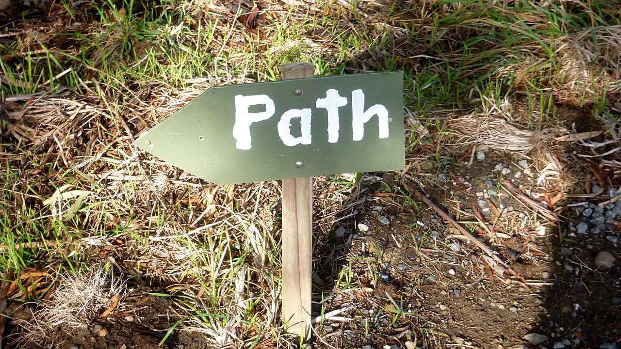
 |
| Certainly needs two signs |
Having safely found the start of the track, we walk down through light bush to the shore line, then along to the north. It's flat walking now, not a hill in sight.
 |
| Swan family drinking from a small fresh water creek running onto the beach |
 |
| Another entrance to the walk |
 |
| They really want you to enjoy yourself! |
I nearly went back to the Channel Hwy to walk down the middle so I would be safe.
 |
| Fishing boats at jetty in distance |
We continue on until the track finishes and we make our way to Bundalla Rd. then off to the right down a track towards the shore again. Walking around the Esplanade to Dru Point where we'll have lunch.
 |
| The Esplanade |
 |
| Looking over to Tinderbox |
 |
| Dru Point Park |
There was only one picnic table by the shore with not enough room for all.
 |
| Them |
 |
| Us |
The three of us continued the tradition of sitting on a log for lunch. No soft option for us!
After lunch we walked the length of the park to take the track that runs beside Channel Christian School, then along various streets back to the cars.
It was a good, if not long walk.
We had 11 walkers and covered 10.13km in 3:24hrs.
Click here to download GPX file


No comments:
Post a Comment