Today we walk on Tolmans Hill and are led by Sally. We walked up here last year and there's been a few changes to the bush as you will see.
The weather is perfect. It's the kind of weather we don't tell the North Islanders about in case they want to move here. The fewer that know our secret the better.
We park on Woodcutters Rd., there's space just before the quarry. Walking back through the quarry we strike the only mud on the walk, continuing up the track until we reach an area above the houses. Obviously they plan to extend the development on the other side of Tolmans hill.
I seem to remember all those years ago when there was much discussion about development here, that promises were made by local pollies that no development would occur on top of the hill. Yeah, right.
I apologize for some of the photos. It's a very low sun and I had difficulty in avoiding flares and streaks in a few of the pictures. When in doubt, blame nature or the camera, or both.
 |
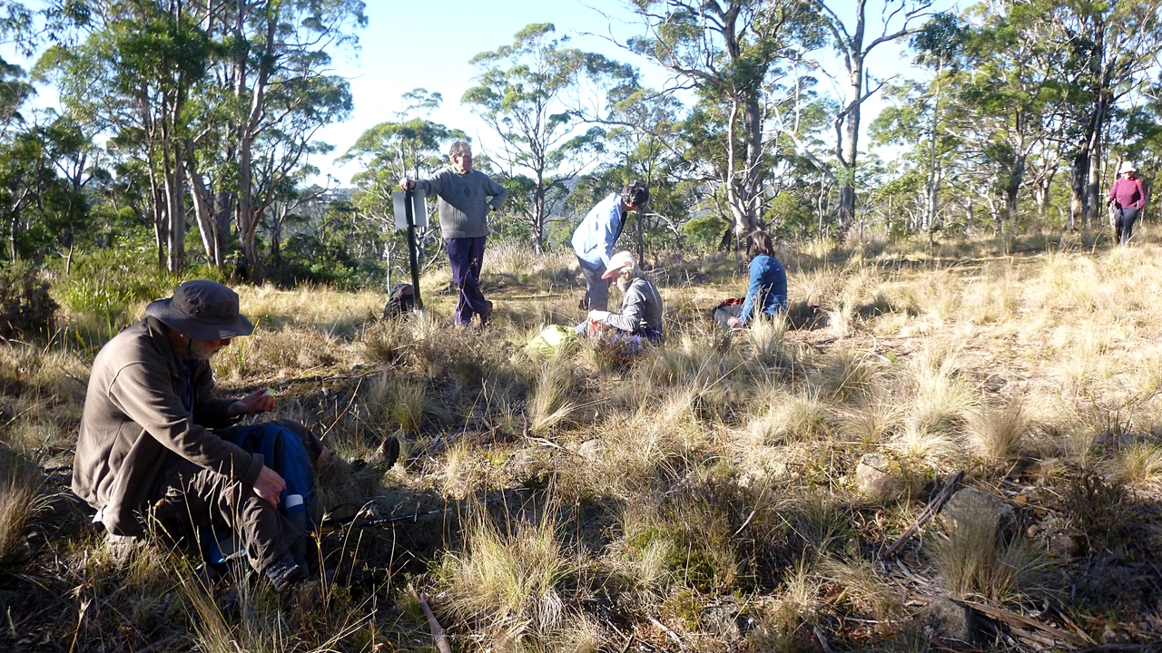
| Gearing up |
 |
| The only mud |
 |
| Destruction around the back of Tolmans Hill |
 |
| Sally looking for our track |
 |
| Wellington in the background |
 |
| On track |
We're going on a different route from the past walks, looking around you can see a multitude of tracks through the bush.
The one we're following appears to be an unofficial mountain bike track with humps, jumps and constructions.
 |
| There are several photos of Wellington. It was the kind of day when every detail stood out |
 |
| Some sort of bike jump? |
 |
| We start heading down |
 |
| A short walk would take us to a capital city, but you can't see that here |
The track heads down and becomes fairly steep. So much so, some people decided that bottom sliding was safer then trying to remain upright. Donations will be accepted to keep your name out of print.
 |
| A long shot of some people enjoying the discomfort of others who are still travelling down! |
 |
| Looking back |
 |
| All together again, we walk on |
We soon come to Ridgeway Rd., and walk up a short distance for an early Morning Tea.
 |
| Ridgeway Road |
 |
| Morning Tea |
Tea finished, Sally has a surprise for us. She's taking us across the creek running just below the picnic tables location.
 |
| Sally leading from the front |
The appears to be a more direct route leading straight up. Peter and I considered it (well, Peter did) and decided it wouldn't be fair on the others. So we fell in line and traversed the bank.
It appears to be the remains of an old, perhaps logging road, and leads to another track going up.
 |
| Peter found and pointed out these bright yellow fungi for me. |
 |
| Just above and south of the Waterworks |
 |
| Familiar track |
 |
| I'm in front for a change |
 |
| What's wrong with this picture? |
 |
| Where's all the chatter and happy laughter? |
Never mind, we're still moving and that's the important thing.
We walk up this track and turn left before reaching the Pipeline Track, heading up towards Chimney Pot Hill Rd. and a lunch spot.
 |
| Looking down at the reservoir from a rock lookout |
 |
| Towards Hobart |
 |
| Rock shelf just off track |
 |
| Continuing up the track |
We reach the road, turn left and walk on a short distance before we will turn off for lunch. Along the way I spot a sign off in the bush on a track to nowhere.
 |
| After a short road walk, we turn back onto Ridgeway Rd., then off for a sunny lunch spot |
We stop here because we're going to drop down again which will bring us into shadow. We find a couple of unusual features at our spot, and I think someone will have some strange photos of unusual wild life. But I suspect they're used to it.
 |
| Big Brother is watching you, Peggy |
 |
| This camera... |
 |
| ...captured photos of this unusual wildlife group |
 |
| But not this group |
Lunch finished, we started down the track which leads towards the Southern Outlet.
 |
| We're at the bottom of Ridgeway Reservoir |
Sally said you used to be able to walk across the top of the dam, but health & safety mean that's not possible now. Also, they are working on the top of the dam as per the signs we saw earlier. Not too sure I want to be at the bottom of the dam wall.
 |
| We cross the creek at the bottom of the dam and pick up a very old road that must have been used in the construction |
 |
| Creek below the dam |
 |
| We're heading uphill now. Well, they are. Peter and I soon will be |
 |
| Regrouping at the top |
 |
| We're now heading back towards the cars on a track we've done before |
 |
| We came from back there onto St. Michaels Collegiate Ham Common Sports Ground |
 |
| We're heading for what's left of Old Proctors Rd. |
 |
| Back on Woodcutters Rd., with the cars just behind me |
|
|
We had 14 walkers and covered 9.71km in 3:54 hours. Perfect weather and a great walk. What more could we want?
Click here to download GPX file


No comments:
Post a Comment