Today we venture from the Waterworks Lower Reservoir up to some of the lower tracks on Mt. Wellington and back. The weather is cold (5C when I left home and 6C at Kingston) but not raining. The summit of Wellington is covered by cloud with snow lurking behind.
We park outside the entry gate and cross over the lower dam to pick up the track on the other side. We continue along this until we come to a vehicle track at the Upper Reservoir dam that goes uphill to the Huon Rd.
 |
| Ready to go |
 |
| Passed this at the beginning of the track |
 |
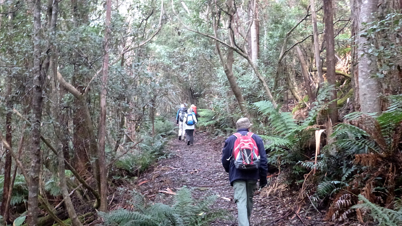
| Track leading towards the upper reservoir |
We've been up this track several times in the past. Usually it requires a couple of stops for regaining breath, but we're fitter and we do it in one (slow) go. I'll have more to say about a couple of the little/tiny/small hills we climb later.
At the top we regroup, then cross the Huon Rd. to walk up a little way until we find the beginning of the next stage. This is a pleasant walk through the gums paralleling the road, but not close to it.
 |
| Up to the Huon Rd. I think Gordon has been taking Bob pills, and was looking for the steepest climb |
 |
| Looking down from the top |
 |
| Wellington isn't fully visible, but you can see the snow |
 |
| Up the Huon Rd. |
 |
| Here we cross back over to pick up the start of the new track |
 |
| Initially, we have some views to the right |
 |
| We're walking now through young gums |
 |
| Even in winter, there are some blossoms around |
 |
| This is why you don't stand under a gum tree |
 |
| Back to Huon Rd., we walk a short distance up to the next turning point |
 |
| Which is here |
 |
| We've been up here before, and I can tell you it gets steep up in the far shadows. At least we have a variety of surfaces to walk on |
 |
| Morning Tea |
We make the climb, turning right at the top to pass the large water tank and find a comfortable log for our break. Afterwards, we go back to the Fingerpost Track and continue on.
 |
| Sally, Tas & Bob. It would take a catastrophic event to get Bob's hands out of his pockets. It rarely occurs, but when it does it causes much comment |
 |
| It's a nice wide track |
 |
| Local colour |
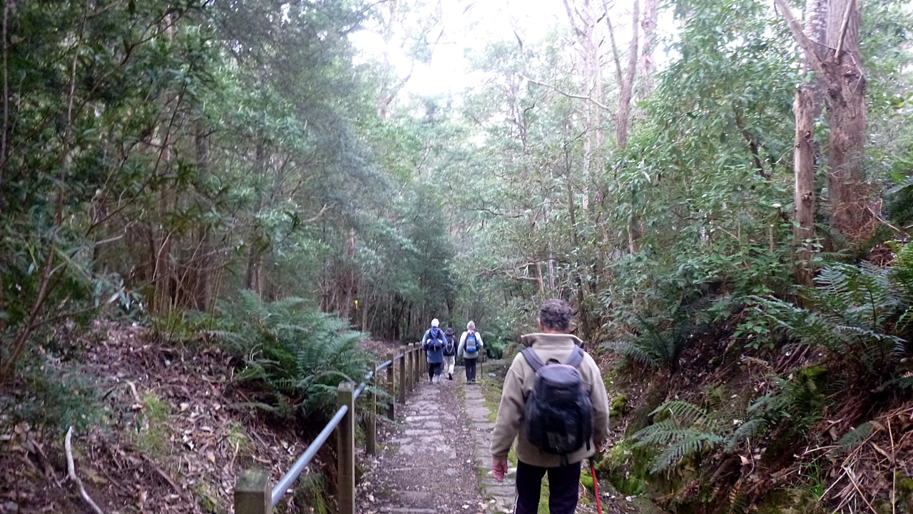
After a while we come to a major junction of tracks with multiple signs. Here we turnoff onto Bracken Lane.
 |
| Some of the signs. Curtis Ave is back near our break stop. |
 |
| Following Bracken Lane trail, we come to Pinnacle Rd. which we cross to pick up the Silver Falls track |
Gordon wants to see how much water is coming off the mountain.
 |
| Before we cross the road, Addie and I admire this old sign. It needs a shave, but it's much better looking than its modern counterpart...and lasts longer. |
 |
| Modern, soulless sign |
 |
| Silver Falls Track |
 |
| Looks like someone's home in the distance |
 |
| If caught in the rain, you could (just) shelter in here. But you might make some new friends if it's summer |
 |
| One of the few large gums left |
This area was logged in the past, and you see several large stumps with spring board slots cut in them.
 |
| Lots of fuel in the bush off track. Unfortunately, it will burn someday |
 |
| Old timer with gap for passing. Tree, not Addie |
 |
| We're not lost yet |
 |
| Some more local colour |
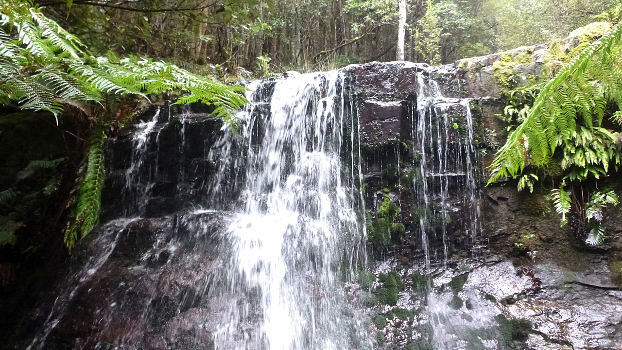
We reach Silver Falls to find a good flow of water over it. It's a pleasant setting with lots of man ferns around. No wonder this has been a popular walk for many years.
 |
| Silver Falls |
 |
| Man ferns |
 |
| Walking down Fern Glade. We're heading for Fern Tree Park for lunch |
 |
| The creek below the falls |
 |
| I used to have an old Victa mower that my father in law rescued from the 1960 flood and rebuilt |
We stop at the park for lunch. We're spread around a bit and I can tell you this table is in the coldest part! The temperature is much colder than down at the Waterworks.
 |
| This little church just near the picnic table above, survived the 1898 & 1967 bush fires that destroyed Fern Tree across the road |
Click here if you want to read more.
Lunch finished, we cross over Huon Rd. and start down the Pipeline Track so called because it takes water to the Waterworks Reservoir.
If anyone wants to know more about the Pipeline and Hobart's early water supply,
Click here.
 |
| Mt. Wellington with snow |
 |
| Looking to the side of Wellington over the rolling hills |
We walk down to where the old water delivery channel was cut into the stone cliffs, and continue down the stone steps some of which are carved into the stone surface.
 |
| It looks like Sue & Peggy at the back are going to dance their way down |
 |
| The first time I was on this track years ago, it appeared to be grass land. Now it's all grown up. |
|
|
|
On the way down we stop at a memorial bench. It's to a little girl who was walking with her family when a tree fell and killed her. A sobering thought, particularly when just a short distance on we pass 2 large, heavy and recently fallen gum branches that had dropped just off track.
We walk along towards the top reservoir and (evidently) we're happy to walk back along the bush track to the cars. Who wants to walk on tarmac with nice manicured lawns anyway!
 |
| Nearly back to the cars |
A word about the hill slopes. Loading the track in Google Earth and choosing to view the Elevation Profile, I can see that the first slope up to the Huon Rd. varies from 19% up to just over 30%. The climb up to the Fingerpost Track is around the same. Short but steep. The report I use just shows slopes are over 17%. You should all feel proud.
We had 9 walkers and covered 12.5km in 4.04hrs. Quite a good walk considering the weather predictions.
Click here to download GPX file
 |
| We walked in an anti-clockwise direction |


No comments:
Post a Comment