Today we're walking from the end of Upper Montrose Road and Bob is our leader.
The weather is supposed to be hot today, but it's not really too bad when we arrive at the start, just humid.
The track starts up immediately as we climb up into Goat Hills.
 |
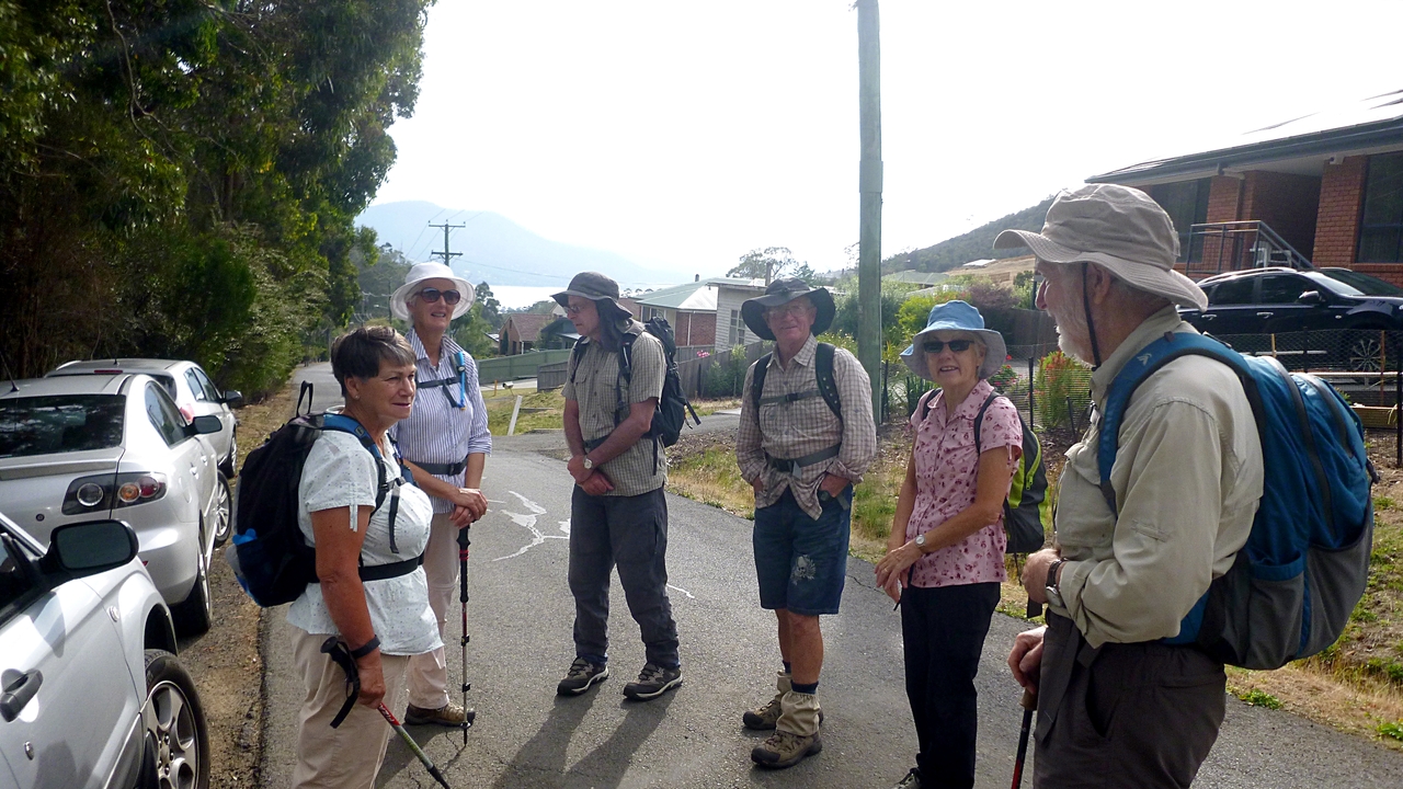
| Ready for the start. Who says silver cars are popular with a certain age group? |
 |
| It's very, very dry |
 |
| The track is mainly up with a couple of short breaks |
We keep climbing until we reach a junction with other tracks and sit down for Morning Tea.
 |
| Morning Tea |
 |
| After our break, we head up the Zig Zag fire trail |
 |
| The Zig Zags don't come until further on |
We'll turnoff before we get to them. In the meantime we have some views of Glenorchy behind us. As you can see, below this is a major power line corridor.
 |
| Pesky power lines |
Listening to the radio as I write this, I hear the Basslink power cable is no closer to being fixed and is verging on the impossible. This means these power lines may become available for Ron's idea of using them as flying foxes for tourist development.
Back to the walk, we continue up, looking back occasionally at the view. Nearing the top a ute appears coming up another track to our left. Not the catered lunch we imagined, it turns out to be a Parks and Wildlife unit doing an inspection of the area. I think they were surprised to see us!
 |
| Mt. Wellington |
 |
| Nearing the top |
We reach the top and turn left, but before we go very far, Bob wants to find out if we can see Collinsvale from here. We can certainly see roads and houses below, but, judging from the map, Collinsvale is just out of sight to our left.
 |
| Bob looking for Collinsvale |
 |
| Looking north |
 |
| Ron & Jack. Photo by Bob |
We continue on the East West trail.
 |
| Natural dry arrangement |
 |
| Junction with unmarked trail |
 |
| Into Wellington Park |
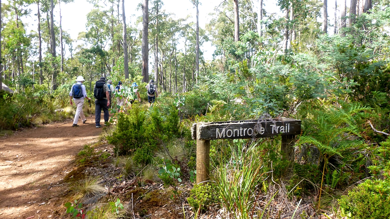
We leave the East West Trail and get back onto the Montrose Trail, looking for a lunch spot.
 |
| Back onto the Montrose Trail. I like the old signs better |
We walk on for a while and find a spot with enough logs and rocks for our little band to sit and have lunch.
 |
| Lunch spot |
As we're having lunch I was having a look around nearby and spotted the remains of an old track leading up the hill. Some care was taken in building it and it aroused my curiosity. Bob joined me followed by Ron and we began to find several other signs of some sort of settlement over an area of bush.
 |
| Neatly edged track with a couple of posts on the right. Wide enough for a vehicle of some sort |
 |
| Area of large boulders filled in with smaller rocks |
 |
| Ron found a number of these semicircles on the hillside, looking like garden plots |
 |
| More curves. There were also some rectangular areas laid out with rock |
 |
| This is a dug out area with remains of a wall just off the Chapel fire trail. I thought it might be some sort of loading dock. |
There were also random lumps of metal and corrugated iron lying about. We even found the remains of an old pram.
 |
| Old pram frame |
|
Of course, it could have been stolen by pram hoons, pushed up the hill
into the bush after they had their fun and torched to destroy the
evidence.
 |
| More walling back in the bush |
Looks like families might have been living up here long ago, there were signs of logging in the distant past.
There was also a large cleared area with a track leading to it that might have been a living area in the past.
I've looked on line for any information on the history of the area, but have had no luck.
We're heading down now and I hear a shout from the front. Bob has found a snake crossing the track. Unfortunately, it's too fast for me to get a photo. It was identified as a red bellied black snake as it had a scarlet underbelly. On checking when I got home I find on the Parks & Wildlife site that these don't occur in Tasmania, although unconfirmed reports of them have been made from the northeast of Tassie.
They suggest people have seen a Lowland copperhead, but this lives in wet, marshy areas and where we were walking is anything but. Another suggestion is that it's a type of Tiger snake. Who knows?
I often get criticized about taking photos from the rear. I try to avoid this as much as possible and alter the angle of my photos to minimize bum shots, but it's not always possible. As you can see from the photo of the snake below, nothing is safe from a bum photo.
 |
| Even Mother Nature isn't safe from a bum shot! |
We continue down our original track and return to the cars. Just in time, as the temperature is rising and it will soon be too hot to walk.
We had 7 walkers and covered 8.84km in 3:30hrs.
Now, according to the rule that says add a kilometre for every 100-150 metres climbed, we'll make that between 12.8km and 14.8km walked.
A good walk and so close to town.
Click here to download GPX file


No comments:
Post a Comment