Today Bob is taking us on a new walk in Chigwell on part of Goat Hills starting out on the Lowes Ridge Fire trail.
Heading north through Hobart, it becomes very foggy and headlights are switched on. Parking in Arunta Crescent we have a short street walk until we reach the start of the track.
 |
| A bit misty as you can see |
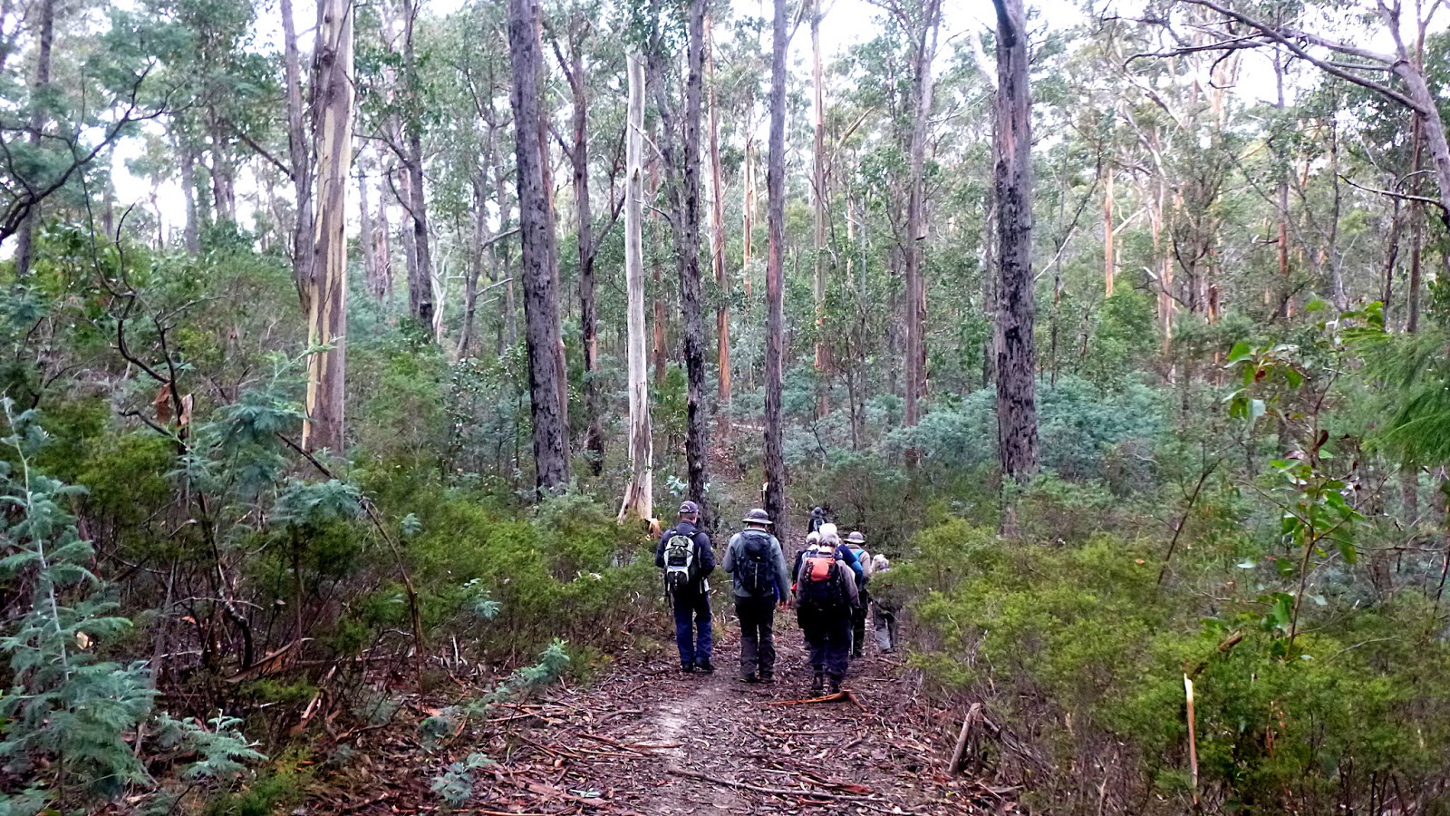
The start of the track is at the end of Coach Road and is a quagmire so we cut across the rear of the above houses, following a foot pad up through the bush. Some wonder if we are going to see anything today due to the fog. I reassure them we're most likely to be above it all in a little while.
 |
| The Derwent basin is filled with fog... |
 |
| ...but we have a spot of sunshine |
Knowing the propensity of some folk in this area to park their old vehicles in the bush, I was tempted to ask Bob if we would come across any interesting vehicles today.
We did actually, but not as many as I've see in other areas. The Holden Ute below is the first one and offers someone who is so inclined a good restoration project. I've seen worse.
 |
| Looks like an HD (1965-1966) |
Judging by the circular speaker hole in the pillar behind the driver, it had an early after market stereo self installed.
 |
| Ron and Wayne enjoying the view |
 |
| Sticky, black mud |
 |
| Some stop and try to clean their boots |
 |
| Photo by Renate |
We continue climbing and, although it doesn't look bad in the photo, the mud on this track is some of the stickiest I've ever been on. We're getting centimetres taller with every step until it builds up enough to drop off.
Cleaning probably isn't worth it until we get a surface change.
It being that time, we reach a spot where the track begins to level out so we find a spot for Morning Tea.
 |
| Morning Tea spot |
We actually spread quite a ways along the track as everyone looks for their perfect spot.
Tea finished, we move on, coming to a junction of several tracks.
 |
| Junction of several tracks |
 |
| We bear left and head down this cleared area |
 |
| Panhandle Hill |
 |
| Part of Wellington Range in cloud |
At the start, Bob had told us we would catch a glimpse of Mt. Wellington, and challenged me to spot it. More later.
 |
| We're on a narrow track now |
The signs are obvious now, this is a popular area for trail bikes.
We head downhill coming to a dam. As Wayne pointed out, this was probably one of many that were dug in hard to reach areas after the bushfires of 1967 to provide water for firefighting.
 |
| I really don't think it would have lasted long |
We walk around the far side of the dam to avoid what appears to be mud on this side.
 |
| Skirting the dam |
 |
| Bob takes us up a small track on the other side |
I was behind as I was taking photos and as I walked around the dam I shouted out to nearest walkers, asking if they had noticed the bones.
It seems none had. I was a bit sensitive spotting the bones as it was only this week that the remains of a bushwalker had been found in the south, with papers dated 2010. The above were animal, though.
The track winds around the bush passing this bracket fungus shown below.
 |
| Bracket fungus |
Still heading up hill we're on a slightly wider old track. As I come around a turn, an artefact is pointed out to me, lying in the middle of the track.
Dating is initially a problem until Ron and Wayne find another clue.
 |
| What era is this from? Perhaps we need carbon dating to tell... |
 |
| ...perhaps not |
On we go as the track gets wider.
As we climb, someone points out a couple of old fossils on the track. They've moved on by the time Renate and I arrive, but we do find some embedded in the rocks of the track.
 |
| Shell fossil. If you look carefully there are several in view |
 |
| Very interesting fossil photo by Renate |
I've looked, but can find no information as yet on these. They are very similar to ones found at Woodbridge, but the rock is different.
On we go taking several different tracks that finally lead us to lunch.
 |
| Lunch! |
Very dry area with lots of dead wood.
 |
| Dry bush. Inset is myself having lunch. Photo by Renate |
 |
| Photo by Renate |
 |
| Telephoto shot, probably Old Beach |
 |
| Lunch spot |
 |
| Someone at home? |
After lunch we follow some foot pads taking us to a cleared area and into she-oaks.
 |
| She-oaks |
 |
| Eventually, we find ourselves back on our Morning Tea track |
It was around here that Bob told me I had failed the challenge of finding the only spot to see Mt. Wellington, although he did admit it wasn't visible when we climbed up here due to fog!
 |
| The view I missed, Mt. Wellington |
We continue down, on the sticky mud again.
Looking out, we can see a clearer view of the suburbs below.
 |
| The white blob just left of centre is the Derwent Entertainment Centre |
While admiring the views, I pointed out a bright red splodge on the eastern shore and said we'd seen the same from Mt. Direction. I couldn't remember the exact reason for it as it was two years ago. I can now tell those interested that it's shade cloth covering an unknown crop at a property called Fairfields just off Old Beach road.
Back to the present time, we turn off to try and avoid the worst of the mud and make our way back to civilization to clean our boots on the kerb.
When we were starting out this morning, walking along the street, I noticed an old bridge and gate just behind some houses.
Bob took us to look at it on the way back and it appears it was the original entrance to the Lowes Ridge Fire trail, complete with old gate.
From the bridge it was a shuffling walk back to the cars as I tried to remove as much mud from my boots as possible on the damp grass.
We had 14 walkers and covered 8.04km in 3:47hrs. Not a long walk, but a good one and Bob has a couple of other walks in the area planned. Looking at the area in Google Earth there are tracks aplenty. Some are on private land, though.
To make you feel better, we can invoke the rule of the Hobart Walking Club and add a kilometre for every 100 metres climbed. We climbed 960 metres so you can work it out.
If you want to be more accurate you can use Naismith's Rule as invoked by Scarf and corrected by Tranter, Aitken and Langmuir. I've lost interest by now, but you can
CLICK HERE for an explanation.
Click here to download GPX file


No comments:
Post a Comment