 |
| Bob, waiting for everyone to gear up |

Being completely disorganised this morning, I forgot my class folder and my gloves. As it turned out, I didn't need either as the weather was quite mild. I also had the class info on my phone if I really needed it.


We make our way towards Coningham Beach in a round about way.
 |
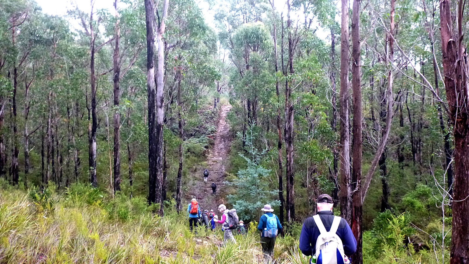
| We'll find plenty of up and down here |

 |
| Dew drops on leaf and needle in the sun make a sparkling sight |

 |
| Out of the reserve and along the road to turn right to the beach |
 |
| The low winter sun causes problems taking photos, but this looks good |
 |
| Coningham Beach |
 |
| More of the beach and Mt. Wellington in the clouds |
Along the way, we pass this object wedged in a tree.

K.C. is short for Kingborough Council. Wonder if they made it? Wonder if the wasps made it?

On we go coming to one of my favourite maps. First off, there is no "You Are Here" indication. A small matter, I know, but out of area visitors might be appreciative of one. Secondly, I'm surprised that none of the tracks have names. Everywhere else I can think of have tracks with local names, not here.
Never mind, on we go heading up for Morning Tea.

We walk up for a while before turning right into the bush to find a place for our break.

 |
| Morning Tea with seating for all |
 |
| Into the unknown |
 |
| Appears to be an old road, probably woodcutters |


The old road becomes a track that zig zags up the hill side. Bob is keeping a very close eye for anyone trying to take a short cut, as Renate and I found out.


This track appears to be popular with mountain bikers as someone has done some work filling soft spots with flat rocks. Soon we come to the central track leading to the top of Sheppards Hill.
 |
| Towards Sheppards Hill |

At the top, we pick up the track that leads towards Old Station Road, but soon turn off into the bush on a faint trail, which will take us in a small loop.

 |
| That old giant lying in the distance, came up to my armpit when I stood beside it |

 |
| We passed a couple of cairns marking the way |
 |
| Mt. Wellington |
 |
| Some of the Wellington Range behind Mt. Wellington |
The loop takes us back over the wider track and off into the bush, heading downhill.

We are finding signs of mountain bike tracks being laid out all around us. It seems someone bought a wholesale quantity of orange tape and has proceeded to mark almost every tree and bush in the area. I would have thought that different colours for different tracks would have made more sense.
Actually, I don't think it's legal according to what I've read.

 |
| Open bush |
 |
| Another bike track, the bottom of the dip covered in flat stones |
 |
| A cross local watching us pass |
 |
| Lunch |
 |
| My lunch view |
 |
| Lunch finished, we continue down |

We follow new tracks, some are new to Bob if truth be known!

It was at this point when I looked up and said to Geoff in front, "I don't like the look of that ahead of us." We wondered if Bob was going to take us up or turn off onto an unseen track at the bottom.
 |
| Question answered, we're going up |
 |
| It's wet, muddy and slippery |
 |
| I stopped at the bottom to smell the flowers as others tried making their way up |
 |
| It actually is steeper and longer than it appears from the bottom |
 |
| Wayne takes a breather after helping others navigate some of the bad sections |
We had 14 walkers and covered 9.9km in 3:54hrs. I found it quite an enjoyable walk and was glad to see some new tracks.
For anyone who is interested in the history of the area, I've copied a section from the Management Statement 2009 by Parks & Wildlife. This appears below the maps and helps bulk out the blog.
Click here to download GPX file


4.4. History and Historic Heritage
There are currently no recorded historic heritage places identified in the Tasmanian Heritage Places Index.
Coningham was originally known as The Sheppards, named after the line of hills that form the upland area of the reserve. European history began with the charting of the foreshore by Baudin in 1802. In the 1840s the road to Oyster Cove convict probation station was constructed largely with convict labour. This road was maintained through the 1850s when Oyster Cove housed the
remaining Tasmanian Aboriginal people brought in from their land by G.A. Robinson.
The land did not attract settlers as it was dry and had poor sandy soils but was considered adequate for sheep grazing. The area was grazed from 1829 until 1922 when the run was surrendered and returned to the Crown as dogs were killing the sheep.
Grazing leases for The Sheppards were later resumed and continued until late in the 1970s. A large shearing shed was built near the pear trees but this was eventually blown off its foundations.
The Sheppards had been a source of firewood, which was at first freighted up to Hobart by the ‘she-oakers’. In more recent times the (then) Forestry Department issued licenses to woodcutters in return for a royalty. There are stories of men cutting furnace wood and living on The Sheppards in a bark hut. Many access tracks were made into the hills by woodcutters so that firewood could be transported by truck.
In the 1950s there were ten timber licences issued for The Sheppards but only a few were used. The council closed the access road at Coningham at the request of the Coningham Progress Association in June 1950 because of damage by timber trucks. This ban was disregarded by some woodcutters who requested the road be re-opened, claiming their livelihoods depended on it.
Forestry Tasmania ceased issuing timber cutting licences for the area. It was noted however that there was indiscriminate cutting and carting of wood including green standing timber with the waste becoming a fire hazard.
In 1957, the Legacy organisation leased an area of the reserve, designated as Crown land at the time, with the view to providing holiday camps at Easter and Christmas for the children of Legacy widows. It was originally called Hobart Legacy Gellibrand Camp.
In 1967, fires damaged the camp. Legacy bought the area of land at Coningham, rebuilt the camp and fenced the area in 1968. The track from the camp to Legacy Beach was constructed. On 15 September 1975 a Regional Park was proclaimed. At this time Australian Pulp Mills had a licence to obtain pulpwood from Coningham. The company had no objection to the Regional Park being established providing it did not affect the maximum allowable cut of pulpwood
available to the company in southern Tasmania.
In 1977, the camp was sold to the Education Department’s Division of Recreation and in the 1990s it was sold to Centacare (Anglican Mission). In 2006 the camp was sold to a private vendor.
The value of the reserve for recreation, education and the conservation of biodiversity was formally recognised by the creation of a State Recreation Area on 30 July 1979 under the Crown Lands Act 1976
On 30 April 1999, the reserve was converted by way of the
Regional Forest Agreement (Land Classification Act) 1999
to a nature recreation area to be managed under the
National Parks and Reserves Management Act 2002
.
No comments:
Post a Comment