Today is an easy walk designed to tempt walkers who haven't been with us for a while. Bob is our leader.
Leaving Kingston we set off to Pontville, a place I haven't seen for years. I'm glad I looked at Google Earth the night before as the last time I went here there was no bypass road so it was a straight through journey.
We park at the Thompson Oval and set off back down the highway to weave around the houses until we find the start of the walking track by the Jordan River.
Overseas viewers should know that Pontville was established in 1821 by the Colonial Governor Macquarie as an early army garrison settlement. Now it's an historical village.
 |
| We managed to squeeze our cars into the car park |
 |
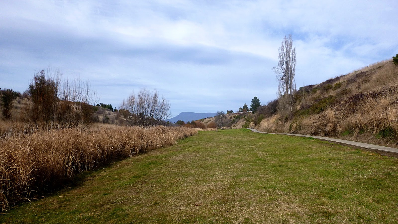
| Across the oval with Mt. Dromedary in the distance (with Platform Peak behind) |
Pontville is known for its colonial sandstone buildings. The church below is our first sandstone construction and as we're heading south, the last one for a while.
 |
| Even though it's winter, it's very dry out here |
 |
| What used to be the site of the old Brighton Army Camp |
 |
| Brighton Army Camp - WWI |
It's around here that we turn off the Midland Highway and start weaving through the suburbs towards the Jordan River Trail.
 |
| I wonder if they'll teach you to rhythmic dance in boots, pack & walking pole? |
 |
| You're right. That's Mt. Wellington in the distance |
 |
| One of the originals |
 |
| I'd like to know the history of this little cottage |
 |
| Another in the distance |
Enough of the real estate, we've found the start of the trail.
 |
| The start |
 |
| Looks are deceiving, parts of the river are dry |
 |
| The Jordan River Trail. It's a work in progress |
 |
| Some don't mind walking on concrete... |
 |
| ...Tas and I prefer the softness of grass |
 |
| You can't actually see the river here |
|
 |
| A comfortable spot for Morning Tea just off Ford Road |
 |
| Looking back |
We continue on, making our way back to the Pontville Bridge where the track continues across the road.
 |
| Twelve Stones Restaurant |
I was looking for information on this old church when I found this article in the Hobart Mercury.
CLICK HERE for the juicy details.
 |
| The old bridge with the colonial barracks behind |
 |
| Convict built bridge |
The Pontville Bridge was built around 1830 by Captain Forth. It had a wooden deck until 1945 when it was replaced with ferro-cement.
 |
| From a postcard |
You can find more information on this empty cottage if you follow the link at the end of this article to the On The Convict Trail blog.
 |
| We've crossed the highway and are starting on the second stage of the walk |
 |
| Recreation area on the left, river on the right |
 |
| Looking back at Pontville |
 |
| Distant hills |
 |
| The river's down there somewhere |
 |
| An old property in the distance |
 |
| A bit of the Jordan River |
 |
| No idea who Vicki is/was. This appears to be a private road |
We reach the end of the trail, but Bob isn't finished with us yet. We continue on, weaving around the back roads and the houses to add distance.
 |
| Some where up ahead we have lunch |
 |
| Accosted by a local |
 |
| Not sure what Wayne's pointing at |
 |
| Lunch view |
Lunch finished we travel back towards the cars.
 |
| Modern copy of colonial style |
They had the good idea of planting windbreaks around their property. You need them out here as it's very flat and bare and the wind carries all before it.
 |
| If you look carefully, you can see our human GPS, Bob, running in the distance to see if there's a gate into the recreation ground. |
|
|
There was. Unfortunately, it was locked. We don't call ourselves Bushwalkers for nothing though.
 |
| Up and over |
 |
| This is the reason we're in a bit of a hurry! |
A forecast front is moving in and it doesn't look pleasant. As it turned out, we needn't have worried as we didn't get rain until we were on our way home.
 |
| Back to the cars |
You can find out more about the various buildings and some of the interesting history if you
CLICK HERE.
This will take you to an interesting blog called On The Convict Trail
by Geoff Ritchie. Once you've read his blog on Pontville, take a look at the rest of his site. It's very interesting.
We had 13 walkers and Bob took us over 12.53km in 3:31hrs. The weather held and it was an interesting walk.
Click here to download GPX file


No comments:
Post a Comment