Today we're heading up Cathedral Rock.
Back in May we walked from Neika to St. Crispins Well which takes us along the Pipeline Track. On the way we had several views of Cathedral Rock which brought the question, "Can we climb it?". Well, all I can say is "You asked for it!".
 |
| Cathedral Rock from the Pipeline Track |
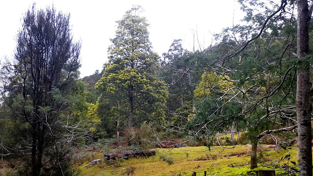
 |
| Luckily, we don't need to go up this way |
We can climb it from the back.
The weather forecast for the day sounded quite good. The reality as we peered across the valley towards the Rock was an extremely black sky slowly moving towards us. It didn't look good at all.
We told ourselves it would be o.k. by the time we arrived at the starting point, and so it proved.
We head through the new Summerleas Road Junction, traveling south to Leslie Vale then to the old Huon Road before turning off into Betts Road. A short drive down this dirt road brings us to a car park where we get ready to set off.
Heading up the road takes us onto private property whose owners have given permission for walkers to pass, which is good of them.
 |
| Setting off. Ron and his passengers have parked in another area further up the road |
Unfortunately, this constitutes a shortcut and, as I informed Ron later, generates a large number of penalty points for all concerned.
 |
| Not Spring yet, but the bush is beginning to flower |
 |
| Start of the track |
The track starts out level then heads down towards the North West Bay River.
The last time I was here, the track actually entered the river bed, traveled uphill over the boulders and back to the track at a cairn and marker on the side of the riverbed. Now, it winds along the narrow bank.
 |
| Heading down |
 |
| Lots of ferns and moss through here |
We come to a section where the track heads up and along, bypassing a section along the river. Following this we come to an open spot and I decide to have an early Morning Tea as this seems to be the best place for a while.
 |
| Early Morning Tea taken here |
 |
| Land slip on other side |
 |
| Morning Tea. What's that strange piece of paper Mendelt is showing Peter? |
On closer inspection I believe it's what is called a 'map', not something we're familiar with on our walks.
 |
| The track |
 |
| More bush colour peaking through |
After the break is finished, it's not long before we begin one of the fun parts of the walk. The zig-zag climb up to the start of the final track to the top of the rock.
 |
| Going up (slowly) |
 |
| Looking down |
 |
| Mendelt takes charge and stops us for a breather at each corner |
 |
| Looking carefully you can see the angle of the slope |
Finally we spot our objective through the trees and not long after the track becomes an easy walk to the start of the climb to the top.
 |
| Cathedral Rock through the trees |
 |
| The track has become much easier now |
 |
| Some lovely gum trees |
 |
| Short stop on a fallen tree |
Someone had to get a chainsaw up here to open the track again.
Just beyond the tree the track to the top starts. Easy at first, but getting harder as it goes up.
 |
| Says it all |
I start up with Peter ahead and it's not long before I realize I'm not going to make it today. So, listening to the warning messages my body is sending me (Oxygen is important. Who knew?), I decide I'll return to the start and wait for the others to come down. Peter goes on ahead.
I sit for a short time until I feel normal again and make my way back to the beginning of the Cathedral Rock Track. Water and a couple of barley sugars and I'm feeling perfectly o.k. and set off on a little walk on the track beyond the Cathedral Rock turnoff. Quite a pretty walk, actually.
 |
| Some of the Betts Hill Track beyond the Cathedral Rock Track |
I come back to a convenient rock to have lunch. Hearing voices, I first thought it was the group, but as they got nearer, it turned out to be a couple of blokes on their first walk up the Rock.
I gave them the benefit of my vast knowledge of the track up, warned them about people coming down, and sent them off.
After they left, I spent my time looking around the bush and taking photos. While in a cleared area next to the track, I spot Peter coming down and nearly cause a heart attack by saying hello!
The rest soon follow, all impressed with the climb and view.
TIME AT THE TOP
Both Peter and Wayne have supplied the following photos of the activities of the group on top.
 |
| Rough track by Wayne |
 |
| Steep Track by Peter |
 |
| The track by Wayne |
 |
| Huon Valley by Peter |
 |
| North West Bay by Peter |
 |
| Crabtree by Peter |
 |
| The Thumbs by Peter |
 |
| Mt. Wellington by Peter |
 |
| Lunch by Peter |
 |
| Photo by Wayne |
 |
| Admiring the view by Peter |
 |
| Kingston by Peter |
 |
| Wayne by Peter |
 |
| Mendelt using that pesky map again to locate surrounding features. Photo by Wayne |
The group is back together again. So, Peter and I set off at a pace, leading the way back down the switch backs. I had been concerned the track would be slippery on the way back, but that wasn't the case.
As we get lower, the two of us peel off to take some photos along the North West Bay River.
 |
| Mossy rocks by Peter |
 |
| River in flow by Jack |
 |
| River bed by Peter |
 |
| Wet track by Jack |
 |
| River reflections by Peter |
It doesn't take all that long to return to the cars.
We had 12 walkers and covered about 9km in around 5:09hrs. That's total time and doesn't take into consideration Morning Tea and lunch. On the way up, we reached the beginning of the climb in 2 hours from the cars and Peter timed the climb to the top of the rock at 45 minutes.
Everyone was on a high when they came back and you can all be really pleased by completing this walk. I can only say that next time....you go on your own!
As my track is different from yours, so I've used a simple GPX track to produce the map etc.


No comments:
Post a Comment