We travel to Clifton Beach, parking off Bicheno Street.
 |
| Ready for the off |
 |
| Looking west |
 |
| East and Cape Deslacs |
We're heading away from the Cape and will sneak up behind it by another route.

 |
| Surf's up! |
 |
| Leaving the beach... |
 |
| ...for Morning Tea |
Shortly after we enter the path, a woman calls out from her back garden, asking who we are. She was pleasant, but to cut a long story short, she claims we're walking on a private path which belongs to the Clifton Beach Community or some such thing. There were no signs or fences at the end we entered.
After a chat, we continue on our way. Since than I've had a look at the map and there is a path shown there that appears to be public.
Anyway, we reach Pipe Clay Lagoon, heading east along the shoreline.
 |
| Heading east along Pipe Clay Lagoon |


 |
| Pipe Clay Lagoon |
We're heading to the turn off that leads to the car park. When Tas took us on this walk last year, we turned off the road and went off track for a little distance until we reached the track we want to take us to the top of the Cape.
Since than, it has grown up and become wetter, so I decide to continue along the access road and take the track from the junction with the road.
 |
| Wetter and more overgrown since our last walk here |


We turn off into the track leading up.
 |
| We turn left here |


A pleasant walk through the bush on a sandy track leading gently up.
At the top, we keep left along the top of the seaside cliffs.
Soon, we reach a fence and a stile leading to an open, grassy area.
We cross the stile (fairly elegantly) and continue on.
 |
| How to cross a stile with style |

 |
| A glimpse of Clifton Beach in the distance |
 |
| The area along the top of the cliffs is public, soon a fence appears to show the boundary |

 |
| A natural window |

We continue on. I know the public area stops in the distance,as the northern end is private property.
 |
| Views in all directions |
 |
| The public area is fenced off now |

 |
| Looking back |

At one spot we get a view of a blowhole in the distance.


The land drops off steeply on our right hand side.


As we come in sight of the end of the reserve, we can see a large mob of sheep that appear to be on our side of the fence. We don't want to cause any problems as there is no fencing on the cliff top and if they panic they could go over, so we turn around, making our way back across the stile to find a good spot for lunch.
I had a walk around the area during lunch so no photos. After we finished we head back, passing where we originally came up. I'm looking out for a track onto the cape, as I've not walked there before.
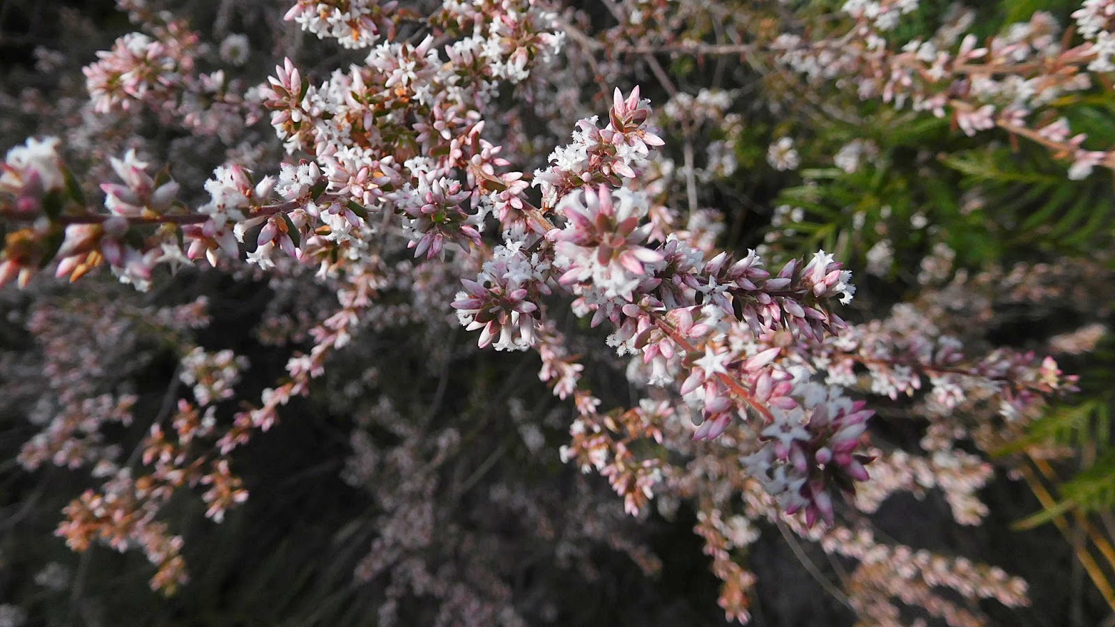
On the way, someone points out the first orchid of the season.

I find the track we want and on we go. So far on the walk, we've not seen any wildlife. As soon as I start on this new track a lizard scurries across in front of me, too quick to photograph.
A few steps later and I can see something moving in a bush in front of me. I stop and motion to the others to wait until I have a look. As I suspected, it was an echidna which promptly stopped and went into a defensive pose.

 |
| A fairly small echidna just beside the path |
 |
| Top of the cape |


 |
| Typical muttonbird burrow |
Wayne tells me I have to have a muttonbird if I want to call myself a Tasmanian.
I'll let you know the results when I do.
We make our way back to the main path, passing a still hiding echidna, and continue down to the viewing platform overlooking Clifton Beach.
 |
| Going down |


 |
| Clifton Beach with Watsons Hill in the distance |
Click here to download GPX file


No comments:
Post a Comment