Today we're walking from Margate up to the top of Harts Hill and around. At least that was the original plan.
There are still bushfires burning just south of us, so I wanted to keep us fairly near home in case of any problems. It was also a chance to test out the knee I twisted a couple of weeks ago. Nice steep climb and descent should do it.
I had hit rain literally at the roundabout at Margate, but it had stopped by the time I reached our meeting place and stayed away for the rest of the day.
We mounted up and headed back to Margate to park near the cricket oval, off Van Morey Road. We could pick up the beginning of the Margate Tramway Track just on the other side of the oval.
 |
| The start |
This part of the track winds behind a number of properties, many of whom have various animals that usually want to say hello.
 |
| Looks like a local creche |
Yes, it's a little dry around here, but they have access to another full dam just out of sight, so don't worry.
 |
| I suspect they wanted apples, but had no luck with us! |
 |
| Very fancy chook house... |
 |
| ...complete with chook |
There were more birds farther down the fence talking to the others.
On we go, heading south. The photo below shows it's not very nice weather down there.
 |
| Looking south |
 |
| Our first destination, Harts Hill, in the distance. |
It's not long before the track branches. One continues on while the other takes us onto Englefield Drive. That is the one we take. We have a bit of road walking now that will take us to the start of the track leading up to the top of the hill. Sounds like a plan.
At the top of the Drive, we turn left onto Frosts Road which is a dirt road at this point. It's been a while since I've walked here and I remember we come to a "Y" junction. So we did, and at the junction of Frosts Road and Hickmans Road, we keep left on Frosts.
It's a pleasant day and there is room for walking on the grass for most of the road and everyone is talking.
It's not long before both Bob and I realize that we're in unknown territory and should have reached the start of the track up by now.
We soon establish we should have turned right onto Hickmans Road.
Should we turn back? Well, it's a new walk to us so we continue on. I think we should be able to pick up the track as this road comes to a dead end at some point.
 |
| Frosts Road, Margate with North West Bay in the distance |
It's not long before we reach the end of the road where it meets the Harts Hill Track coming down and divides into three driveways. I remember we should find the start of the next part of the track nearby, but this is the first time we've come from this direction and we cast about until Wayne finds the start a short way up one of the driveways. Off we go again.
 |
| On the right track now! |
 |
| I still have a nice slippery, steep track for my road test - the knee passed with flying colours |
We reach a point where the track keeps heading down, but there is another branch leading south to another road. New territory again, so we decide to explore.
We leave the track at the end of Culbara Road and follow it to Slatterys Road, where we turn left.
 |
| We're making our way to those trees in a roundabout way |
 |
| Culbara Road |
As we're walking, three of us spot a couple of raptors flying some distance away. There are powerlines running north-south there and one of them flicks a wire, but is o.k. As we try to identify what birds they are, the others continue on (rapidly) oblivious of our absence.
 |
| Amazing the ground they can cover in a short time |
We catch up when we join Slatterys Road and head down. It's only a short distance to a dirt track leading into the transmission line right of way and the patch of bush we want to enter.
 |
| Leaving Slatterys Road and heading north |
 |
| One obstacle to overcome |
 |
| A short distance ahead we enter the trees |
 |
| Looking south |
The area we're entering is Local Government Reserve as is the way through the gate.
 |
| A local group have marked a couple of trails in the trees |
Soon we stop to have a discussion about which direction to take. After much arm waving, we decide to continue heading east towards the Channel Highway and set off.
 |
| Most of this area is open bush |
It's part of the Kingborough Waste Site. That used to be the Margate Tip, but is now a waste and recycling collection centre.
This area was used as an unofficial dump site in the past, and I can remember years ago 4WD vehicles also using it as it wasn't blocked off from traffic then.
 |
| Out of the bush and into civilization |
We cross over and Bob leads us north and into Marina Drive. I, and the rest of the group, had no idea where we were going. The road leads past several businesses and down to a gate leading to the Marina.
Bob, however, managed to find a bit of bush (untracked) that wound between chainlink fences, towards North West Bay. We had a couple of strange looks from some workers in the car parks, but we, being old and doddery, they just shook their heads and went about their business.
A short distance down we come to a short, steep bank leading down. This brought us to the bottom of a large pile of stone and dirt surrounded by a plastic fence. Most of which was in poor shape.
We had come from another direction a few years ago, and this pile wasn't here then.
Bob had a climb on top and found a way down. I found another way down a few stones and along the southern part of the fence, meeting the others at the end. My followers and I think my way was best.
 |
| Bob's followers |
 |
| Gail taking my way |
Now we can make our way south along the beach towards what is now called Peggys Beach, but will always be known as Electrona to me.
 |
| More come down the rubble |
 |
| This is public reserve now |
We'll have a late Morning Tea on that point of land. You can see a couple of houses here. Not cheap, but I'm not sure about the view. I suppose if you owned the Marina, you wouldn't mind the view they do have.
 |
| This ship has been moored here for years and I don't know the history of it |
We finished Morning Tea and walked back past the houses up onto the end of Graham Street which takes us back to the Channel Highway. Now we head north again towards Margate, retracing some of our steps. This takes us along the new walking/cycling track between Snug and Margate to our turnoff onto Dave Burrows Walk. As it's getting close to lunch time, we'll find a spot for another break on the shore.
 |
| A new addition to the start of the track at Derwent Avenue |
I think Wayne said it wasn't here a week ago.
 |
| Lunch with plenty of seating available |
If you step out on the foreshore and look south you'll have a view of our Morning Tea spot not very far away.
 |
| North |
After lunch, we continue along the walk into Derwent Avenue, heading back towards the Channel Highway again. We head north towards a track that leads us back to the Margate Tramway Track.
 |
| Accosted by bikies |
We cross over the highway and walk along the shoulder. There is a lot of traffic heading south, including a number of motorcyclists on tour. As they spot us they begin to blow their horns and wave. I'm unsure why we were so popular, but never mind.
Now we head along another track to make our way back to the cars.
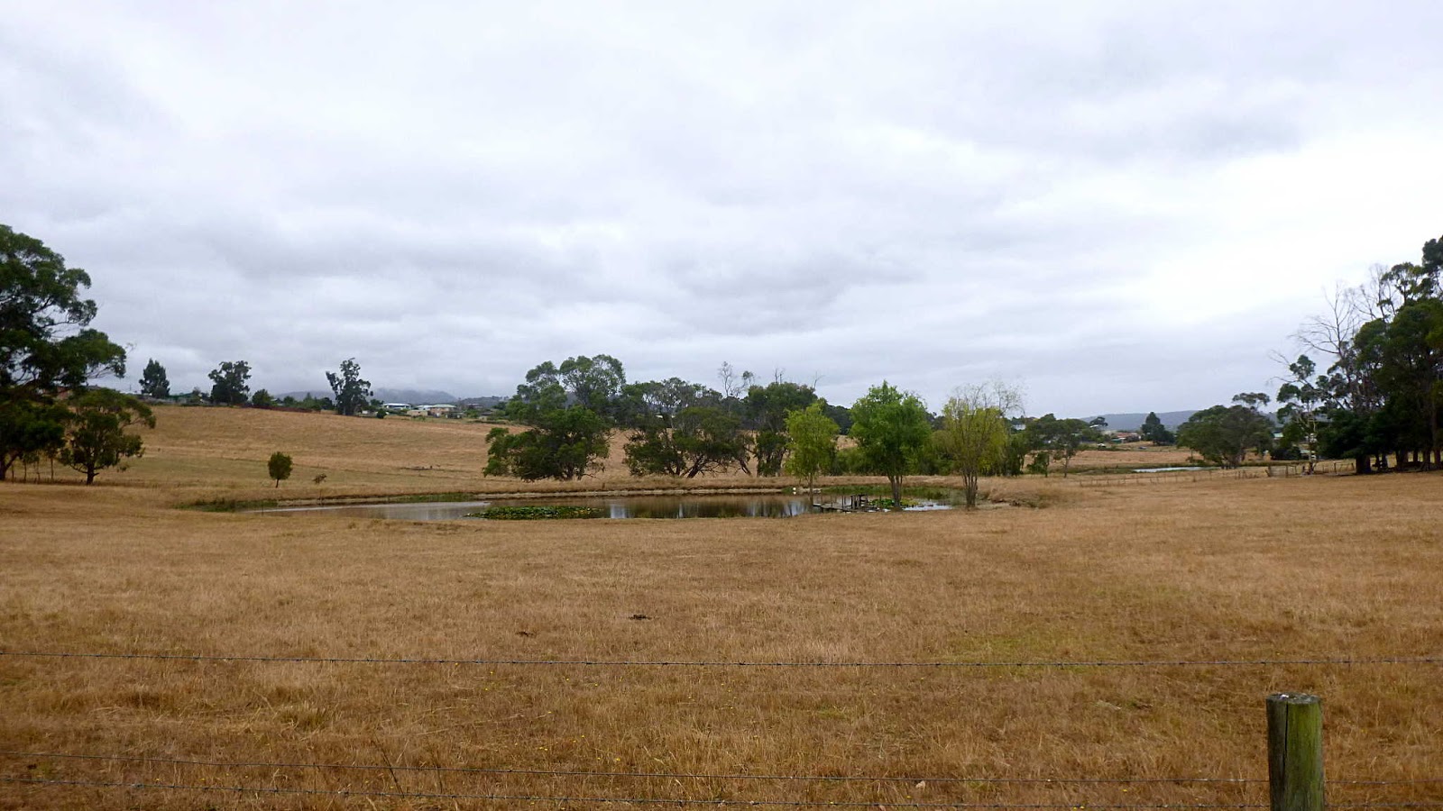
 |
| At least the dam is full |
 |
| Judging from the size of "Sir" and his girlfriends, we had found the source of the calves we saw in the beginning |
 |
| Two blow-ins and a native |
 |
| Two of our friends from earlier |
There was water and feed for them at the top of the paddock, out of sight in the photo.
We had 12 walkers and covered 9.49km on 2:54hrs moving time.
Thanks to Bob we saw, as someone commented, more of Margate than we knew existed.
Click here to download GPX file


No comments:
Post a Comment