Well, we're right in the midst of the coronavirus crisis with almost everything shutdown. Parks are closed and gathering of more than two people generally illegal. The U3A has had to close down which has stopped our weekly bushwalks.
I plan to do some walks around Woodbridge, Tasmania where I live, mostly up some of the side roads which lead into the hills.
I will have a companion who you will meet below. This walk goes to Crippstown, which is a local name for a local area which not many people still remember.
Tasmania used to be known as the Apple Isle and the area around Woodbridge was all apple orchards when we first moved here back in 1969.
The Cripps family owned one of the larger orchards and the area where the family lived was called, locally, Crippstown.
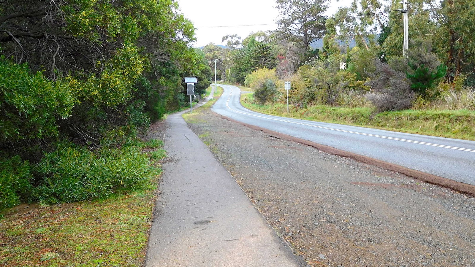
My companion and I are starting the walk from Silverwater Park, just off the Channel Highway.
 |
| Silverwater Park |
We exit our back gate, turning south along the Goat Track, heading down to Silverwater Park.
That art installation in the photo above celebrates another bygone industry of the Channel Area and Woodbridge in particular, scallop fishing. There used to be a lovely pale green, cement block long drop toilet here, surrounded by blackberries before this art work was installed.
 |
| Bryn the whippet. My walking companion |
 |
| The footbridge over Masons Creek |
The walk could go over the bridge, along the beach and up through the school grounds to the Channel Highway which would extend it a bit, but not today.
 |
| Mouth of Masons Creek |
No bridge today, but we'll walk up the hill below which takes us to the Blacksnake Path that leads past Woodbridge School.
 |
| Up the hill |
 |
| Heading south along the path to the school locally known as the Blacksnake |
 |
| Woodbridge School. Primary & Secondary |
The Marine Studies Centre near the Woodbridge Jetty is also part of the school.
We continue on as we're turning onto Thomas Road by the 122 year old Uniting Church.
 |
| Uniting Church on right and old scout hall on left |
A couple of walkers in the distance, but we're maintaining our separation. The large hill in the distance is Woodbridge Hill.
 |
| We'll pass some of those very distant houses |
 |
| A bit of colour in someone's garden |
 |
| Weedings Way |
Thomas Road does a 90 degree left here and heads up a hill. Weedings Way is a fairly recent development. Well, in the last 30 years.
 |
| Thomas Road heading uphill |
Bryn and I walk to the top where the road makes another right angle turn and heads for the hills.
 |
| Looking back down the hill |
 |
| Just behind us is the smokehouse. Producers of smoked Atlantic Salmon and Ocean Trout from the fish farms around the Channel |
 |
| The next section |
 |
| Apple Orchid next to the Smokehouse |
There are several new homes along here. Years ago all the now bare hills would have been covered with apple trees. When the market died out, the trees were removed with a government grant of $300 an acre to put in cattle. That didn't last too long before that market went bust.
I'm keeping track of this walk using two types of technology. I use a GPS tracker to produce the map, but we also have DPS which is a much older, battery free system as used by Bryn.
 |
| DPS or Dog Positioning System as demonstrated here by Bryn |
 |
| Large metal bird watching Bryn perform |
 |
| Looking up the D'Entrecasteaux Channel |
Bruny Island on the right.
 |
| The Bruny Island Ferry Mirambeena |
A new company has taken over the ferry route and is putting on two newer, smaller ferries. We'll see.
 |
| Looking back down |
We turnaround, heading down the other side, coming to Cripps Road. As we walk we pass the old and new on opposite sides of the road.
 |
| Old and new. Olives on the left and a small portion of the original apple orchard on the right |
 |
| Locals |
 |
| I seem to remember this house being called the Admirals House |
Presumably because a retired Admiral lived there. Now it supports half a dozen horses.
 |
| End of Thomas Road onto Cripps Road |
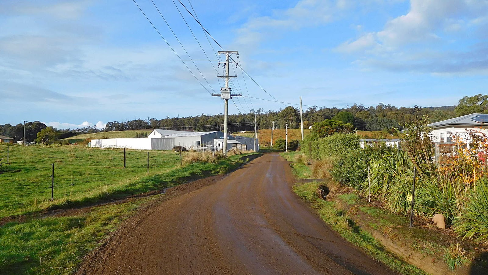
Before we go through Crippstown, we'll turn in the opposite direction and head for the hills.
We'll pass more old orchards being left to their own devices, and some relics of past ventures.
 |
| Sheep Dairy? |
I remember there was a business up here in the past, but am not sure if it was goats milk or sheep milk. I'm leaning towards the latter. Not being used anymore.
The road continues past a couple of houses before coming to a junction. One leads to a private property, the other over the bridge is Cripps Road and climbs into the hills.
 |
| The bridge crosses Masons Creek |
Cast your mind back to the beginning of the walk and the bridge over the creek in Silverwater Park. That's Masons Creek.
 |
| Old quarry |
Most of the old roads leading off the Channel Highway would have an old quarry somewhere along them. These supplied the road materials for the dirt roads common in the day. I can remember seeing a rock crusher being towed down to set up in these quarries to make the gravel.
The road climbs beside a steep gully containing an unnamed creek that runs into Masons Creek. You can see from the photos that the area would have been very different from what it is today.
 |
| Masons creek with man ferns |
 |
| The hillside is very steep |
 |
| Unnamed creek. Behind that man fern you can make out a very old and VERY large fallen tree |
The photo doesn't do the size justice, but I can tell you it was quite a big tree.
We come out into open fields on each side. This used to run up to a pig farm. There are a couple of newer homes up hill, and as I can hear a dog barking, Bryn and I will turn around here.
 |
| Woodbridge Hill Road is just beyond those trees |
We turnaround and walk back down to where Thomas Road enters Cripps Road.
We're heading north now, passing some newer homes to reach the original orchard and packing shed. This is Crippstown.
 |
| Apple packing shed |
 |
| One of the pickers huts |
The first time Val and I walked around here was many years ago and the picking season was in full swing. As we walked down here a gentleman on horseback stopped and asked if we wanted a job picking apples.
Had to turn him down. Back in those days, the Channel Highway was pretty much crap and most people lived and worked in the area. Be it fishing or apples. There were a couple of boarding houses in the area for transit workers. I could count the number of people that worked in Hobart while living down here on one hand. I think it was about three, including myself.
 |
| Looking back south through Crippstown |
It had that name because the Cripps family owned all the land and orchards around the area, living in several houses along the road.
On we go, turning left down a short hill and across Masons Creek again.
 |
| Heading down to cross Masons Creek again |
 |
| Looking back towards the hills we walked up |
 |
| Masons Creek |
 |
| A very popular area for these fellows |
 |
| No more apples, but some belted cattle |
 |
| Junction with Woodbridge Hill Road |
 |
| Looking up Woodbridge Hill Road |
 |
| We're going down towards city centre |
 |
| Very important tree to the local canine population |
 |
| Village outskirts |
 |
| Looking over Woodbridge Recreation Ground to the Fire Department |
 |
| New club rooms at the grounds |
 |
| 'Chandos' one of the original boarding houses |
It's not far to the Channel Highway junction and the Woodbridge Village Store. The Store has excellent coffee and food (takeaways at the moment) with drinks and basic groceries available.
We'll end the walk here so you can enjoy the village. Just head south past the Anglican Church and you'll see the road into Silverwater Park
One man and his dog walked 4.98km in 1:21hrs.
Click here to download GPX file


Hi Jack,
ReplyDeleteThank you for the post.
My mum (Coral Cripps) grew up in Woodbridge on an Apple Orchard in the 50's
I have been attempting to locate the house she grew up in on Google maps and find out a bit more about the family history and heritage. Unfortunately I am disadvantaged by being geographically located in South Africa.
Hi my wife and I plus 18 mth old baby boy picked apples on Crips farm about 1980 ,I remember it to be a . beautiful spot,we lasted a few weeks but the wet weather and cold was too much plus the cold vibe from Mr Cripps and our baby boy having tonsillitis was good reason to leave ,we met a really nice Indian couple I think worked on fire brigade helped us get out of town we will never forget the help they gave us back then .we remember a really beautifully place,we live on nth coast nsw from David &Cheryl's our son is in 40s thanks again if the Indian people read this maybe still on fire brigade..dwriter684@gmail.com
ReplyDeleteDoes anyone know if there is an Indian couple who worked on firebrigade I can't remember there names but they helped my wife and I plus our baby escape Cripps orchard back in about march 1980 we would really like to make contact with them it was a wet cold year our baby had tonsillitis,,the foreman on the orchard reported us to Mr Cripps for shaking trees which we didn't do ,we were informed of our sacking by Cripps who barged into our shed accommodation didn't worry about knocking I think my wife was breastfeeding ,but we were glad to leave , we were lucky to meet the couple who were Fire brigade people. dwriter684@gmail.com
ReplyDelete