Today Bob is taking us for a walk starting from the end of Pottery Road, Lenah Valley. We've walked back here before, but Bob promises new tracks and sights.
We find a place for our cars within walking distance of the gate blocking the fire trail that Pottery Rd. becomes, gear up and set off.
 |
Bob chastised me for taking wildlife photos before the walk had started!
|
 |
Parked and almost ready to go
|
We set off up the road and through the gate. As you can see by the colour of the sky, it was one of those days out of the box.
 |
A cable car-less Mt. Wellington watches over us
|
 |
There will be hills
|
It's not long before we come to the first place of interest. I had forgotten about this, I remember now having seen it in our last walk six years ago.
 |
Grassy with small stone cairns...
|
 |
...which Ron is vandalizing
|
 |
Tiny toy body bits from the look if it
|
I have no idea what these things are or who would want to trade them.
On we go.
We're still on Pottery Road.
 |
I wonder how the size of that tree compares with the past
|
 |
Moving up to the fire trail above
|
 |
Waiting for the photographer
|
 |
Looking back
|
 |
We're on the Main Fire Trail now
|
This is the junction with the Breakneck Track. Leading uphill, I was sure Bob was going to take it. But he surprised me.
 |
This is a large old stump showing what was here before
|
Unfortunately, the photo doesn't do it justice.
 |
I wonder if the others saw this?
|
 |
Doesn't look all that bad to me
|
Indeed, I don't know what all the fuss was about.
On we go, only to make a stop for some personal exploration by one of our group.
 |
There's a large old tree up there somewhere
|
I can't get a proper photo of it because of all the growth in front.
 |
Spot our explorer
|
 |
I'll fill the time with some blossom
|
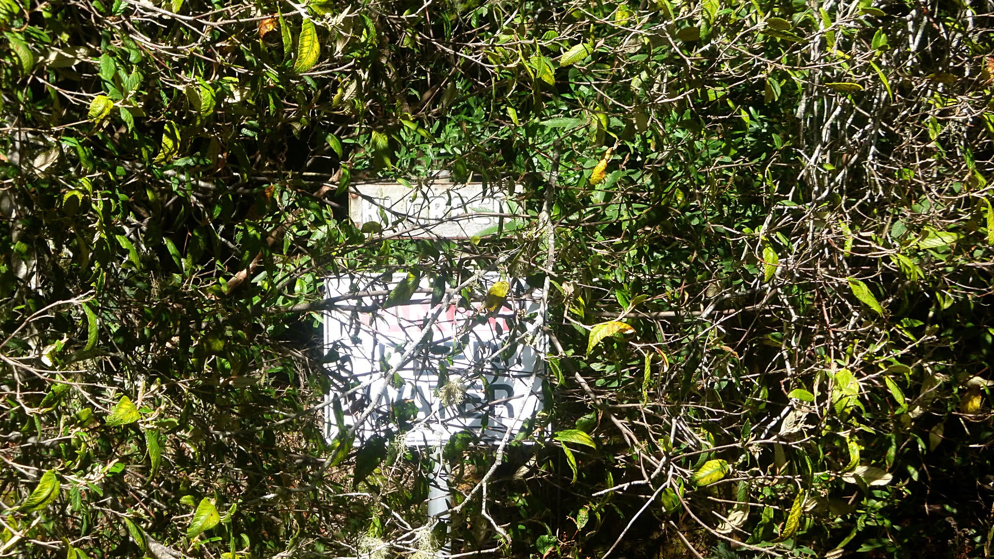
On we go, coming to a waterhole next to the track. The signs are covered by vegetation and I can't make out what the name is, nor can I find it on a map.
 |
Waterhole
|
 |
Unreadable sign
|
Blowing up the photo on the computer and I can make out something that seems to say "KI CREEK"
It's getting close to that time of day and Bob takes us a short distance down another track for Morning Tea.
 |
Morning Tea on side track
|
 |
The Main Fire Trail is just above
|
Tea finished, we walk back a short distance before Bob takes us off into the bush.
We're heading down a slope and old cut logs means we're not the first.
 |
Going down
|
 |
Some of Nature's art
|
 |
Also art
|
Almost all the bush we're walking through appears to be young growth.
 |
But not quite all
|
 |
At the bottom, a small creek
|
This should be McRobies Gully and the creek has no name.
 |
The track is quite clear here
|
 |
Climb over that...
|
 |
...and under that
|
That finished, the track becomes clear again. This is quite a pleasant area to look and walk.
 |
We're starting to climb up now
|
 |
This is why you need to look
|
Peter has found something to photograph.
We've come onto a mountain bike track now and are following that part of the way up.
I assume this is an authorized track as there appear to be quite a few bike tracks both official and unofficial on the Mountain.
Seems to me we don't really need many more as they do take a lot out of the bush and I assume cause more erosion due to the graded corners.
I doubt if walking does as much damage to the environment.
Personal opinion over, we reach the top and the New Town Track.
 |
Mountain bike track
|
 |
We follow the New Town Fire Trail
|
 |
It's much more rocky up here
|
We follow the fire trail for a short while before Bob dives off into the bush again.
 |
Off the main trail into the bush
|
 |
Some of it is a bit of a climb
|
 |
I think this is the New Town track
|
 |
It's getting close to lunch and we're looking for a spot
|
It's not long before Bob finds a good place with almost enough room to seat everyone. Except for those of us sitting on the hard, stony ground behind.
 |
Lunch ( a bit early I must say)
|
 |
The view down to a cleared area
|
Lunch finished, we begin to walk down there until a cry of "Cyclist! comes back through the line and we move aside to make room.
A lady of a certain age rides past us shouting she can't stop or "I wouldn't get started again!". Good on her.
We head to the right down there and follow another track that is easy walking.
 |
Looking back at the clearing
|
 |
I don't have a name for this track
|
We are walking on Noahs Saddle and there are several nameless tracks around here.
 |
A glimpse of Mt. Wellington and the Organ Pipes
|
If only we had a cable car running over the Organ Pipes to give them some interest.
As we walk, some at the front have discovered a note book tethered to an old stump with request for people to write their thoughts down.
 |
A request for walkers to share their feelings of this place
|
 |
I'm pretty sure an ad for a brew pub in Hobart doesn't meet the criteria
|
That's what is on the top page. The bottom page shows how walking on the mountain and it's foothills can help.
On we go, crossing an old track and down a trackless descent. At least Bob can't shout at us for taking a shortcut!
 |
Heading down
|
 |
Extremely dry up here and fire affected
|
We come to a very large water storage tank that is fenced in so we have to go around. The view below is through the fence and of the River Derwent and views Northwest.
 |
Passing the storage tank
|
 |
The road zig zags down
|
 |
We're almost back at the starting gate
|
We had 14 walkers and covered 8.95km in 3:38 hrs.
A great day and a very interesting walk thanks to Bob.
Click here to download GPX file


No comments:
Post a Comment