Wednesday, 22 September 2021

Billy Browns Falls - 21 Sep 2021


Today's walk starts at  the car park by the bridge at Judd Creek and continues up the road until the turnoff to Billy Browns Falls. We will then follow this track to the falls.

The weather was overcast and a bit chilly with an apparent temperature of around zero.


Approaching Judbury we were treated to a view of the snow on top of the distant mountain range.

(I forgot to ask Bob if these qualify as "Wee Hills").


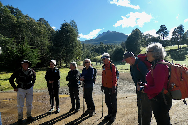
 Preparing for the start of the walk. Last time the group did this walk the bridge was washed out.


We immediately commenced walking uphill and the cool temperatures were quickly forgotten.


You can tell this is early in the walk as there are still lots of smiles.


A sign of things to come.


Morning Tea. 


Just past this point water was completely across the road and continued so for about 1km.


Road Crossing or River Crossing?


There were numerous forest giants. This is one of them.


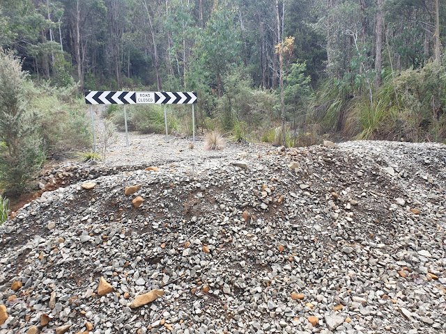
Yep - this sign is definitely correct - the road is closed!


Turn Off to Billy Browns track.

If you are observant you may notice a gathering of walkers about 20metres along the track. What happened was that Angela while stepping into what she thought was a shallow puddle of about 30cm diameter actually sunk about knee deep into a spring.  It certainly added some entertainment when she suddenly sunk.


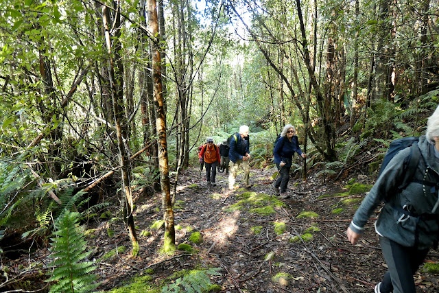
The track to the falls is about 1km long - the first half is a steady climb and for the last 500 metres the track decends very steeply, and in some places very norrow. 


What have we here? Is it a mythical creature roaming the forest?

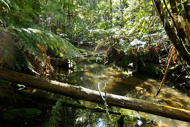
It is actually Chris helping me out. The tree in the foreground appeared to be floating and I asked him to help me get some perspective to the picture by getting behind the tree.

Some recent storm damage.


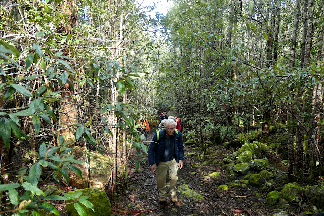
An interesting rock covered in moss.


This giant of the forest was quite spectacular.


Final decent to the falls and first glimpse of the water through the trees.


It was well worth the walk.


Lunch by the falls.

Climbing out from the falls


These 2 fallen trees caught my eye as they form a perfect right angle!  

Home straight!

Today we covered 9kms in 4.25 hrs while climbing 582 metres .


Thursday, 16 September 2021

Mountain River - 14 Sep 2021


 Despite the recent days windy and wet weather today it is clear sunny skies with barely any wind and an ideal today for Bob to lead us on our walk from Mountain River to the East West Track on Mt Wellington and return.

Only a couple of today's walkers have done this walk previously.

The track starts at the end of Mountain River Road and immediately begins its climb up the back of Mt Wellington.

Collins Bonnet (Sleeping Beauty) with a dusting of snow from the carpark. Our objective is the saddle between it and Trestle Mountain.

Bob providing the briefing before we depart.


The climb begins immediately on entering the track.

A very large bracket fungi when compared to a smart phone.


Mountain River valley is just beyond these trees.


The track levels out and it appears that this was an area that was logged prior to becoming part of Wellington Park. From brief research there were a couple of sawmills in this area in 1865 prior to the Huon Road being constructed. The timber was carted down to the Huon River where it was shipped to Hobart.


Remnants of an old logged stump.


This stump is possibly the remains of a tree burnt in the 1967 fire.


This log which was quite large didn't make to the sawmill.


Our lunch spot in the sun.

The largest of the creeks that we cross during the climb.

And another creek.

Now the real climb begins.


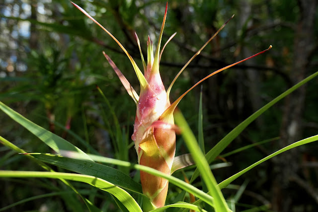
The first of the Richea Dracophylla flowers starting to emerge.

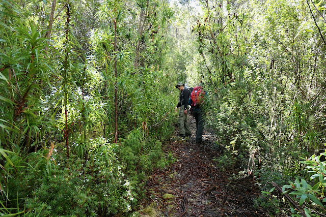
Then we were in a forest of Richea along the track.

This stump is still attached to the tree the top of which is probably 40metres down the hill.

The first glimpse of Trestle Mountain.


Richea Dracophylla.


The track here has been built up about 7 metres across a watercourse forming a large enclosed valley.


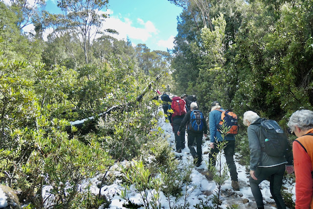
Some snow in shade along the track.

Collins Bonnet close up.


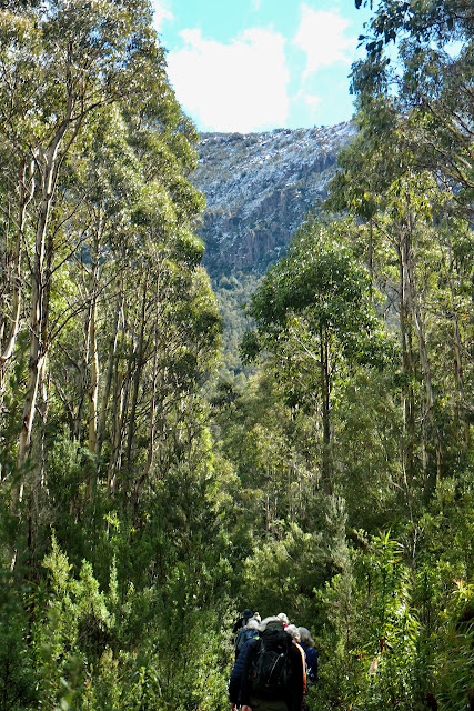
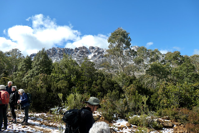
Trestle Mountain.


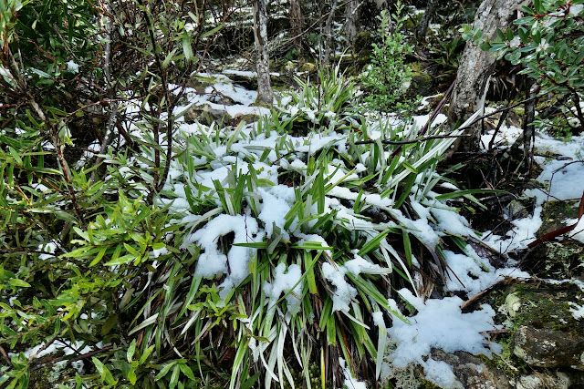
Snow covered Astelia Alpina (Pineapple Grass).

Tasmanian walking has to include water running down the track.


A moon-rise over Collins Bonnet.

Another view of Trestle Mountain.

Lunch at the East West Track junction.

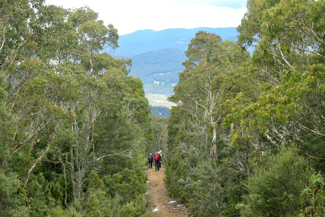
Looking down the Huon Valley.

Snake Island off Franklin with snow on the Southern Ranges in the far distance.


More walking in water.

Mountain River valley.

Snow gums colours.

A small creek and waterfall just of the track.


Anopterus glandulosus (Native Laurel) plants growing on a moss covered log.


There were 12 walkers who covered 11.86 kms in 6 hours with a  climb and descent of 777 metres.