The walk today is to climb Mt Direction on the Eastern Shore which we have previously climbed
from different directions.
Today we will be starting at the car park at Risdon Brook Dam.
The weather is forecast to be a fine winters day so everyone is looking forward to the walk.
A sunny day greets us as we leave the cars.But not until after the obligatory photo.
And we tried hard to maintain 1.5 metrs distance as per the sign.
Across the dam wall.
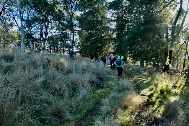
In the bush at last.
We will see how we go against the track notes.
A sure sign of a relaxed walking group is the number of hands in pockets as we start the climb.
Mount Wellington with remainder of the last snow fall under the clouds.
The first of a number of stops to look back from where we have come and see the new developments on the hills behind.
I wonder whether this old dead tree was here before Hobart was settled in 1804 just 218 years ago.
Morning tea in the sunshine.
I missed the comments that Chris was making at this point but I realised quite soon that he was mentioning the word "steep".
This is where it started.
The Tasman Bridge.
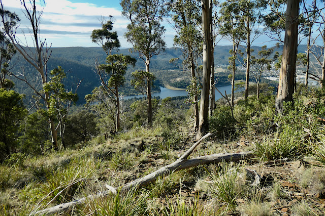
Looking down on Risdon Brook Dam.
The peak in the distance is another of our regular walks to "Madman's Hill".
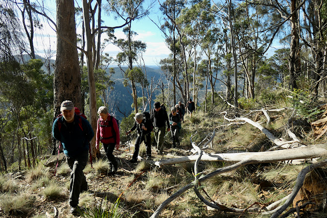
Still going up although now we are going cross country.
Until we find another track still climbing.
At last it seems to have levelled out somewhat.
Looking up the Derwent towards Granton and Bridgewater.
A panorama that includes Mt Faulkner on the western side of the Derwent and Gunners Quoin on the eastern side.
At last we reached the cairn on the top of Mt Direction.
After lunch we take a minor deviation to climb to the lower knoll a short distance from the main peak.
This old tree marks the secondary knoll and has also been here a long time.
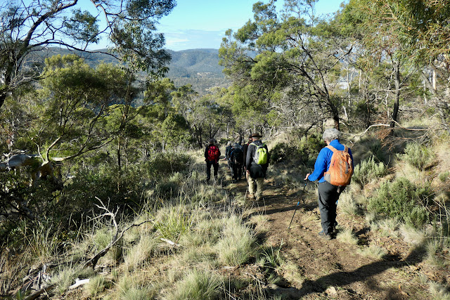
The group spreads out on the return journey to the track down to the carpark.
There were 12 walkers who covered 9.2 kms over 3 hours and 45 minutes and climbed 428 meters in the process.
Click here to download GPX file


 I
I 


No comments:
Post a Comment