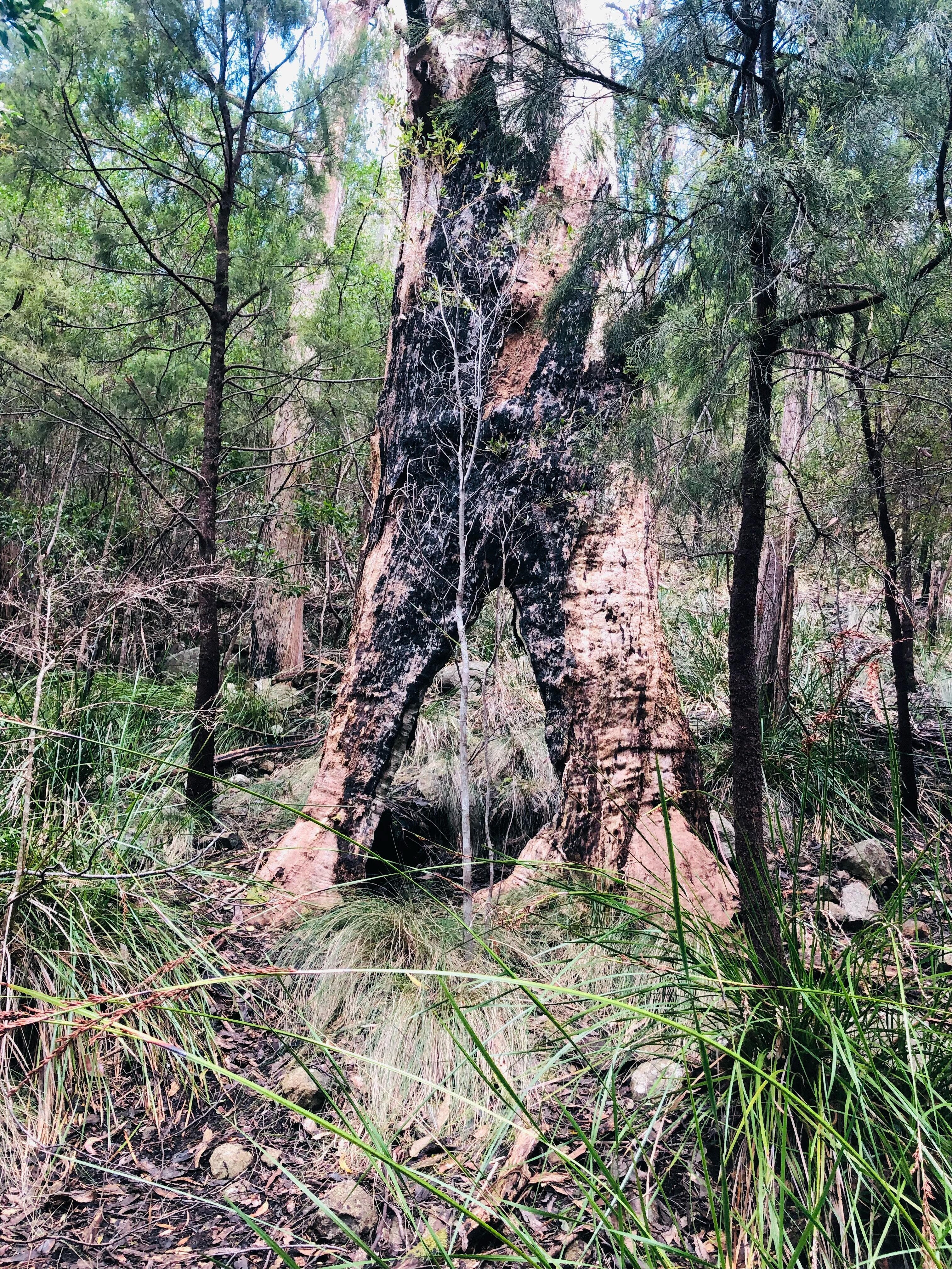
The first 1.5kms was through dry bush - in this section the tracks were often degraded with evidence of overuse and tyre grooves resulting in pools of stagnant water.


A clear view of Mt Wellington

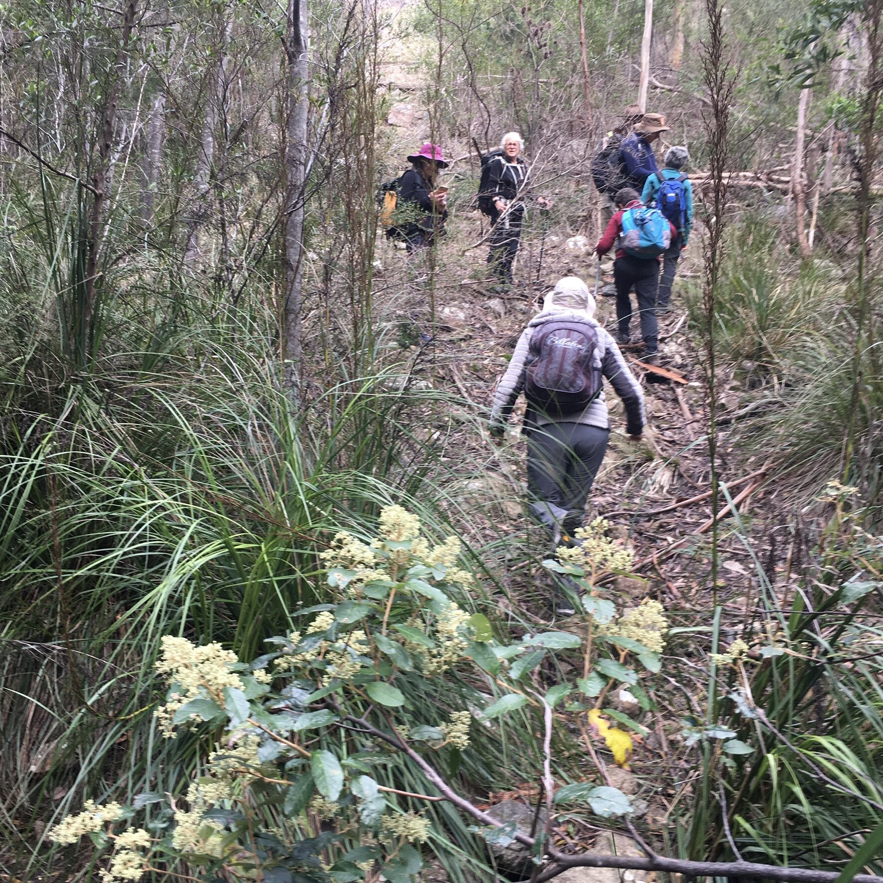
For the next 2kms we follow the route of a water pipe. It is an interesting track as in parts it is easy walking on open ground, other sections are badly overgrown with obstacles as well as 3 creek crossings with steep descents over slippery terrain and of course there are steep uphill sections.

Oops!

Has this photo been posed?


Morning tea

After morning tea we continue until we reach an intersection and take the right had track.


A short way along this track those who haven't done this walk before get a surprise when we reach a tower in the bush.
On a previous walk Jack the creator of this blog did some research found that ... "The antennas, the fenced off area and the building are used for research into the ionosphere. There are, from memory, 5 other stations in Australia and they all can link to perform experimental exploration of the ionosphere, along with others overseas. It's located in this gully to exclude as much outside radio interference as possible."

For just over 1km we follow the creek using what can only loosely be termed a "track" as in a lot of spots it was badly overgrown. Along this section we passed very close to a birds nest which had some young inside and a bit further along a young ring tail possum was climbing a small tree only meters from us (it's unusual to see possums this time of day).


Birds nest (dark brown mass in the centre of photo) with young birds


Looking at the possum


We leave the creek and start our accent towards the top of Mount Nelson - the track immediately improves. By unanimous agreement lunch was taken as soon as a sunny spot was found. The slope of our climb is evident in the photo

Towards Mt Nelson


Looking towards the Iron Pot

Albion Heights Comms site with the tower.

Making our way towards Nelson Road


Along Brinsmead Rd we come across this tree which has nesting boxes for the endangered Swift Parrot attached to it

Today we covered about 11.5kms in 5hrs .. the elevation profile clearly shows the 3 creek crossings and their gullies in the first 4kms of the walk.
Four photographers provided today's pictures - Margaret, Val, Jenny and Chris.
Click here to download GPX file


No comments:
Post a Comment