Today is a new walk which will be mainly on the Blendon Hill property. The forecast is for a bright sunny day of 29 degrees with only a slight breeze.
We meet at Elderslie Road and follow Ingrid (today's leader) to the start of the walk.
Boots on then off we go
We soon come to the first gate (the first of many we will use today). The ridge in the background is used by hang gliders (our circuit will take us up there later in the day). At one time they had problems with eagles attacking their equipment. The sculpture on the fence depicts an eagle which has grabbed a hang glider - the red item represents the sail and the blue bit the harness and some of the wires used by the glider.
We cross the Jordan River and start the climb heading towards Goat Hill
Climbing is hot work so we stop for a drink
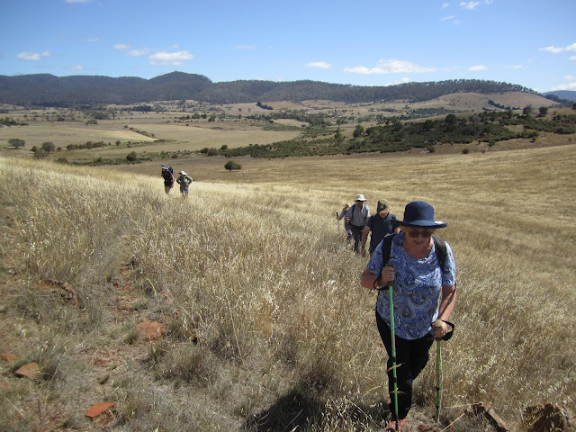
Gaining some height
Almost to the top of one of the hills adjoining Goat Hill
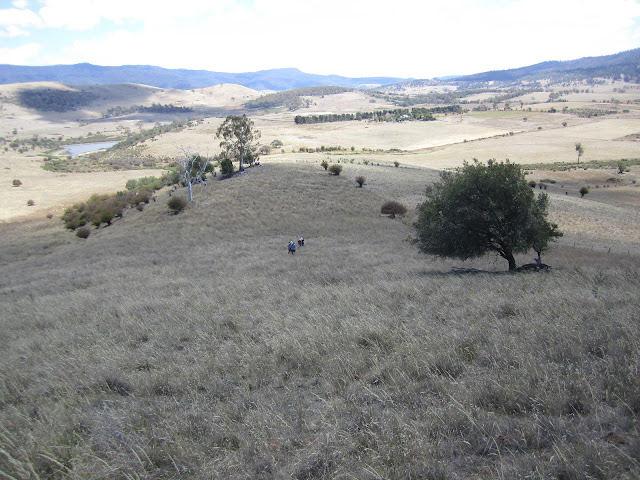
After a short break to admire the view we start of down the other side.
Is this a new dance?
We find a shady spot and decide its a good time for morning tea
Continuing after morning tea we have to cross a section of thick gorse - it takes a while to find a path through it
Crossing Mangalore Creek - it has no water in it
With the gorse behind us we head off through the paddocks going towards Black Brush Road. It is very obvious how dry everything is.
Black Brush Road
And then along HopevaleRoad
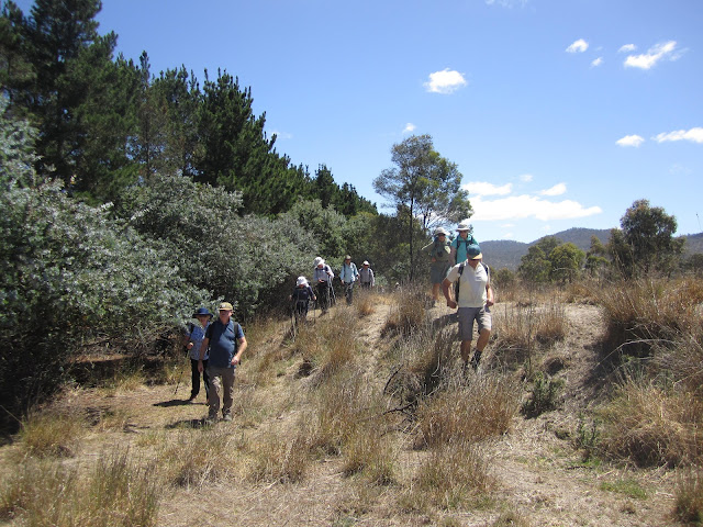
A welcome bit of shade
It was starting to warm up and frequent drink stops were required
We come across a herd of about 15 alpacas who were amongst the trees sheltering from the sun .. have Sally and Ingrid made a friend?
Say and Yong inspecting some farm equipment - not sure what it is though
A flock of geese in the next field
Not sure what this hole is .. Ingrid was hopeful that it was a wombat hole but as she couldn't find any signs such as scats, footprints etc. she suspects that it is a rabbit burrow
Final climb to our lunch
A nice shady spot
Lunch over we continue the climb towards Winton Hill
Looking back - we had lunch underneath the large gum tree
A striking tree
We reach the highest point of today's walk.
The aerial is part of the equipment which gathers weather data and sends it out to the hang gliders - they can access this info on the internet which helps them decide if the conditions are suitable for gliding or not before they commit to a journey to Winton Hill
It's now downhill on our journey back to the cars
Another gate
Its getting hot now and we stop in the shade of this old hawthorne tree for a drink of water
Can anyone else see the similarities between the above photo and one I took earlier in today's walk
Across the Jordan River again
Almost back to cars these ram's horns were spotted amongst the plants
Today we walked 10.5kms in just under 5 hours. As the temperature reached 30 degrees (official BOM records show 29.9 for Broadmarsh so I think it is fair enough to claim 30 degrees) we didn't rush the walk but took our time.
Thanks to Ingrid for organising an interesting walk which was enjoyed by all in an area where we hadn't been before.
Click on this link to download GPX file


No comments:
Post a Comment