Today we're walking from Summerleas Rd. to Leslie Vale and return, led by Bob.
We park just after the pavement finishes, in an old quarry on Summerleas Rd.
Starting off, we walk into an unmarked gravel road that borders the quarry which, on LISTmap is shown as Cripps Rd. and as a public reserve. This leads us to a turnoff that begins climbing and runs parallel to power lines.
 |
| The road parallels Fawcett Rivulet which has very little water in it |
 |
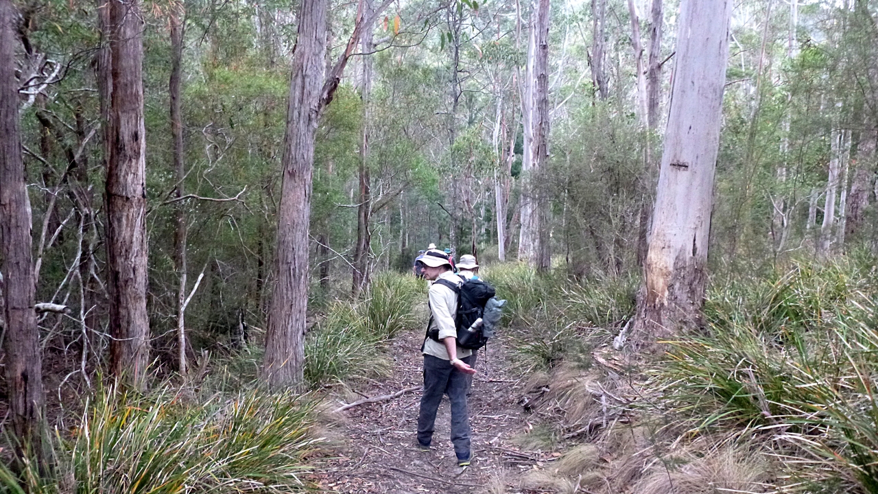
| Up Cripps Rd. |
 |
| Turning off to climb under the power lines |
There were a few groans going up, particularly when we turned off the road to begin climbing up Picket Hill. It was here that Bob informed me it was all my fault.
It seems because I went against nature when I led the walk in Kettering by going clockwise, it altered all the laws of walking and caused us to climb when we're usually descending, as we're doing now.
I imagine that from the start of our climbing it's over a kilometer, but we finally reach the top and it's easy walking with views.
 |
| The back of Mt. Wellington. The weather stayed dry |
 |
| Looking over Kingston to the Derwent river |
 |
| Still climbing |
We walk on the Picket Hill track towards Leslie Vale where we'll have Morning Tea.
Tea finished, we walk out to Leslie Rd. and find the start of the Leslie Vale track.
It's a wide track and used by mountain bikes, walkers and, as we're in horse country, riders.
 |
| Looking south |
 |
| Cathedral Rock |
 |
| Interested locals |
We walk a large loop that comes back to Leslie Rd., via Bullock Drive, where we turn right.
We're heading now for the Leslie Vale Oval for lunch.
 |
| Information on the trails |
 |
| Still green here at the moment |
 |
| I wonder what the name of the horse on the right is? |
 |
| It's that rock again |
 |
| Leslie Vale Oval |
There's a convenient pile of rock and a seat off to one side to accommodate all for lunch.
I have a wander around after I finish and take a couple of photos of the facilities. I missed out the toilets and the kids playground.
 |
| Cricket pitch on the left |
 |
| Swanky clubhouse... |
 |
| ...which is well insulated as it gets cold up here |
We'll draw a veil over some of the proceedings after lunch, let's just say we somehow found ourselves on the other side of the fence and are heading back.
 |
| How did we get here? |
 |
| It's an old cattle track |
 |
| We follow a couple of old roads into open bush |
We come out onto the gravel road that heads downhill towards the power lines from earlier.
Soon we come to an unmarked track that leads down towards Fawcett Rivulet and we go into stealth mode again. However, looking at LISTmap, this appears to run through a local government reserve, that includes the rivulet, Cripps Rd. and this little track.
We continue along Cripps Rd. to the cars.
We had 12 walkers and covered 10.9km in 3:53hrs. It was a good walk on a good day.
My phone app said 14.25km and has been scrapped as everything else, map, Google Earth etc. agreed with 10.9km
Now a little confession. In a spare moment I asked Professor Google what the meaning of my last name was. The good Professor went through all the variations in spelling back to old English to a word that means 'hill'. It's going to be hard in the future to complain about Bob leading us up a hill when I am one!
Click here to download GPX file


No comments:
Post a Comment