Today it's my turn to lead a walk and we're making our way to Thark Ridge on Mt. Wellington.
I checked the weather for the top of the mountain around 7am and it was cool (around 6C) with some cloud on top. The two webcams confirmed the cloud, but visibility was good enough, plus it was supposed to clear.
Click Here to view the webcams on top of Mt. Wellington.
We met at Kingston as usual and were due to meet others at the old quarry at Fern Tree. There was a delay in Summerleas Road because a large gum tree was being taken down right beside the road. We had a good view of the brave fellow working right at the top cutting branches. It wasn't a long delay and soon we reached Fern Tree to find some more walkers.
Actually, more than I expected. Due to a mix up in time tables, there was a walker from another walking club who asked if he could join us for the day. No problem, welcome aboard Clive.
We left Fern Tree to continue up Pinnacle Road to the parking area past Big Bend. Due to the tree cutting delay, we had to wait a while for the rest to show up.
There was some discussion before we started as to whether I knew the proper route. I did. And I had the technology to back it up. So, off we go.
 |
| Waiting in the gloom. Hobart's down there somewhere |
 |
| Looks good to me |
We walked here in 2014, led by Gordon and we celebrated his 80th birthday if I remember correctly.
Before that we walked the same track in 2013. It's a lot of rock hopping as I recall, good leg exercise.
 |
| Part of the track |
 |
| A bit of colour. There were many flowering bushes around |
 |
| Looking south and the first sign of clearing |
It's very pretty up here with rocks, low shrubs, ferns and twisted tree trunks.
 |
| Sub-alpine snow gums and friends |
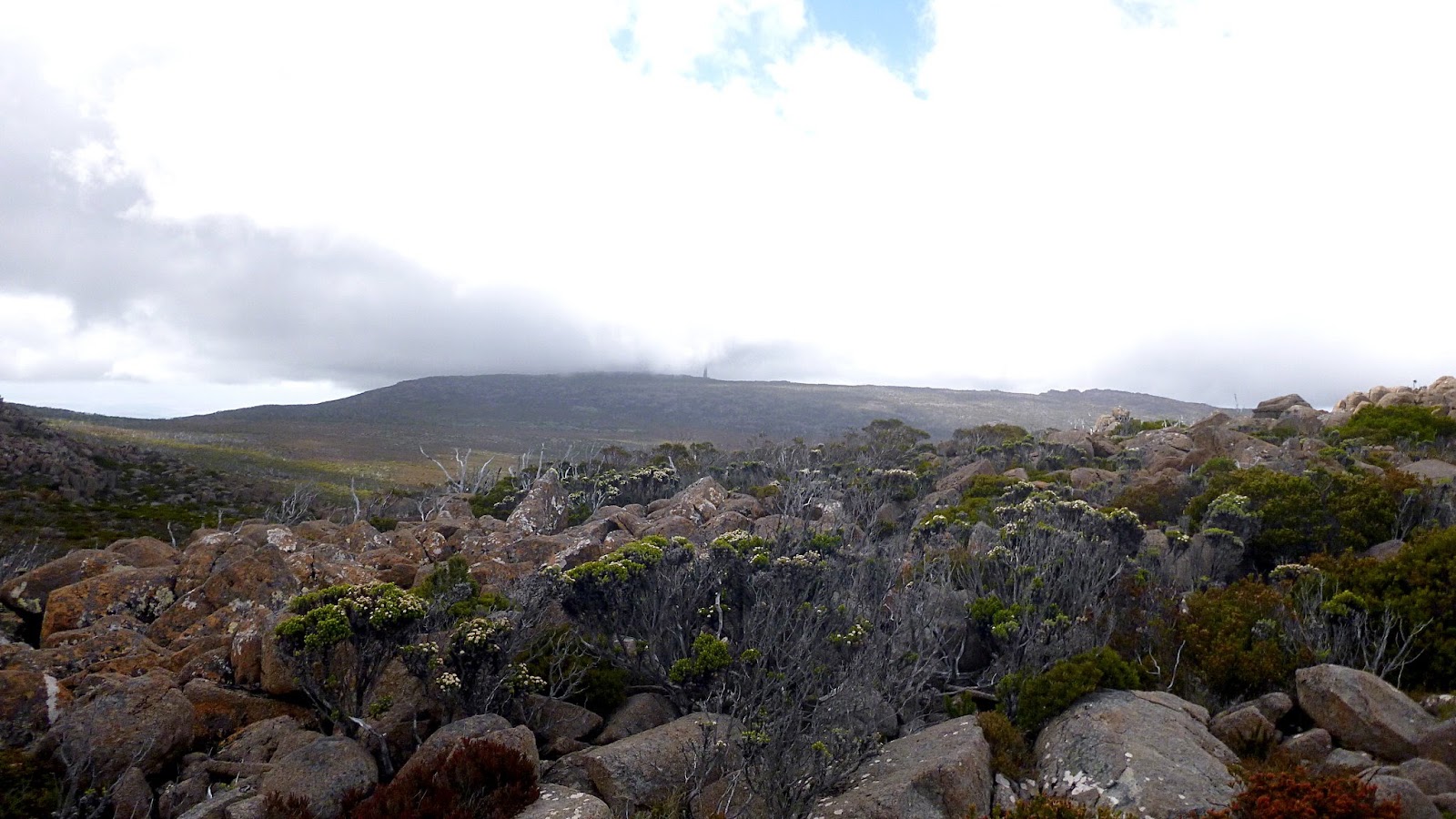
 |
| Thark Ridge in the distance |
 |
| The weather can't make up its mind. Not unusual up here |
 |
| Typical track marker - yellow arrow on dark post |
 |
| Morning Tea |
I had to find a spot with enough rocks to seat everyone. Not a problem up here.
 |
| Some of the plant life |
 |
| The track |
 |
| A few are still smiling. Maybe I'm not doing it right |
 |
| We're getting closer... |
 |
| ...and views are appearing |
We continue on, the track is clearly marked with posts and yellow arrows.
 |
| Looking back at the peak. The T.V. transmitting tower is beginning to appear |
 |
| Still heading up |
 |
| Looking south |
We continue on and looking at my GPS, we're still on track.
 |
| Looking over North West Bay and Margate |
We're heading for the Municipal Cairn which marks the joining of corners of Hobart, Glenorchy and Kingborough councils.
We walk along until Tas spots the cairn on our left, so we turn off for lunch.
 |
| Municipal Cairn |
We find various spots and settle for our break. Carol sits next to the cairn and finds a new, possibly pregnant, friend.
 |
| Lunch with a view |
 |
| Carol's new best friend |
 |
| Perhaps a little salmon... |
 |
| ...and something to wash it down |
Lunch finished, we head back.
 |
| We get a bit spread out |
 |
| We say goodbye to Thark Ridge |
 |
| Stop, drink, admire the view break |
You need to stop and look around in this environment, as you spend most of your time walking head down, looking for obstacles that might trip you up.
On we go and it's quite warm now.
 |
| Just to prove we do some clambering on our walks |
 |
| Ron and myself leading from the front. Photo by Carol |
I removed my glasses as the transition lens were turning too dark in this environment, plus I craved anonymity. Which raises the question of how, without my most distinguishing feature, Carol located me in the crowd to take the photo below?
 |
| Photo by Carol |
We had a couple of helicopters fly above us, this one appeared to be the rescue copter. It wasn't for us, I'm glad to say.
 |
| Looks like the rescue copter |
 |
| The transmission towers are in the clear now |
 |
| Back to the cars |
 |
| End of the trail |
I enjoyed the walk. We had 19 walkers which is quite a lot for us. 7.28km in 4:46hrs was covered.
We owe a debt of thanks to the Wellington Park Bushcare Group for looking after this track and others on the mountain.
If you want to see their work
Click Here
Click here to download GPX file


No comments:
Post a Comment