Today we're heading for the clifftop on the Skyline Trail in the Meehan Hills, leaving from the end of Belbins Road near Cambridge.
This is my chance to correct my error of 2015 when I took the group on the wrong track.
We park at the turning circle and set off on another beautiful day.
In answer to a couple of questions re the Meehan Range and information received, I can tell you this. The name comes from James Meehan, the first registered surveyor to work in the Hobart area, actually Risdon. Despite trials and tribulations, he performed a survey of buildings and layout of the government site at Risdon for Lieutenant Bowen. That was, of course, before everything moved to the site of Hobart today.
In answer to the size of the Meehan Hills, they extend from Brighton to Lauderdale, but not in a continuous rib, but including all the high points along the way.
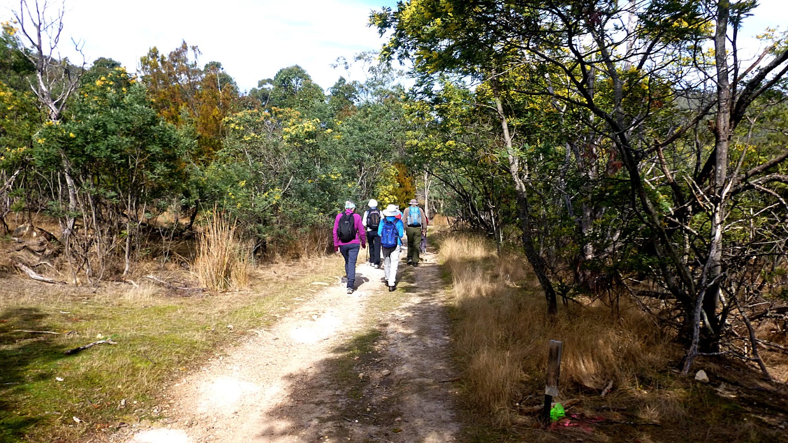
 |
| The start |
 |
| We're heading up Stringy Bark Gully |
 |
| Wartime remains |
To read an interesting interview that was on the ABC back in 2015 with Adrian Belbin who grew up in the area, CLICK HERE
On we go, it's an easy walk as we cross the Barilla Rivulet several times until we reach the decision point below.

I arrived from taking photos to find the group stopped here. We can either climb the rough track leading straight ahead or bear right onto the bike track. I pretended to be a kind leader and took them right onto the zig zag track which is easier walking. In truth, I always intended to go this way as taking the other would cut a large chunk of the walk out. If you look at the Google Earth photo of the walk, you can just make out that track as a white line near the top.


 |
| Temperatures are beginning to climb causing clothing removal |
 |
| I was impressed that no one took advantage of this shortcut |

 |
| It's only difficult if you're riding a bike down |
 |
| Morning Tea |
 |
| On our way to make the short loop at the top of the track |


 |
| Looking down |
 |
| A line of cliffs in the distance. Not ours |
 |
| We are high enough to have a few brief glimpses of Hobart |
We continue on until we reach the spot where I went wrong before. I explain this and, as you can see from the photo, everyone was terribly interested.
 |
| "Did he say something?"... |
At this point we take the small side track that will lead us to the cliff top. The bush is quite dry and open here.

 |
| Along the way, we have a taste of what's to come |

 |
| We've reached the cliffs |

You can walk/ride along the cliff top, in this section there is another step about 3 metres wide just below this edge so if you did ride off you'd probably be o.k.
It's here where we have good views of the western shore.

 |
| Mt. Wellington with the Hobart Domain just below |


 |
| Hobart. I think the orange ship is Australia's new RSV Nuyina, the Antarctic research vessel |
 |
| Strange being with strange lettering |
I was going to say "Ah, to be young again!", but actually even if I was, I certainly wouldn't be doing it!
Tas and I are at the front when Tas recognises this gum as the Risdon peppermint or Eucalyptus risdonii, endemic to the Hobart area, mainly Risdon and Grasstree Hill.
 |
| Risdon peppermint |

After a couple of junctions, we reach a choice of three tracks. I initially choose the wrong one, but we quickly realize and return to take the Corkscrew track down as it appears to be the most interesting. Next time, I'm going to take the dinosaur track just to have a look.
We start down a bike track before reaching a point that directs walkers onto another, older track. There are many, many bike tracks in the area and you are advised to obey these signs when you come upon them to prevent accidents.
Some people are concerned about the multitude of bike tracks, but they do open up new areas for walks.
 |
| We're heading down the Corkscrew |
 |
| We'll go down here next time |
 |
| The loose surface can be a bit tricky |

 |
| More cliffs |

Being a gentleman, Bob has offered his arm to Jenny as an aid for the slippery bits. Someone standing near me offered the suggestion that the photo below looks like a wedding procession. Bob was quite chuffed until someone else pointed out he was in the position of being the father of the bride!
I had to ask Jenny several times to keep her Dad under control.

 |
| A bit of erosion |
 |
| I've still not found out what was here before |
 |
| Look carefully and you can see the stone abutment of the old Bellerive to Sorell Railway |
The railway opened in 1892 and closed in 1926 and ran from a terminal at the end of a pier at Bellerive for almost 24km and included a 256 metre stone causeway, a 582 metre timber viaduct and a 164 metre stone tunnel. Passengers and freight were carried. Not in luxury though, I see one patron was quoted saying "Coming in today I almost had my arse pinched off”. That sounds painful.
 |
| Bellerive to Sorell Railway |


After lunch we walk down and head along the old train track to begin our return to the cars.

Many bike tracks have been added and this has greatly changed the walking route back. As we near Belbin Road, I have one more diversion. There is a track that will take us to the private road leading down to the car park. This is a bike track now, and true to form is where we meet the only two riders today. A couple of cheerful blokes as surprised to see us as we them.
On we go and just as someone is wondering how the many tracks in the area were built we come across the answer and the scene of a terrible accident.
 |
| Unfortunate track builder. You have to respect your equipment or it will turnaround and bite you |


This is more pleasant than walking down Belbins Road and we shortly arrive back at the cars.
We had 14 walkers and covered 10.78km in 3:54hrs. A good walk and great weather. I think everyone had a good time.
I would like to thank the MRTG or Meehan Range Trail Groomers, the volunteers who maintain and develop trails in the Meehan Range with their working bees.
Click here to download GPX file


No comments:
Post a Comment