Today we're walking not too far from home on the South Lea. Parking just off the Southern Outlet on Proctors Road, we gear up and set off on a walk last done back in 2015.
We start out walking under the Outlet, passing an interesting mountain style garden on our left.
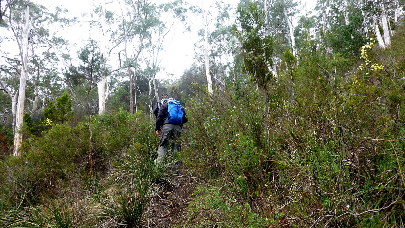
 |
| Lots of colour appearing in the bush |
A short distance after the underpass, we head right around a gate on what used to be an old road. It's still a road, but has been regraded and re-gravelled, for what purpose we don't yet know. The last time we were here, it was barely passable due to undergrowth.
 |
| 2017 |
 |
| 2015 |
The answer is soon revealed as we reach a spot where we turn uphill. There is a stash of water and a caravan in an open site. Someone is going to build.
Checking the maps, this is now private land, so this is the last time we come this way. Never fear though, Bob knows another way!
On we climb, the road is back to being what it was the first time we came here.
 |
| Judging from old truck parts and chassis in the bush. This was logged in the dim past |
 |
| A fungus |
 |
| We start down into our first valley |
As you can see from the Google Earth photo at the end, we are going to traverse three valleys.
We start the climb up, this track was/is the site of old water mains and we soon come to a reminder of that.
 |
| Down and up |
 |
| I don't know if it's still in use |
The last time we were here we met a couple of fellows in a Taswater ute heading down. I still wonder where they found room to turnaround as once they reach the bottom there is nowhere to go.
We don't have that problem, it takes very little room for us to turnaround. Not that we do.
There are the remains of old valves and weirs in the little creeks at
the bottom of the valleys. I don't know if any are still used. I doubt
it.
 |
| We reach a spot where we can see the scar of the landslide on Mt. Wellington |
 |
| Up |
 |
| Down |
 |
| Rocks to the right as we clamber down... |
 |
| ...and water in the creek |
We climb up again and reach a wide open area with tracks leading off in several directions. But we know where to go.
 |
| Mt. Wellington |
 |
| Down again, but we turn right at the bottom, heading for Morning Tea |
We follow the little creek down to a spot near a fenced building. According to my information from the blog in 2015, this is used for ionosphere research along with 5 other stations in Australia. The location has little external radio interference, so is a good spot for research.
 |
| Ionosphere Research station (taken through the fence) |
 |
| Unmanned |
 |
| The small antenna field extends beyond the fence into our break spot |
Break finished, we walk back up the creek, passing our original turn off. It's more of a livestock track than anything else.
 |
| Lots of tall gums here |
 |
| Now you see them... |
 |
| ...now you don't |
We reach a spot where we cross the creek and start a steep climb.
 |
| Are we having fun yet? |
We pick up another track and continue up, but it's not as steep now.
Along the way, we pass this pond with its island.
 |
| Looking back |
 |
| The pond |
 |
| The Iron Pot light in the distance |
Next we pass the Transend repeater site with Tas Maritime Radio sharing the location.
 |
| Peter spots an orchid! |
I think he identified it as a Bearded Greenhood or, as we all know it, the
Pterostylis plumosa.
 |
| Development at Mt. Nelson |
More trees down.
Reaching Nelson Rd. we make our way to the Mt. Nelson Oval for lunch. Afterwards we walk down until we reach an entry to the reserve. From here it's a downhill walk until we reach our original road in, taking us back to the cars.
We had 10 walkers and covered 10.5km in 4:32hrs. The weather was fine as was the bush.
Click here to download GPX file


No comments:
Post a Comment