Today we're headed to Mt. Misery, located outside of Ranelagh and home of Huon Bush Retreats. The tracks are on their land and they generously allow walkers to use them.
We find parking spots in the areas indicated and set off. Up hill, of course.
 |
| Heading off, more of us up ahead |
There is a shelter for people/parties to enter their details and make a voluntary donation. Having taken care of both, we continue on.
 |
| There are signs near all places of interest |
We soon enter the rain forest and it becomes darker and damper. This is a steady, but not too steep climb. Stone steps have been provided, but watch your step as they are wet and covered with leaves.
 |
| Man-ferns do well here |
 |
| At the foot of a giant |
This area was logged in the past and most of the trees are fairly young. Occasionally, you spot an old one.
Being a wet environment, fungus does well here. The photos aren't the best as my little camera struggles with the dim light but they'll give you an idea of the variety.
 |
| Almost looks like a flower |
We pass a fenced off lookout - just open the gate and you can enter. On we go, still climbing until we reach the bottom of a cliff where we'll have Morning Tea before the short climb onto the plateau.
 |
| We're getting near the top, Fletchers Hill it's called |
 |
| Looking down |
 |
| Morning Tea |
 |
| Spot this just before the final climb up the cliff |
There are stone steps that make it easy to climb onto the track leading to Flat Rock.
Signs indicate that there are marks made by the Aboriginals to mark territory or other places important to them. However, these marks are not pointed out to keep them safe.
 |
| The track above the cliff |
 |
| Peter lays claim to Flat Rock |
The views are all around, but today is a bit cloudy. Harking back to my comment re marks on the rocks, there are a few on flat rock, most modern.
 |
| I'm guessing this is not Aboriginal in origin... |
 |
| ...maybe these? |
On we go, heading towards Mt. Misery. The track now is relatively flat and easy walking.
 |
| Leaving Flat Rock for Mt. Misery |
 |
| This area was caught up in a bushfire in 2007 |
 |
| Shows the fire burning on top |
 |
| As it looks now |
 |
| These signs convey some of the local Aboriginal beliefs |
 |
| The end is ahead |
We reach a large rock where I remember we had lunch before. Bob and I decide to have an early lunch as there is a cool breeze that would make it unpleasant without shelter.
 |
| The view |
 |
| Some look for a sheltered area on top |
 |
| Others look farther down |
I have a look around and find an opening that appears to lead to the other
side as I can see daylight.
 |
| Daylight at the far end |
Scouting around, I push through and find a rough track leading to the other side of the rock. This would offer some shelter in bad weather.
 |
| Down hill side of the rock |
 |
| The other end of the opening I saw earlier |
 |
| Looking up, I can hear the others having lunch on top |
The track appears to lead downhill from here. Not a marked track.
I stood for a few minutes and contemplated how the native people lived in past times. No doubt, they could spot bush tucker where I would see nothing.
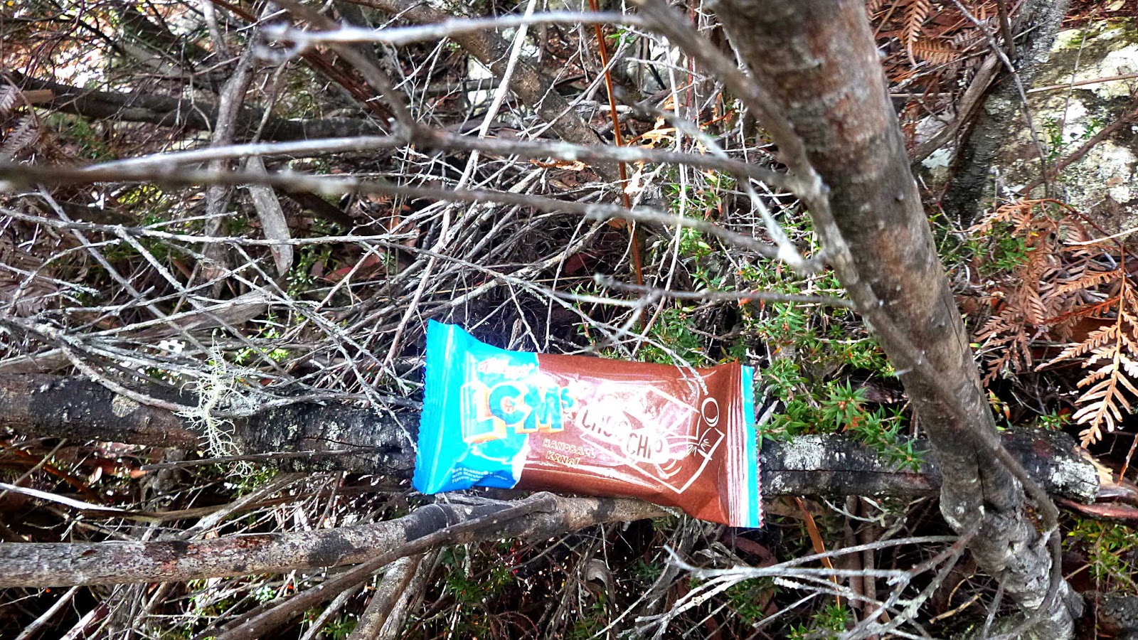
Looking around, I found it's not difficult at all to spot food in the bush. Just beside me was an example - and it's still not reached its use by date!
 |
| This was sitting in a bush next me. Unopened and good until 20th of June 2018 |
I hope the real bush tucker is better quality than chocolate covered marshmallow flavoured rice bubbles!
I made my way back, walking down towards the signs where I found a gentleman on his own with camera and pack who asked me if the trig point was near by.
Luckily, not long before Mendelt had crashed his way through the bush, found the trig point and taken a selfie.
Having see where Mendelt had returned, I confidently pointed up and said "That way."
Hope he made it back.
Lunch over, some of the others explored the track around the bottom of the rock. On their return, we set off back towards Flat Rock, but not before some other walkers arrived.
 |
| Lunch over, we head back |
On the way in, we had passed several ant mounds, some quite large.
 |
| Ant mound with foot for size |
I didn't keep my foot there for long as the ants are large also!
Reaching the plateau, the sky has cleared somewhat so the photos below show the views.
 |
| Heading back to the steps down the cliff |
We make our way back down our original track, heading for a turn off that leads to a waterfall and a special tree.
Bob finds the turn off and we start down hill, crossing over fallen trees, climbing up rock steps and over a wooden bridge.
On the way we find some interesting bracket fungus.
After a discussion about the fungus, we continue on.
 |
| Passing a sign of past timber getting |
 |
| Peter spots a steep drop off just off to the side |
 |
| More fungus |
 |
| Very popular area for bracket fungus |
Finally, we reach the lightning tree.
 |
| The lightning tree. You pass through a large hollow space, exiting on the other side. |
|
 |
| This sign tells the story |
We continue down and it's not long before we reach the water fall. Not much water unfortunately.
 |
| Reading the display signs |
 |
| What the sign shows... |
 |
| ...what it looks like. Just a couple of dribbles of water |
Never mind, it was an interesting walk down. Back up we go and head back to the cars. But there are still things to see along the way.
 |
| Certainly stands out from the rest |
We had 17 walkers and covered 7.21km in 3:55hrs. Not a long walk, but quite a pretty one. Thanks to Bob for guiding us.
Click here to download GPX file


No comments:
Post a Comment