This is a walk that first took place back in 2015, and it's one I missed due to a flat battery. I did my own walk at the time, catching up with the others just as they were returning to the cars.
Bob is leading us today. My battery is just fine and Bob has a couple of optional extras we may be able to take advantage of. I'll cover those later.
The weather is warm with some sunshine as we park at Risdon Brook Dam. We were lucky to get a park as there are cars, buses and hundreds of school children arriving for some athletics event taking place around the dam.
We do manage to find three places, gear up and set off across the dam.
 |
| Heading towards the dam |
We cross the dam, following the ring road for a short distance.
 |
| Leaving the road around the reservoir, we head up our first hill |
This also leaves all the school kids behind.
 |
| There are old and new tracks everywhere |
 |
| Looking back |
|
|
The track keeps climbing towards power lines which we'll follow.
 |
| That's Madmans Hill on the right |
 |
| We reach a spot where a view over the River Derwent north of Hobart appears |
This overlooks Old Beach, Gagebrook and Bridgewater.
 |
| River Derwent above Hobart |
 |
| Our destination |
 |
| Looking back the way we came |
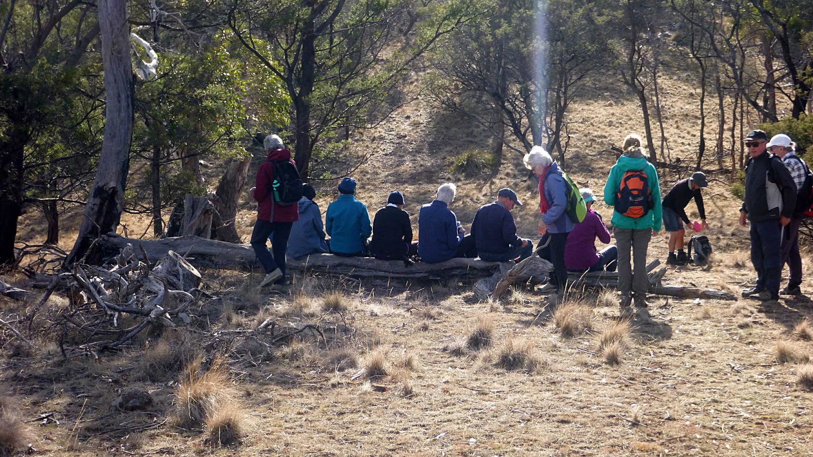
We make our way along the ridge, looking for a spot for Morning Tea. Bob found this log with seating for almost all.
 |
| Morning Tea |
 |
| Always some independents along |
Morning Tea finished, we head up Madmans Hill, a steep but not very long climb.
 |
| Heading into the low Winter Sun |
 |
| Not too steep at the moment |
 |
| Orange tape trail marker |
 |
| It's getting steeper |
I think it was just before this section that I became entangled with a couple of really determined sticks, ending up flat on my back after a fairly spectacular dance.
Muttering some magic words and noting the lack of concern of my fellow walkers, I righted myself and continued on.
 |
| That's Risdon Brook Reservoir in the distance |
 |
| We make it to the top of Madmans Hill |
 |
| Looking towards Mt. Dromedary |
About now Bob makes some suggestions to extend the walk. Gunners Quoin is next door and we make our way over, but decide not to climb today. Instead, we'll make another trip to do just that sometime in the future.
 |
| Gunners Quoin |
Decision taken, we begin to make our way down, finding a well used track. This takes us through an area with a large number of Grasstrees.
 |
| Tasmanian Grasstree (Xanthorrhoea australis) |
 |
| Neither grass nor a tree, it is extremely slow growing |
I think it was Peter & Wayne who pointed out the lack of any bushfire damage to the plants. It must have been a fair while since fire swept through here, otherwise the needles would have been burnt away around the bottom.
 |
| It's many years before the trunk begins to grow |
Large specimens can be up to three metres high and a metre across and 350 to 450 years old.
We're heading towards Risdon Brook which leads down to the top of the reservoir. This landscape has been well used over many years for stone quarrying, logging, etc. Soon we come to an old bush bridge over a dry Risdon Brook.
However, you can see from the photo below it's not always dry.
 |
| Wayne & Peter have a look at Risdon Brook |
This is an old bridge constructed originally with large gum logs, but it now has a very deep washout that the photos don't do justice to.
Looking from the side, it looks like a bush repair has been done in the past to extend the life of the bridge. It doesn't look very large here, but take my word for it, a very large pipe and a smaller one have been pushed under the logs to provide some support.
I'don't think I'd trust it with anything too heavy.
The others have gone ahead so we rush to catch up, but nature has slowed them down for us.
 |
| Looking across the valley |
 |
| We're catching up with the others... |
 |
| ...with nature's help |
It's not long before we reach the ring road around the reservoir.
This is also the arrival point of Risdon Brook. The water from the brook doesn't actually enter the reservoir, but is led around to exit next to the dam some distance away. From there it makes it way down to the River Derwent.
We've had little rain for sometime now, and you can see the effect on the reservoir in the photos.
 |
| Normally this would be all water |
Bob takes us along the dirt road for a while before branching up onto a bush track leading back to the cars. All the school children have left by now.
We had 14 walkers and covered 12.94km in 5:19hrs. A difficult walk for some, but weather was good and the walk interesting.
Click here to download GPX file


No comments:
Post a Comment