Today we are revisiting Victors Garden but rather than from Tolosa Park we will approach it from the end of Lenah Valley Road.
This walk was deferred a couple of weeks ago because of the low level of snow at that time. Today is supposed to be fine but windy.
After leaving the cars we start heading up the mountain.


Crossing New Town Rivulet and entering the Park.

An old warning sign for the dangers of walking on the Mountain.

An early style accommodation.

The rivulet still bears the scars of flooding that occurred about 4 years ago.

Commencing the climb up the Old Hobartians Track.


Now smiling because we are about to continue along the North South Track for a while.

But first we cross the New Town Rivulet again where the damage from the floods is once again obvious where this large rock crossing has been simply washed away.


Along the North South track we go.

Followed by some more climbing as we follow an old fire trail for about 1 km before entering the forest proper.

In the forest just before we arrive at Victors Garden.

There does not appear to be any information about the site or its occupancy other than anecdotal information.
While the site is called Victors Garden or Hut there are some suggestions that there may have been a sawmill on that site in the 19th century.
Victor's occupation occurred during the 1960-70's when he lived there and was described as an orthodox priest. The cabin he built at that time was two storey. There is little sign of his occupation and it is believed he left the area in the early 1980's.
The following photo was taken by Graeme Squires who was the author of an article titled "Victors Hut" in The Tasmanian Tramp Issue 32.
It does provide an idea of what was on the site.

The corner that marks one end of the garden precinct.

The garden Terrace and steps.

The remains of a chimney and what looks like an oven.


Even nature tries to take over the remaining debris and building materials that litter the site.

One of the large water storages located around the site which apparently retained and distributed the run-off to maintain the garden.


It appears that water was distributed using gravity to various pipes and channels.


This rock wall has a large storage area behind it.

Looking down and up an east west wall that appears to run the length of the site.


Walking across the bottom wall which in parts has deteriorated and partially collapsed due to being overgrown by the vegetation.


Standing in front of the lowest wall which stretches across to bottom of the site to the point where we first encountered the wall.

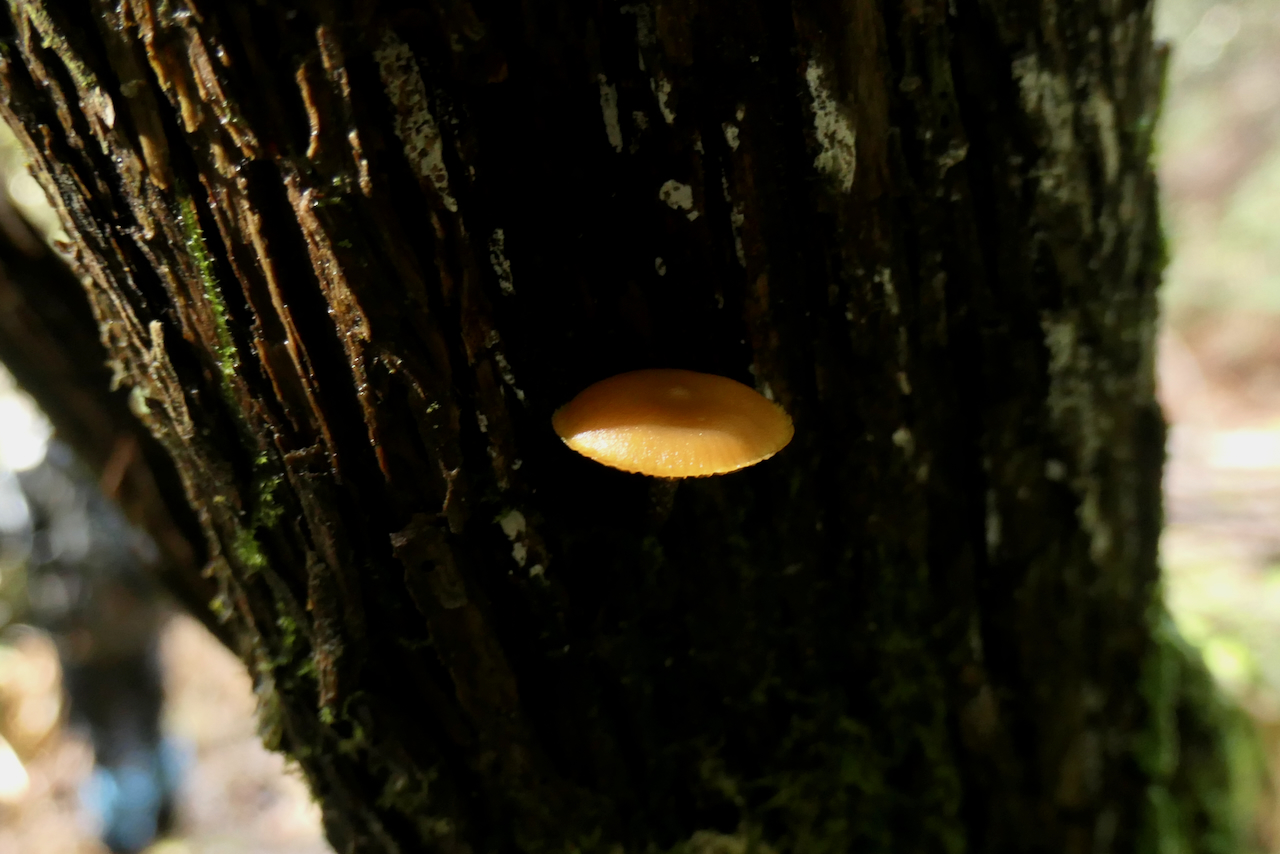
Walking back through the forest we noticed a number of funghi.


This crossing is over the New Town Rivulet and replaced the one further downstream that had been washed away.

The remains of an old hut at the junction of the Lenah Valley and Old Hobartians Track.

Heading back to the cars.

And rather than provide the overall map for the today's walk we have opted to provide an enlargement of the area of the garden showing our exploration of the garden site within the main constructed walls. The activity on the site was quite extensive.


We had 10 walkers who covered 8.8 kms over 4.4 hours climbing 450 meters on the day.
Interesting insight into some of the history on Mount Wellington.
No comments:
Post a Comment